
Stirling Close Collection
Stirling Close: A Hidden Gem in Multiple Locations If you're looking for a tranquil and picturesque neighborhood, the perfect place to call home


All Professionally Made to Order for Quick Shipping
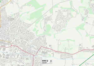
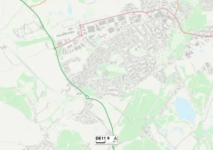
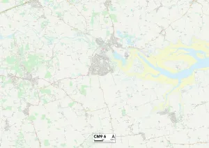
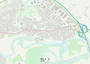
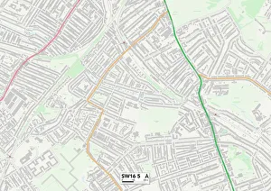
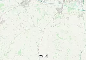
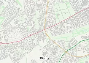
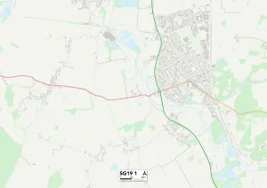
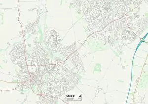
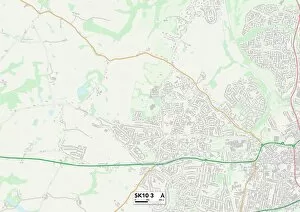
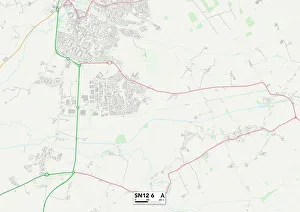
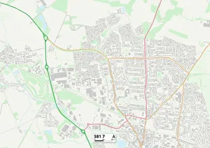
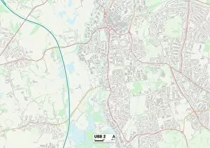
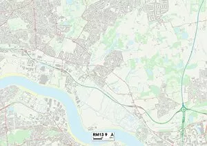
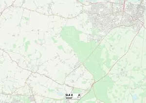
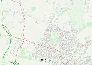
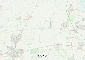
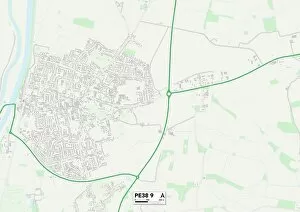
Stirling Close: A Hidden Gem in Multiple Locations If you're looking for a tranquil and picturesque neighborhood, the perfect place to call home. With its serene surroundings and convenient locations across various regions, this residential area offers something for everyone. In Wigan (WN7 2 Map), Stirling Close boasts a peaceful atmosphere that allows residents to escape the hustle and bustle of city life. Nestled amidst beautiful green spaces, it provides an idyllic setting for families or individuals seeking tranquility. Heading south to Derby (DE21 6 Map), Stirling Close continues to impress with its well-planned layout and close-knit community feel. Residents here enjoy easy access to amenities while still being able to appreciate the natural beauty of their surroundings. For those who prefer a more rural setting, South Derbyshire (DE11 9 Map) offers Stirling Close as an oasis away from urban chaos. Surrounded by stunning countryside views, this location is ideal for nature enthusiasts seeking peace and quiet. Maldon (CM9 6 Map) presents another opportunity to experience the charm of Stirling Close. Situated near riverside walks and historic landmarks, residents can immerse themselves in local history while enjoying modern comforts within reach. Warrington's (WA1 4 Map) version combines convenience with suburban bliss. With excellent transport links nearby, residents have easy access to both city amenities and scenic parks where they can unwind after a busy day. Venturing further south into New Forest (SO40 3 Map), one discovers yet another enchanting iteration of Stirling Close. This location offers proximity to ancient woodlands and breathtaking landscapes that make every stroll through the neighborhood feel like an adventure. Lambeth's SW16 5 Map showcases how even bustling areas can harbor hidden gems like Stirling Close. Here, residents benefit from vibrant city living alongside pockets of tranquility, creating a harmonious balance between urban excitement and peaceful retreats.