
Topo Collection
"Exploring the World Through Topo: A Journey through Centuries of Maps and Landscapes" Step back in time to 1768, as James Craig unveils his remarkable Map of New Town


All Professionally Made to Order for Quick Shipping
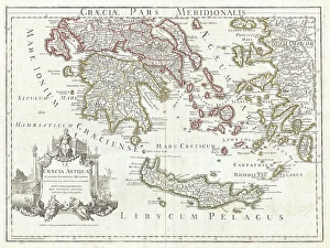
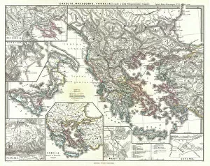
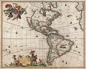
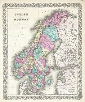
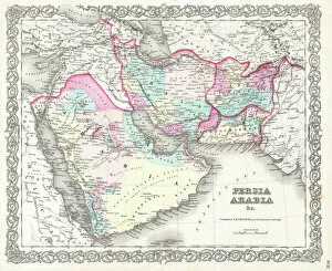
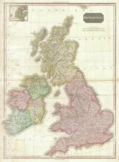
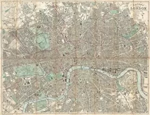
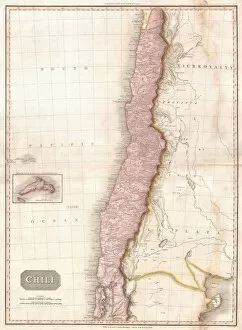
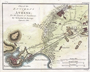
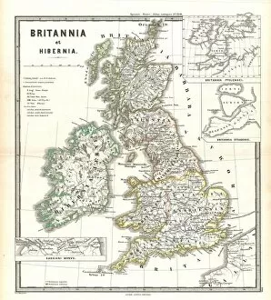
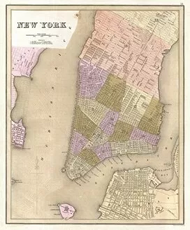
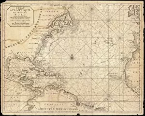
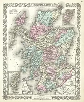
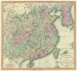
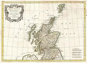
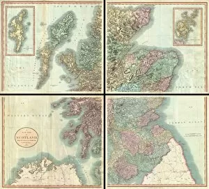
"Exploring the World Through Topo: A Journey through Centuries of Maps and Landscapes" Step back in time to 1768, as James Craig unveils his remarkable Map of New Town, Edinburgh, Scotland. This intricate piece showcases the topography of this vibrant city, offering a glimpse into its rich history. Fast forward to 1794, where Delisle presents us with a captivating Map of Southern Ancient Greece. With detailed depictions of Greek Isles and Crete's topography, we can almost feel the ancient civilization come alive before our eyes. In 1886, immerse yourself in a Telescopic View and Map of the Moon. Witness how cartography merges with geography as this lunar landscape unfolds before you. Explore every crater and mountain range meticulously captured by astronomers. Traveling across continents takes us to Visscher's 1658 Map of North America and South America. The intricately illustrated topography invites exploration from coast to coast - an invaluable resource for early explorers navigating these vast lands. The Colton Map of Scandinavia in 1855 offers a comprehensive view of Norway, Sweden, Finland's majestic landscapes. Cartographers skillfully depict their topography while capturing the essence that makes these countries so unique. Delve into ancient history with Spruner's 1865 Map showcasing Greece, Macedonia, and Thrace pre-Peloponnesian War. Discover how topographical features shaped battles fought on these very grounds centuries ago. Take a stroll through London's streets using Crutchley Pocket Map or Plan from 1848. Its precise depiction highlights not only roads but also reveals hidden details about London's evolving urban landscape over time. John Pinkerton brings forth his expertise in mapping British Isles with precision in his renowned map from1818. England, Scotland & Ireland are beautifully showcased; their diverse topographies blending seamlessly on paper. Journey eastward with Colton’s 1855 Map of Persia, Afghanistan, and Arabia.