
Townhead Collection
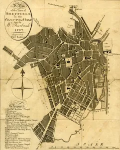
"Exploring the Historic Townhead: A Journey Through Time and Maps" Step into the past with a glimpse of Sheffield in 1797, as depicted in W


All Professionally Made to Order for Quick Shipping
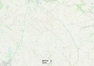
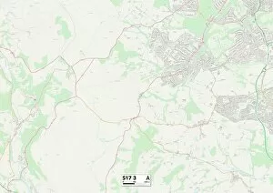
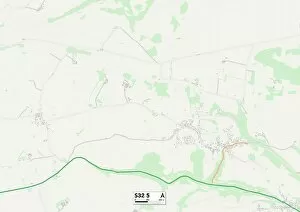
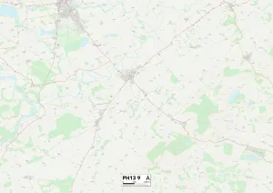
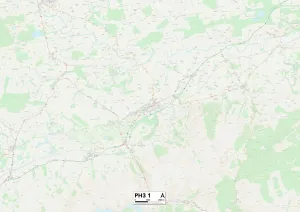
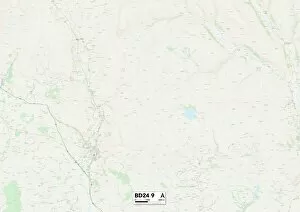
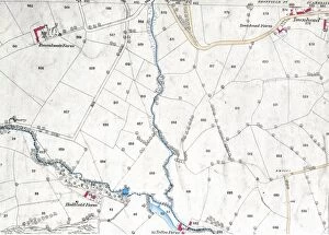
"Exploring the Historic Townhead: A Journey Through Time and Maps" Step into the past with a glimpse of Sheffield in 1797, as depicted in W. Fairbank's intricate plan of the town. Engraved by Thomas Harris, this map offers a fascinating window into the county of York during that era. Venturing further north, we find ourselves in Glasgow G4 0, where an Ordnance Survey map reveals the layout of this vibrant city district. From bustling streets to hidden gems, there is much to uncover within its boundaries. Traveling southwards, we arrive at Totley in Derbyshire Dales SK17 0. The Ordnance Survey map from 1876 showcases this picturesque area with its rolling hills and charming villages – an idyllic escape for nature lovers and history enthusiasts alike. Heading towards Sheffield S17 3 on another map, we discover a diverse range of neighborhoods and landmarks that make up this thriving city. From cultural hotspots to green spaces perfect for leisurely strolls, there is something for everyone here. Journeying westward brings us to Barnsley S36 4 in South Yorkshire. This detailed map highlights not only Barnsley itself but also its surrounding countryside – a testament to the region's rich heritage and natural beauty. Crossing over into Derbyshire Dales S32 5 takes us deeper into stunning landscapes dotted with quaint villages and historic sites. Immerse yourself in local traditions while exploring charming towns nestled amidst breathtaking scenery. Further north lies Perth and Kinross PH13 9 – an enchanting region captured on yet another captivating map. With its majestic mountains, serene lochs, and picturesque towns like Pitlochry or Dunkeld nearby; it's no wonder visitors are drawn here year-round. Delving deeper into Perth and Kinross PH3 1 unravels even more treasures waiting to be discovered.