
True Color Collection (page 2)
"Unveiling the World's True Colors: A Spectacular Satellite Journey" Embark on a mesmerizing satellite journey as we uncover the true colors of our planet


All Professionally Made to Order for Quick Shipping
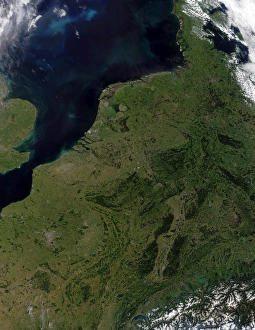
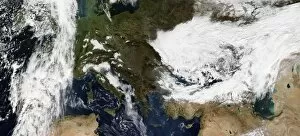
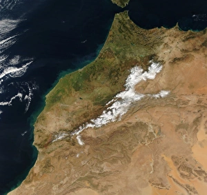
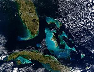
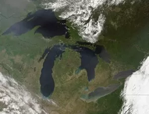
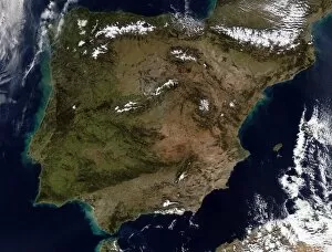
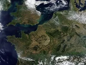
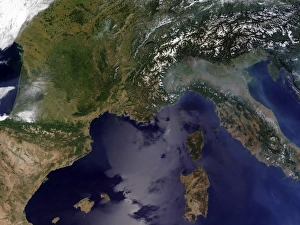
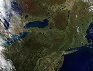
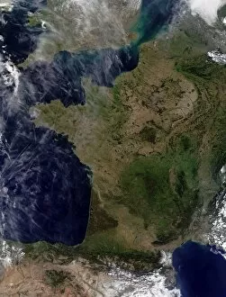
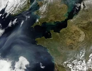
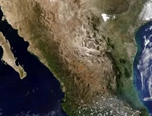
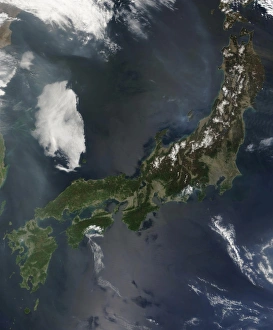
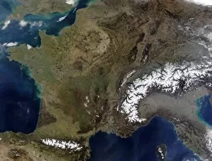
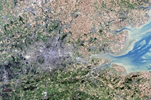
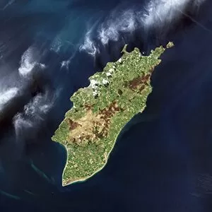
"Unveiling the World's True Colors: A Spectacular Satellite Journey" Embark on a mesmerizing satellite journey as we uncover the true colors of our planet. From the vibrant landscapes of New Zealand to the breathtaking vistas of Southern Africa, each view captures nature's palette in its purest form. Satellite view of New Zealand reveals an enchanting blend of lush green forests, snow-capped mountains, and pristine blue lakes. Witness Mother Nature at her finest as she paints this island nation with vivid hues that leave us in awe. Venturing further south, we explore Southern Africa from above. The contrasting shades of arid deserts against verdant savannahs showcase the region's diverse beauty, and is here where earthy browns meet vibrant greens, creating a tapestry that tells tales of resilience and life. Moving across continents, we soar over the Southeastern United States and witness a mosaic of colors unfolding beneath us. From golden fields stretching endlessly to emerald forests teeming with wildlife, this aerial spectacle showcases America's natural wonders in all their glory. As we glide towards the Mid-Atlantic United States, a stunning patchwork quilt emerges before our eyes. The Great Lakes shimmer like sapphires amidst surrounding lands adorned with autumnal oranges and fiery reds—a testament to nature's ability to transform ordinary landscapes into extraordinary masterpieces. Nature's fury takes center stage as Hurricane Elida and Hurricane Kenna dance across satellite views capturing their immense power and swirling chaos. These storms paint streaks of deep blues merging with ominous grays—a reminder that even within destruction lies an undeniable beauty born from atmospheric forces beyond our control. Crossing oceans once again brings us to Spain and Portugal—where azure coastlines merge seamlessly with sun-kissed terrains. This Mediterranean paradise boasts rich ochre tones blending harmoniously with cobalt waters—an invitation for wanderers seeking solace by these shores. Turkey unfolds beneath us, revealing a mesmerizing blend of ancient history and natural wonders.