
True Colour Collection
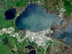
"Exploring the True Colours of our World: A Journey through Satellite Images" In February 2004, a mesmerizing world map unfolded before our eyes


All Professionally Made to Order for Quick Shipping
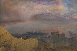
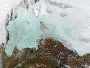
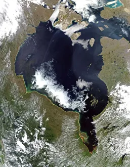
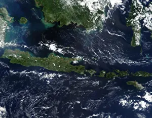
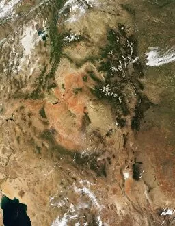
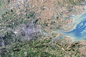
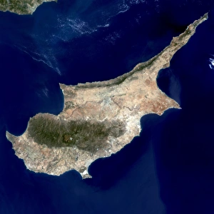
"Exploring the True Colours of our World: A Journey through Satellite Images" In February 2004, a mesmerizing world map unfolded before our eyes, revealing the true colours of our planet. From Cuba's vibrant landscapes to the vastness of the Whole Earth map, we embarked on an extraordinary visual adventure. As evening descended upon us, we witnessed a breathtaking view of Bay Naples with Vesuvius smoking in the distance. The ethereal hues painted across the sky mirrored nature's beauty at its finest. Moving towards colder regions, we observed the winter sea ice in the east Siberian Sea through true-colour Moderate Resolution Imaging. The frozen landscape seemed like a work of art crafted by Mother Nature herself. The Nelson River and Hudson Bay came alive in another captivating image captured by True-colour Moderate Resolution technology. The intricate patterns formed by these water bodies left us awestruck as we marveled at their sheer magnificence. Venturing into marine realms, an enchanting sight awaited us in January 2002—a true-colour image showcasing the Irish Sea teeming with phytoplankton. This underwater spectacle reminded us of nature's delicate balance and its ability to create wonders even within seemingly ordinary waters. Indonesia revealed itself mid-May 2002 through a true-colour satellite image that showcased its diverse landscapes untouched by burning season. We were captivated by Indonesia's lush forests and pristine natural beauty that stretched as far as our eyes could see. Heading westward, we found ourselves immersed in awe-inspiring views of forest-covered Rocky Mountains within Four Corners region—the epitome of untamed wilderness harmoniously blending with rugged terrain beneath clear skies. London appeared resplendent from above when viewed through a true-colour satellite image—its urban sprawl juxtaposed against pockets of greenery served as a testament to human ingenuity coexisting alongside nature's grandeur. Cyprus unveiled its unique charm through a satellite image, showcasing its picturesque landscapes and azure coastlines.