Home > Arts > Photorealistic artworks > Detailed art pieces > Masterful detailing in art
2686691

![]()
Wall Art and Photo Gifts from Heritage Images
2686691
Heritage Images features heritage image collections
Media ID 15209096
FEATURES IN THESE COLLECTIONS
> Arts
> Photorealistic artworks
> Detailed art pieces
> Masterful detailing in art
> Maps and Charts
> Early Maps
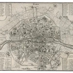
VISUAL DESCRIPTION
This is an image of a historical map, specifically a portolan chart, known for its detailed depiction of coastlines and seaports. The map features a network of rhumb lines - the straight lines radiating from various points used to plot courses on the seas. It showcases Europe, parts of North Africa, and Near East regions with intricate illustrations representing cities and landmarks. Various sea creatures can be seen in the oceans along with ships navigating the waters, highlighting the maritime focus of this type of cartography. The colors are vivid despite its age, suggesting it has been well-preserved or restored. This piece likely dates back to between the 15th and early 17th centuries when such maps were crucial for navigation and trade across the Mediterranean Sea and adjoining water bodies.
MADE IN AUSTRALIA
Safe Shipping with 30 Day Money Back Guarantee
FREE PERSONALISATION*
We are proud to offer a range of customisation features including Personalised Captions, Color Filters and Picture Zoom Tools
SECURE PAYMENTS
We happily accept a wide range of payment options so you can pay for the things you need in the way that is most convenient for you
* Options may vary by product and licensing agreement. Zoomed Pictures can be adjusted in the Cart.