Home > Arts > Artists > C > King Charles
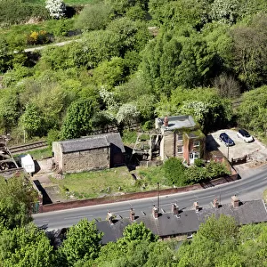
Barnsley S63 9 Map

![]()
Wall Art and Photo Gifts from Map Marketing
Barnsley S63 9 Map
Postcode Sector Map of Barnsley S63 9
Media ID 19980304
A635 Ainsdale Avenue Albert Road Barnsley Barnsley Road Charles Street Cherry Grove Co Operative Street Colliery Lane Cross Street Davey Road Derwent Gardens Doncaster Road Dudley Drive East Street Edward Road Elizabeth Street Frederick Street Furlong Road Garden Street George Street Greenside Close Hall Street Hamilton Road High Street Highfield Avenue Highgate Highgate Lane Holly Grove Hope Avenue Jackson Street Kennedy Drive King Street Lincoln Gardens Lockwood Road Main Street Manor Avenue Market Square Market Street Mason Street Melton Avenue Mulberry Close Orchard Street Parkgate Poplar Avenue Princess Road Queen Street Rowan Close St Marys Road St Michaels Close Straight Lane Victoria Street Washington Road Wellington Street West Street Whitworth Street William Street Windermere Avenue Goldthorpe Kelly Street
FEATURES IN THESE COLLECTIONS
> Arts
> Artists
> C
> King Charles
> Arts
> Artists
> C
> William Charles
> Arts
> Artists
> G
> Charles Green
> Arts
> Artists
> H
> William Hamilton
> Arts
> Artists
> J
> Mason Jackson
> Arts
> Artists
> K
> Nicholas King
> Arts
> Artists
> K
> William Kennedy
> Arts
> Artists
> Q
> Queen Victoria Queen Victoria
> Arts
> Artists
> W
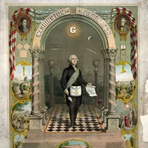
> George Washington
> Arts
> Artists
> W
> Georges Washington
> Map Marketing
> Postcode Sector Maps
> S - Sheffield
MADE IN AUSTRALIA
Safe Shipping with 30 Day Money Back Guarantee
FREE PERSONALISATION*
We are proud to offer a range of customisation features including Personalised Captions, Color Filters and Picture Zoom Tools
SECURE PAYMENTS
We happily accept a wide range of payment options so you can pay for the things you need in the way that is most convenient for you
* Options may vary by product and licensing agreement. Zoomed Pictures can be adjusted in the Cart.