Home > Arts > Artists > H > Robert Hills
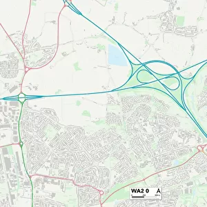
Cornwall PL11 2 Map

![]()
Wall Art and Photo Gifts from Map Marketing
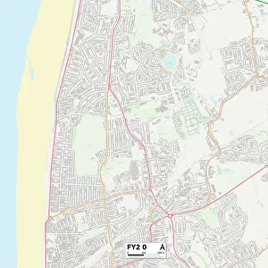
Cornwall PL11 2 Map
Postcode Sector Map of Cornwall PL11 2
Media ID 19978407
Adams Close Albion Road Beech Close Buller Close Buller Road Cedar Close Cedar Drive Chestnut Close Clarence Road Colwyn Road Cornwall Davy Close Dolphin Court Ferry Lane Ferry Street Fore Street Frobisher Way Grove Park Gurney Close Harbour Street Harvey Street Hawthorn Avenue King Street Kingsley Avenue Maple Avenue Marine Drive Mill Lane Moor View Mullion Close Murdock Road North Road Park Road Peacock Avenue Pendennis Close Primrose Close Quarry Street Roberts Avenue St James Road Sycamore Drive Sydney Road The Lawns The Meadows Vicarage Road Victoria Street Wellington Street Woodland Way York Road Hooper Street Torpoint
FEATURES IN THESE COLLECTIONS
> Arts
> Artists
> H
> Robert Hills
> Arts
> Artists
> R
> James Roberts
> Arts
> Portraits
> Pop art gallery
> Street art portraits
> Europe
> United Kingdom
> England
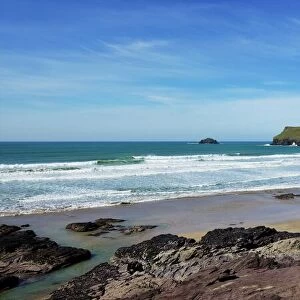
> Cornwall
> Cremyll
> Europe
> United Kingdom
> England
> Cornwall
> Gwithian
> Europe
> United Kingdom
> England
> Cornwall
> Mullion
> Europe
> United Kingdom
> England
> Cornwall
> North Hill
> Europe
> United Kingdom
> England
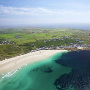
> Cornwall
> Pentire
> Europe
> United Kingdom
> England
> Cornwall
> Related Images
> Europe
> United Kingdom
> England
> Cornwall
> Sennen
> Map Marketing
> Postcode Sector Maps
> PL - Plymouth
MADE IN AUSTRALIA
Safe Shipping with 30 Day Money Back Guarantee
FREE PERSONALISATION*
We are proud to offer a range of customisation features including Personalised Captions, Color Filters and Picture Zoom Tools
SECURE PAYMENTS
We happily accept a wide range of payment options so you can pay for the things you need in the way that is most convenient for you
* Options may vary by product and licensing agreement. Zoomed Pictures can be adjusted in the Cart.