Home > Europe > United Kingdom > England > London > Boroughs > Ealing
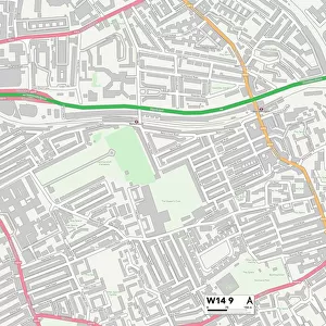
Ealing W13 9 Map

![]()
Wall Art and Photo Gifts from Map Marketing
Ealing W13 9 Map
Postcode Sector Map of Ealing W13 9
Media ID 19982852
Adelaide Road Balfour Road Balmoral Gardens Bernard Avenue Bowmans Close Brisbane Road Broomfield Place Broomfield Road Burns Road Canberra Road Carew Road Chamberlain Road Churchfield Road Coombe Road Dudley Gardens Ealing Glenfield Road Graham Avenue Green Avenue Grosvenor Road Haslemere Avenue Hatfield Road Jefferson Close Lancaster Gardens Leighton Road Littlewood Close Mayfield Avenue Melbourne Avenue Mervyn Road Midhurst Road Milford Road Northfield Avenue Northfield Road Oaklands Road Occupation Road Princes Road Raymond Avenue Regina Road Salisbury Road Seaford Road Sherwood Close Somerset Road St Aidans Road St James Avenue Sydney Road Tawny Close Walpole Close Westfield Road Windermere Road Woodstock Avenue Wrotham Road Wyndham Road Felton Road St Kilda Road
FEATURES IN THESE COLLECTIONS
> Europe
> United Kingdom
> England
> London
> Boroughs
> Ealing
> Europe
> United Kingdom
> England
> Somerset
> Broomfield
> Europe
> United Kingdom
> England
> Somerset
> Leighton
> Europe
> United Kingdom
> England
> Somerset
> Related Images
> Map Marketing
> Postcode Sector Maps
> W - London W
> Maps and Charts
> Related Images
MADE IN AUSTRALIA
Safe Shipping with 30 Day Money Back Guarantee
FREE PERSONALISATION*
We are proud to offer a range of customisation features including Personalised Captions, Color Filters and Picture Zoom Tools
SECURE PAYMENTS
We happily accept a wide range of payment options so you can pay for the things you need in the way that is most convenient for you
* Options may vary by product and licensing agreement. Zoomed Pictures can be adjusted in the Cart.