Home > Europe > United Kingdom > England > London > Boroughs > Hackney
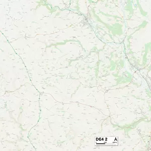
North East Derbyshire S18 7 Map

![]()
Wall Art and Photo Gifts from Map Marketing
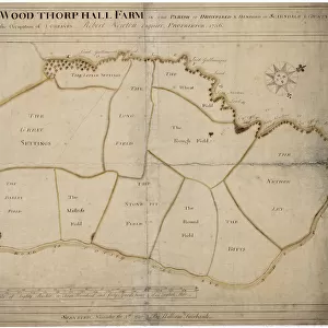
North East Derbyshire S18 7 Map
Postcode Sector Map of North East Derbyshire S18 7
Media ID 19980390
Bradley Lane Common Side Far Lane Fox Lane Furnace Lane Grange Lane Green Lane Hob Lane Keepers Lane Lydgate Main Road Mill Lane Mill Street New Road Newgate North East Derbyshire Park Avenue Park Rise Springfield Road The Crescent Valley Rise Valley Road Vicarage Close Woodside Avenue Woodside View Barlow Cowley
FEATURES IN THESE COLLECTIONS
> Arts
> Portraits
> Pop art gallery
> Street art portraits
> Europe
> United Kingdom
> England
> Derbyshire
> Barlow
> Europe
> United Kingdom
> England
> Derbyshire
> Bradley
> Europe
> United Kingdom
> England
> Derbyshire
> Common Side
> Europe
> United Kingdom
> England
> Derbyshire
> Holmesfield
> Europe
> United Kingdom
> England
> Derbyshire
> Lees
> Europe
> United Kingdom
> England
> Derbyshire
> New Mills
> Europe
> United Kingdom
> England
> Derbyshire
> Related Images
> Europe
> United Kingdom
> England
> London
> Boroughs
> Hackney
> Map Marketing
> Postcode Sector Maps
> S - Sheffield
> Maps and Charts
> Related Images
MADE IN AUSTRALIA
Safe Shipping with 30 Day Money Back Guarantee
FREE PERSONALISATION*
We are proud to offer a range of customisation features including Personalised Captions, Color Filters and Picture Zoom Tools
SECURE PAYMENTS
We happily accept a wide range of payment options so you can pay for the things you need in the way that is most convenient for you
* Options may vary by product and licensing agreement. Zoomed Pictures can be adjusted in the Cart.