Home > Europe > United Kingdom > Northern Ireland > County Antrim > Portrush
Redcar & Cleveland TS11 8 Map

![]()
Wall Art and Photo Gifts from Map Marketing
Redcar & Cleveland TS11 8 Map
Postcode Sector Map of Redcar & Cleveland TS11 8
Media ID 19983016
Ainsdale Close Appleby Close Ashridge Close Beacon Drive Birkdale Road Coombe Hill Dale Street Ferndale Close Fishponds Road Ganton Close Gleneagles Road Hillside Close Hoylake Close Muirfield Close Oakdale Road Portrush Close Quarry Lane Redcar And Cleveland Rosemount Road Ryder Close Sandy Lane St Andrews Road St Annes Road St Georges Crescent Sunningdale Road Turnberry Drive Victoria Close Wentworth Crescent
FEATURES IN THESE COLLECTIONS
> Arts
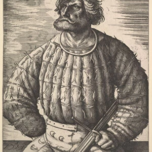
> Portraits
> Pop art gallery
> Street art portraits
> Europe
> United Kingdom
> England
> Cleveland
> Europe
> United Kingdom
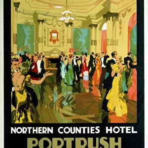
> Northern Ireland
> County Antrim
> Portrush
> Europe
> United Kingdom
> Scotland
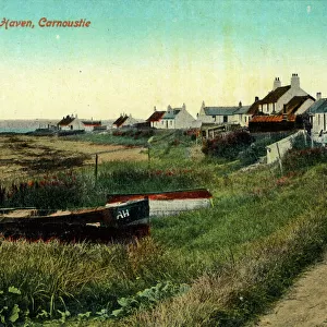
> Angus
> Carnoustie
> Europe
> United Kingdom
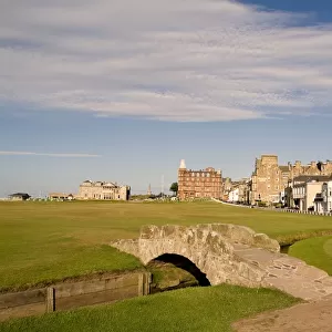
> Scotland
> Fife
> St Andrews
> Europe
> United Kingdom
> Scotland
> Strathclyde
> Greenock
> Europe
> United Kingdom
> Wales
> Gwynedd
> Harlech
> Map Marketing
> Postcode Sector Maps
> TS - Middlesbrough
> Maps and Charts
> Related Images
MADE IN AUSTRALIA
Safe Shipping with 30 Day Money Back Guarantee
FREE PERSONALISATION*
We are proud to offer a range of customisation features including Personalised Captions, Color Filters and Picture Zoom Tools
SECURE PAYMENTS
We happily accept a wide range of payment options so you can pay for the things you need in the way that is most convenient for you
* Options may vary by product and licensing agreement. Zoomed Pictures can be adjusted in the Cart.