Home > Europe > United Kingdom > Wales > Wrexham > Chirk
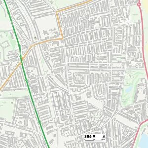
Wrexham LL14 5 Map

![]()
Wall Art and Photo Gifts from Map Marketing
Wrexham LL14 5 Map
Postcode Sector Map of Wrexham LL14 5
Media ID 19974078
Ash Grove Berwyn Avenue Castle Crescent Castle Road Chapel Lane Charles Street Church Street Colliery Road Coronation Drive Duke Street Ewart Street George Street Green Lane Hadley Close Halton John Street Linden Avenue Maes Hyfryd Maes Yr Ysgol Oaklands Road Pentre Princess Avenue Richmond Gardens Shepherds Lane South View St Marys Close Station Road Sycamore Drive Telford Avenue The Nurseries West View Wrexham Chirk Offa Wern
FEATURES IN THESE COLLECTIONS
> Arts
> Artists
> G
> Charles Green
> Arts
> Artists
> R
> George Richmond
> Arts
> Artists
> S
> George Shepherd
> Arts
> Portraits
> Pop art gallery
> Street art portraits
> Europe
> United Kingdom
> Wales
> Wrexham
> Chirk
> Europe
> United Kingdom
> Wales
> Wrexham
> Wrexham
> Map Marketing
> Postcode Sector Maps
> LL - Llandudno
> Map Marketing
> UK Maps
> Maps and Charts
> Related Images
MADE IN AUSTRALIA
Safe Shipping with 30 Day Money Back Guarantee
FREE PERSONALISATION*
We are proud to offer a range of customisation features including Personalised Captions, Color Filters and Picture Zoom Tools
SECURE PAYMENTS
We happily accept a wide range of payment options so you can pay for the things you need in the way that is most convenient for you
* Options may vary by product and licensing agreement. Zoomed Pictures can be adjusted in the Cart.