Fraud Blocker Skip to main content

Home > Maps and Charts > Americas

Americas Collection (page 2)

"Americas " refers to a collection of maps and charts that depict the geography, topography, climate, demographics, and other aspects of North America

7,655 items

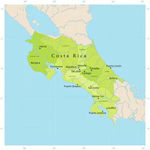
Background imageAmericas Collection: Costa Rica Vector Map

Costa Rica Vector Map
+++

Background imageAmericas Collection: Map of Texas 1867

Map of Texas 1867
Mitchells Modern Atlas - Published by E.H. Buttler & Co - Philadelphia 1867

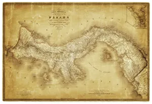
Background imageAmericas Collection: Map of Panama 1864

Map of Panama 1864
Map of Panama - combined with 2 different texture overlays

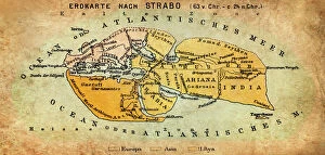
Background imageAmericas Collection: Map of the world according to Strabo

Map of the world according to Strabo 63 B.C

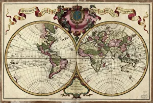
Background imageAmericas Collection: Map of the world, 1720

Map of the world, 1720
(Original Caption) 18th century map of the world. Published in Paris in 1720, this French map shows the known world, including the new lands that had been discovered in the preceding centuries by

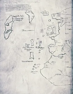
Background imageAmericas Collection: Vinland Map, oldest map of Greenland and Northern America areas discovered by Norse

Vinland Map, oldest map of Greenland and Northern America areas discovered by Norse, Vikings during their explorations
Cartography, 15th century. Vinland Map (circa 1440). Oldest map of Greenland and Northern America areas discovered by Norse (Vikings) during their explorations

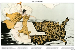
Background imageAmericas Collection: WOMENs SUFFRAGE, 1915. The Awakening. American cartoon, 1915, by Henry Mayer

WOMENs SUFFRAGE, 1915. The Awakening. American cartoon, 1915, by Henry Mayer, showing an allegorical representation of the suffrage cause striding across the western states

Background imageAmericas Collection: NEW YORK, 17th CENTURY. Rectified redraft of the Castello Plan of 1660

NEW YORK, 17th CENTURY. Rectified redraft of the Castello Plan of 1660, the earliest known plan of New Amsterdam

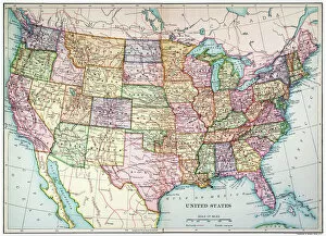
Background imageAmericas Collection: MAP: UNITED STATES, 1905. Map of the continental United States (excluding Alaska), 1905

MAP: UNITED STATES, 1905. Map of the continental United States (excluding Alaska), 1905

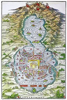
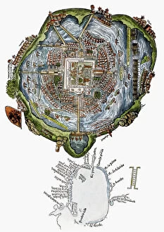
Background imageAmericas Collection: TENOCHTITLAN (MEXICO CITY) at the time of the Spanish Conquest: colored woodcut, 1556

TENOCHTITLAN (MEXICO CITY) at the time of the Spanish Conquest: colored woodcut, 1556

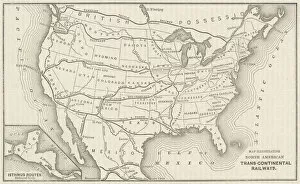
Background imageAmericas Collection: USA Railway Map

USA Railway Map
Transcontinental railway map of the United States of America and the adjoining British possessions. Date: 1883

Background imageAmericas Collection: Map of Scotland 1889

Map of Scotland 1889
Comprehensive Geography by James Monteith - American Book Company 1882, 1889

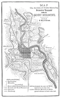
Background imageAmericas Collection: Squier Map of Hopewell Culture National Historical Park in Ross County, Ohio, USA

Squier Map of Hopewell Culture National Historical Park in Ross County, Ohio, USA
Map of the Scioto River Valley around Chillicothe in Ross County, New York, United States of America. Map by Ephraim George Squier

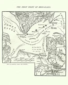
Background imageAmericas Collection: Map of the Battle of Hampton Roads

Map of the Battle of Hampton Roads
Vintage engraving of a Map of the Battle of Hampton Roads, often referred to as either the Battle of the Monitor and Merrimack (or Virginia) or the Battle of Ironclads

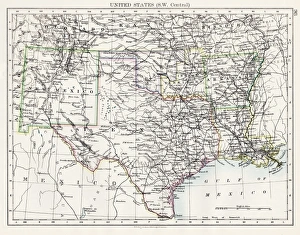
Background imageAmericas Collection: United States South West Central map 1897

United States South West Central map 1897
The World-Wide Atlas of Modern Geography, Political and Physical W. & A.K. Johnston - London 1897

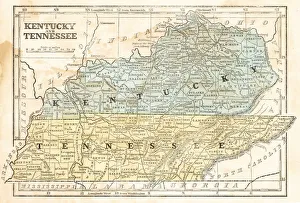
Background imageAmericas Collection: Map of Kentucky and Tennessee 1855

Map of Kentucky and Tennessee 1855
System of Geography for the use of schools by Sidney E. Morse - Published by Harper & Brothers - New York 1855

Background imageAmericas Collection: Old map of California 1855

Old map of California 1855
System of Geography for the use of schools by Sidney E. Morse - Published by Harper & Brothers - New York 1855

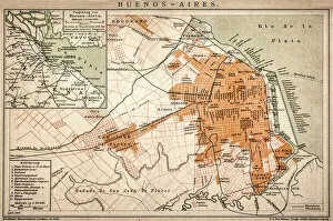
Background imageAmericas Collection: Buenos Aires map

Buenos Aires map
Antique engraving map of Buenos Aires

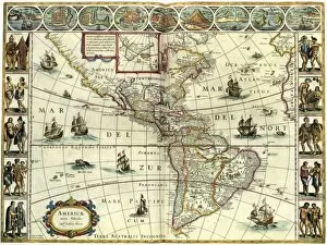
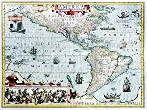
Background imageAmericas Collection: MAP: AMERICAS, c1630. A map of North and South America created by Dutch cartographer

MAP: AMERICAS, c1630. A map of North and South America created by Dutch cartographer and atlas maker Willem Blaeu. Map, c1630

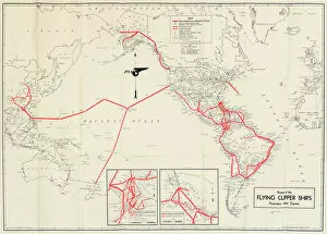
Background imageAmericas Collection: Pan American Airways route map

Pan American Airways route map
Pan American Airways System global route map of the Flying Clipper Ships (passengers, mail, express). circa 1938

Background imageAmericas Collection: BERING STRAIT MAP, 1593. Cornelis de Jodes 1593 map of Western North America showing the fabled

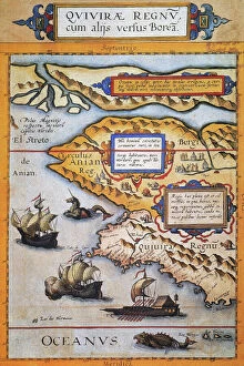
BERING STRAIT MAP, 1593. Cornelis de Jodes 1593 map of Western North America showing the fabled province of Quivira in California and the Bering Strait (El Streto de Anian)

Background imageAmericas Collection: TENOCHTITLAN (MEXICO CITY). Mexico City at the time of the Spanish Conquest

TENOCHTITLAN (MEXICO CITY). Mexico City at the time of the Spanish Conquest: colored woodcut from the Latin edition of Cortes Second Letter, Nuremberg, 1524

Background imageAmericas Collection: 17th century map of the New World

17th century map of the New World
Western Hemisphere, 17th century Dutch map. This shows the New World that was being discovered by Europeans exploring the Western Hemisphere of the Earth

Background imageAmericas Collection: Earths tectonic plates

Earths tectonic plates. Global map showing the boundaries of the tectonic plates that make up the Earths crust. The eight major plates are the: African Plate, Antarctic Plate, Indian Plate

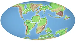
Background imageAmericas Collection: Continental drift, 100 million years ago

Continental drift, 100 million years ago. Map of the Earth showing the continents some 100 million years after the start of the break-up of the ancient supercontinent of Pangea

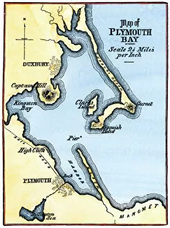
Background imageAmericas Collection: Map of Plymouth Bay, Massachusetts

Map of Plymouth Bay, Massachusetts
Plymouth Bay on the northern coast of Cape Cod, Massachusetts. Hand colored woodcut of a 19th-century illustration

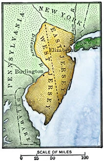
Background imageAmericas Collection: East Jersey and West Jersey

East Jersey and West Jersey
Map of colonial East and West Jersey, late 1600s. Hand-colored woodcut of a 19th-century illustration

Background imageAmericas Collection: Hudsons Bay Map

Hudsons Bay Map
HUDSONs BAY, at the time of the Seven Years War, showing French and English forts including Fort York, the principal settlement of the Hudsons Bay Company

Background imageAmericas Collection: Lorgues / Caribbean Map

Lorgues / Caribbean Map
A map showing the travels of Columbus in the Caribbean

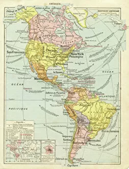
Background imageAmericas Collection: North and South America map 1887

North and South America map 1887
Map from La Premiere Annee de Geographie par P. Foncin - Paris 1887

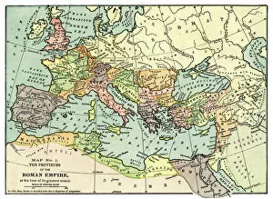
Background imageAmericas Collection: Map of the Roman Empire 1889

Map of the Roman Empire 1889
Comprehensive Geography by James Monteith - American Book Company 1882, 1889

Background imageAmericas Collection: Map of Mexico and Central America 1889

Map of Mexico and Central America 1889
Indiana Educational Series The Complete Geography - Indianapolis 1889

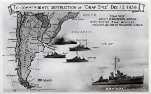
Background imageAmericas Collection: Card commemorating Graf Spee destruction, WW2

Card commemorating Graf Spee destruction, WW2
Card commemorating the destruction of the German cruiser, Admiral Graf Spee, on 13 December 1939 by HMS Exeter, Ajax and Achilles following the Battle of the River Plate. Date: 1939

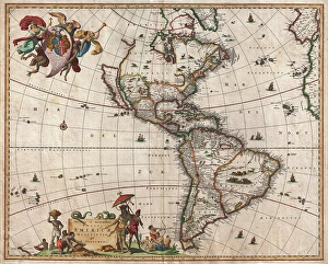
Background imageAmericas Collection: 1658, Visscher Map of North America and South America, topography, cartography, geography

1658, Visscher Map of North America and South America, topography, cartography, geography
1658, Visscher Map of North America and South America

Background imageAmericas Collection: Map of Texas 1856

Map of Texas 1856
Colton and Fitchs Modern School Geography by George W. Fitch - New York 1856

Background imageAmericas Collection: Ocean currents off the Americas

Ocean currents off the Americas. Satellite-based graphic showing ocean currents (swirling coloured lines) on an Earth globe centred on the Americas

Background imageAmericas Collection: Map of Canada 1878

Map of Canada 1878
Encyclopedia Britannica 9th Edition Vol II New York, Samuel Hall 1878

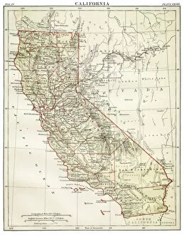
Background imageAmericas Collection: Map of California 1878

Map of California 1878
Encyclopedia Britannica 9th Edition Vol II New York, Samuel Hall 1878

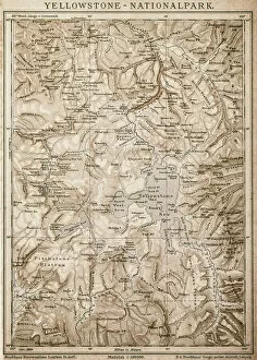
Background imageAmericas Collection: Map of Yellowstone National Park, USA

Map of Yellowstone National Park, USA

Background imageAmericas Collection: Caribbean map

Caribbean map
Antique map of Cuba, Jamaica, Puerto Rico

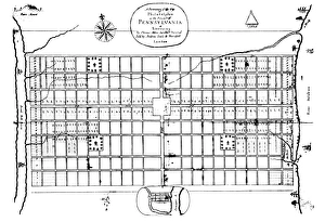
Background imageAmericas Collection: The first engraved plan of the city of Philadelphia by Thomas Holme, 1683

The first engraved plan of the city of Philadelphia by Thomas Holme, 1683
PHILADELPHIA: MAP, 1683. The first engraved plan of the city of Philadelphia by Thomas Holme, 1683

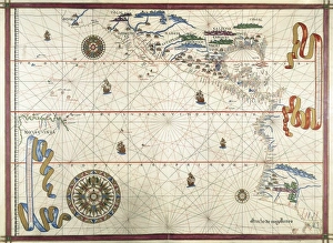
Background imageAmericas Collection: Portolan chart, 1591. Map of the Pacific Ocean

Portolan chart, 1591. Map of the Pacific Ocean. It depicts the western coast of Central and South America, from Mexico to the Strait of Magellan. Renaissance art. Miniature Painting

Background imageAmericas Collection: CARIBBEAN: MAP, 1775. English engraved map of The Caribee Islands from Puerto Rico to Barbados by

CARIBBEAN: MAP, 1775. English engraved map of The Caribee Islands from Puerto Rico to Barbados by Thomas Jefferys, 1775

Background imageAmericas Collection: FILM: CASABLANCA, 1942. Sidney Greenstreet and Ingrid Bergman in Casablanca directed by Michael

FILM: CASABLANCA, 1942. Sidney Greenstreet and Ingrid Bergman in Casablanca directed by Michael Curtiz, 1942

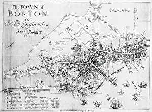
Background imageAmericas Collection: BOSTON MAP, 1722. A map of Boston, Massachusetts, by John Bonner. Line engraving, 1722

BOSTON MAP, 1722. A map of Boston, Massachusetts, by John Bonner. Line engraving, 1722

Background imageAmericas Collection: MAP: PUERTO RICO, 1900. Map of Puerto Rico printed in the United States, c1900

MAP: PUERTO RICO, 1900. Map of Puerto Rico printed in the United States, c1900

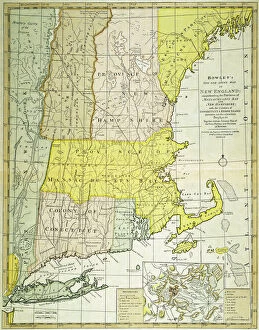
Background imageAmericas Collection: NEW ENGLAND MAP, c1775. Engraved map, c1775, of colonial New England

NEW ENGLAND MAP, c1775. Engraved map, c1775, of colonial New England, thought to be the last such map printed before the American Revolutionary War

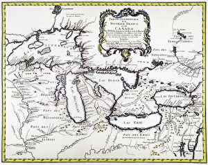
Background imageAmericas Collection: GREAT LAKES MAP, 1755. French engraved map of the Great Lakes, 1755

GREAT LAKES MAP, 1755. French engraved map of the Great Lakes, 1755


All Professionally Made to Order for Quick Shipping


-

Americas Collection

"Americas " refers to a collection of maps and charts that depict the geography, topography, climate, demographics, and other aspects of North America, Central America, South America, and the Caribbean. These maps and charts are used for educational purposes in schools and universities as well as by researchers studying various topics related to the Americas. They provide valuable information about landforms such as mountains, rivers, lakes; political boundaries between countries; population density; natural resources distribution; transportation networks; weather patterns among others. The use of these maps has helped people understand the complex nature of this vast region better.
+

Our beautiful pictures are available as Framed Prints, Photos, Wall Art and Photo Gifts

The Americas collection from Media Storehouse is a stunning assortment of wall art and framed prints that showcase the beauty and diversity of North, Central, and South America. Our collection features an extensive range of maps and charts that depict various regions, cities, countries, oceans, mountains, rivers, lakes as well as historical events such as explorations and discoveries. The artwork is available in different sizes to suit any space or decor style. Our collection offers a unique opportunity to explore the rich cultural heritage of the Americas through visually striking images. Whether you are looking for vintage maps or contemporary designs with bold colors or intricate details - our collection has something for everyone. These high-quality prints are perfect for home decoration or office spaces. The Americas collection from Media Storehouse provides an excellent way to appreciate the natural beauty and history of this vast continent while adding a touch of sophistication to your living space.
+

What are Americas (Maps and Charts) art prints?

America's Maps and Charts art prints are a collection of stunningly detailed, high-quality reproductions of historical maps and charts from the United States. These prints showcase the rich history and geography of America, featuring intricate details such as coastlines, rivers, mountains, cities, and landmarks. From antique maps dating back to the 18th century to modern-day topographical charts, this collection offers a wide range of styles and subjects for any decor or interest. Whether you're looking for a vintage map of your hometown or an artistic rendering of the Grand Canyon, there is something for everyone in this extensive collection. Each print is carefully crafted using state-of-the-art printing technology to ensure that every detail is captured with precision and accuracy. They are printed on high-quality paper stock that will last for years to come. America's Maps and Charts art prints make excellent gifts for history buffs or anyone who appreciates fine art. They can be framed or displayed as-is to add a touch of sophistication to any room in your home or office.
+

What Americas (Maps and Charts) art prints can I buy from Media Storehouse?

We offer a wide range of America's maps and charts art prints that you can buy. These include vintage maps, antique charts, historical diagrams, and contemporary cartography designs. You can choose from various sizes and formats such as framed or unframed prints, canvas wraps, or photographic prints. Some of the popular America's maps and charts art prints available at Media Storehouse are the Vintage Map of United States by John Melish (1816), Antique Chart of New York Harbor (1855), Historical Diagram Showing the Growth of American Railroads (1860-1890), Contemporary Map Artwork of Manhattan Island in New York City by Michael Tompsett, among others. Whether you're looking for a unique wall decor for your home or office space or searching for a special gift for someone who loves geography or history, we have plenty to offer when it comes to America's maps and charts art prints.
+

How do I buy Americas (Maps and Charts) art prints?

To buy America's maps and charts art prints from Media Storehouse, you can browse our extensive collection of high-quality images online. Once you have found the artwork that you want to purchase, simply select the size and format that suits your needs. You can choose from a range of options including canvas prints, framed prints, or unframed prints. When making your purchase, be sure to provide accurate shipping information so that your order is delivered promptly and securely. We offer a variety of payment options for your convenience. Whether you are looking for historical maps or contemporary chart art, we have something to suit every taste and budget. Their vast selection of fine art prints ensures that there is always something new to discover in their collection. So if you're looking to add some beautiful map or chart artwork to your home or office decor, look no further than Media Storehouse.
+

How much do Americas (Maps and Charts) art prints cost?

We offer a wide range of America-themed art prints including maps and charts. The cost of our art prints varies depending on the size, material, and framing options chosen by the customer. We provide high-quality paper or canvas options for our customers to choose from. Our America-themed art prints are perfect for those who love history, geography or simply want to add some unique decor to their homes or offices. Our collection includes vintage maps and charts that showcase different regions in America such as New York City, California, Florida among others. We take pride in offering affordable prices without compromising on quality. Our team ensures that every print is produced with precision and care so that you can enjoy it for years to come. If you're looking for beautiful America-themed art prints at reasonable prices then look no further than Media Storehouse.
+

How will my Americas (Maps and Charts) art prints be delivered to me?

We take pride in delivering your Americas art prints with utmost care. We use high-quality packaging materials to ensure that your print arrives in perfect condition. Depending on the size of the print you have ordered, it will be either rolled or flat-packed for delivery. For smaller prints, we use a sturdy cardboard envelope to protect them during transit. Larger prints are carefully wrapped in acid-free tissue paper before being placed inside a strong postal tube. This ensures that they remain safe and secure throughout their journey. We work with trusted courier partners who offer reliable delivery services across the world. Once your order has been dispatched, you will receive an email notification containing tracking information so that you can keep track of its progress. At Media Storehouse, our priority is to deliver your Americas art prints safely and efficiently so that they arrive at your doorstep ready to be enjoyed for years to come.