Home > Oceania > Papua New Guinea > Maps
Capt Sir William Fraser

![]()
Wall Art and Photo Gifts from Mary Evans Picture Library
Capt Sir William Fraser
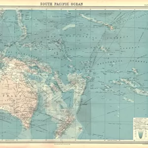
Capt Sir William Fraser, Bar F.R.S, (d.1818), one of the Elder Brethren of Trinity House, (1737 - 1818) on left a rolled chart of Papua New Guinea and holding a receipt for clear distance from sun and stars effects. He is know for the first to fix the longitude at sea through lunar observation
Mary Evans Picture Library makes available wonderful images created for people to enjoy over the centuries
Media ID 14148091
© Mary Evans Picture Library
Brethren Explore Fraser Guinea Longitude Lunar Maps Observation Papua Trinity
FEATURES IN THESE COLLECTIONS
> Maps and Charts
> Early Maps
> Maps and Charts
> Star Charts
> Oceania
> Papua New Guinea
> Maps
EDITORS COMMENTS
Captain Sir William Fraser (1737-1818), an Elder Brethren of Trinity House and a renowned navigator, is depicted in this image. With a chart of Papua New Guinea unfurled before him, Fraser's gaze is fixed on the celestial bodies above, as he holds a receipt for the precise measurement of the distance between the sun and stars. This groundbreaking achievement marked Fraser's significant contribution to the field of marine navigation. Fraser's legacy lies in his pioneering work on determining longitude at sea through lunar observation. Prior to this discovery, calculating longitude was a daunting challenge for mariners, as it required an accurate clock or a known longitude reference point. Fraser's method, which relied on observing the moon's position relative to specific stars, revolutionized navigation and greatly improved the safety and efficiency of sea voyages. The chart of Papua New Guinea, a region rich in exploration history, serves as a testament to Fraser's extensive travels and cartographic knowledge. His dedication to the pursuit of navigational accuracy and his commitment to advancing maritime exploration earned him the title of Sir and a Fellowship of the Royal Society. This evocative image encapsulates the spirit of adventure, discovery, and innovation that characterized the Age of Sail and continues to inspire us today.
MADE IN AUSTRALIA
Safe Shipping with 30 Day Money Back Guarantee
FREE PERSONALISATION*
We are proud to offer a range of customisation features including Personalised Captions, Color Filters and Picture Zoom Tools
SECURE PAYMENTS
We happily accept a wide range of payment options so you can pay for the things you need in the way that is most convenient for you
* Options may vary by product and licensing agreement. Zoomed Pictures can be adjusted in the Cart.