Fraud Blocker Skip to main content

Home > Europe > United Kingdom > Wales > Maps

Map / England & Wales 9C

Map  /  England & Wales 9C
Sold 8
In Stock
We accept all major credit cards

Mary Evans Picture Library Photo Prints and Wall Art

Map / England & Wales 9C

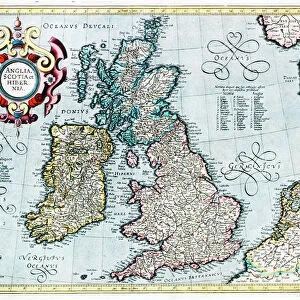
England and Wales during the Saxon era. Mary Evans Picture Library makes available wonderful images created for people to enjoy over the centuries. © Mary Evans Picture Library 2015 - https://copyrighthub.org/s0/hub1/creation/maryevans/MaryEvansPictureID/10009510

Media ID 573978

Maps Saxon

FEATURES IN THESE COLLECTIONS

> Europe > United Kingdom > England > Maps

> Europe > United Kingdom > Wales > Maps

> Europe > United Kingdom > Wales > Posters

> Europe > United Kingdom > Wales > Related Images

> Maps and Charts > Early Maps

> Maps and Charts > Related Images

> Maps and Charts > Wales

> Mary Evans Prints Online > Maps

SECURE PAYMENTS
We happily accept a wide range of payment options so you can pay for the things you need in the way that is most convenient for you

MADE IN AUSTRALIA
Safe Shipping with 30 Day Money Back Guarantee

FREE PERSONALISATION
We are proud to offer a range of customisation including Cropping, Captions, and Filters. Zoom Cropping can be adjusted in the Basket.


EDITORS COMMENTS

This print of a map titled "England & Wales 9C" transports us back in time to the Saxon era, providing a glimpse into the historical landscape of Britain during the 9th century. The intricate details and ancient borders depicted on this map offer a fascinating insight into the political and geographical makeup of England and Wales centuries ago. As we study this piece, we are reminded of the rich history and cultural heritage that have shaped these lands over generations. The names of towns, rivers, and regions evoke a sense of nostalgia for a bygone era when kingdoms rose and fell, battles were fought, and societies evolved. The craftsmanship evident in this map is truly remarkable, showcasing the artistry and precision required to create such detailed cartography without modern technology. Each line drawn represents not just physical geography but also political boundaries and societal structures that defined life in England and Wales during this period. Through this print from Mary Evans Picture Library, we are able to connect with our past in a tangible way, appreciating the complexities of our shared history while gaining a deeper understanding of how our present-day landscapes came to be. It serves as a reminder that beneath our modern world lies layers upon layers of stories waiting to be discovered.


Framed Prints

Discover the rich history of England and Wales during the Saxon era with our stunning Framed Print from the Media Storehouse collection, featuring the captivating "Map / England & Wales 9C" by Mary Evans Picture Library from Mary Evans Prints Online. This intricately detailed map transports you back in time, showcasing the intricacies of the region's historical geography. Each print is expertly framed in a sleek, contemporary design, adding an elegant touch to any room while showcasing your appreciation for history. Bring the past to life with this beautiful and authentic addition to your home or office decor.


Photo Prints

Discover the rich history of England and Wales during the Saxon era with our stunning photographic print from Mary Evans Picture Library. This exquisite image, titled "Map / England & Wales 9C," transports you back in time with intricate details and vibrant colors. Each print from the Media Storehouse range is produced using premium-quality materials, ensuring a beautiful and long-lasting addition to your home or office. Bring history to life with this captivating piece of art.


Poster Prints

Discover the rich history of England and Wales during the Saxon era with our stunning poster prints from the Media Storehouse collection, featuring the captivating image "Map / England & Wales 9C" by Mary Evans Picture Library from Mary Evans Prints Online. This exquisite poster brings the past to life, transporting you back in time with intricate details and vibrant colors. Perfect for history enthusiasts, educators, or anyone who appreciates beautiful art, this poster is a must-have addition to your home or office space. Immerse yourself in the story of England and Wales' fascinating past with this stunning, high-quality poster print.


Jigsaw Puzzles

Discover the captivating history of England and Wales during the Saxon era with our exquisite jigsaw puzzle from the Media Storehouse collection. Featuring an intricately detailed image from Mary Evans Picture Library, this puzzle showcases a captivating map that transports you back in time. With a rich tapestry of history hidden within each piece, this 9C puzzle is perfect for history enthusiasts, puzzle collectors, or anyone seeking an engaging and educational activity. Unravel the intricacies of this beautiful puzzle and bring the past to life in your living room.

diamond
Made With High Grade Materials
thumb_up
Professional Quality Finish
package_2
Carefully Packed To Aid Safe Arrival

You May Also Like


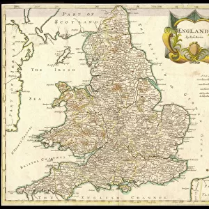
Map / England & Wales 1810Map / England & Wales 1810
Add to Basket
Map of Britain in 597 ADMap of Britain in 597 AD
Add to Basket
Stag / Monarch of Glen 19CStag / Monarch of Glen 19C
Add to Basket
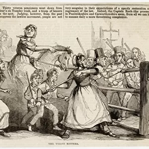
Rebecca Riots / 1843Rebecca Riots / 1843
Add to Basket
St George / Knight&rumleysSt George / Knight&rumleys
Add to Basket
Snowdon from Llyn Nantlle, North WalesSnowdon from Llyn Nantlle, North Wales
Add to Basket
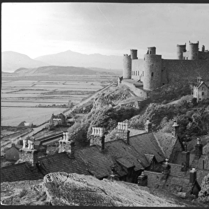
Harlech CastleHarlech Castle
Add to Basket
Railway Sleeper - Aberystwyth StationRailway Sleeper - Aberystwyth Station
Add to Basket
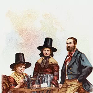
Welsh Lady using a Singer Sewing MachineWelsh Lady using a Singer Sewing Machine
Add to Basket
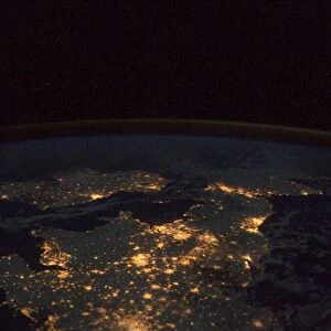
UK at night from spaceUK at night from space
Add to Basket
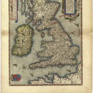
16th century map of the British Isles16th century map of the British Isles
Add to Basket
16th century map of the British Isles16th century map of the British Isles
Add to Basket

Gallery Wall Inspiration

Map / Asia / India C1870
Map / Asia / India C1850
Map of Ancient Greece
World Map Empire McVitie
Maps / Australia / New Zea
Map / Europe / Germany 1871
Maps / World / Eratosthenes
Maps / Australia 1854
World Known to Ptolemy
Map / Europe / France / Paris
Map / Europe / Poland 1772
London Map 1560 / Aggas
Overton World Map / 1670
WORLD MAP / 1897
Map of St Pauls and area
Map / Europe / Greece / Ford
Map /s America / Brazil 16C
Maps / Americas 1540
Maps / World / Ptolemy 2Ad
Mercator / World Map / 1587
Map / Britain / Saxon Period
Atlantis / Map
Map / Russia / Siberia 1764
Map / China / Tibet 1749
Map / Europe / Germany 1827
Map / England & Wales 1810
Map / England & Wales 9C

Discover Our Collections


MapsMaps
View Collection
Early MapsEarly Maps
View Collection
Wales Related ImagesWales Related Images
View Collection
Maps and Charts Related ImagesMaps and Charts Related Images
View Collection
WalesWales
View Collection
MapsMaps
View Collection
MapsMaps
View Collection
PostersPosters
View Collection


© Copyright Media Storehouse, All Rights Reserved 2003 - 2024
Facebook     Pinterest     Card Payments     Reviews IO