Fraud Blocker Skip to main content

Home > North America > United States of America > Maps

Maps Collection

Maps of the United States of America North America are detailed representations of the physical features and boundaries of the region

Choose a picture from our Maps Collection for your Wall Art and Photo Gifts

4,522 items

Background imageMaps Collection: Blue map of USA and the Caribbean sea

Blue map of USA and the Caribbean sea
Rosana Laiz Blursbyai

Background imageMaps Collection: USA Political Map

USA Political Map
This very clean and clear USA political map shows each State in a different colour as well as principal cities and towns divided into six separate population bands

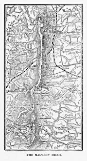
Background imageMaps Collection: Map of Malvern Hills in Worcestershire, England Victorian Engraving, 1840

Map of Malvern Hills in Worcestershire, England Victorian Engraving, 1840
Very Rare, Beautifully Illustrated Antique Engraving of Map of Malvern Hills in Worcestershire, England Victorian Engraving, 1840. Source: Original edition from my own archives

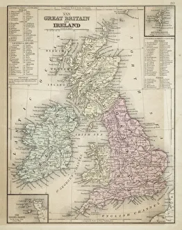
Background imageMaps Collection: Great Britain and Ireland map 1867

Great Britain and Ireland map 1867
Mitchell's Modern Atlas - Published by E.H. Butler and Co - Philadelphia 1867

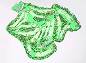
Background imageMaps Collection: Illustrated map of Augusta National Golf Course, Augusta, Georgia, USA

Illustrated map of Augusta National Golf Course, Augusta, Georgia, USA

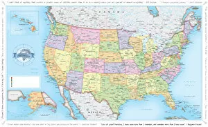
Background imageMaps Collection: USA Traveler Map

USA Traveler Map
A vibrant and detailed map of USA including state boundaries, state capitals, major cities and towns overlaid on a subtle relief background

Background imageMaps Collection: USA Map - illustration

USA Map - illustration
Colored Map of the United States

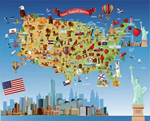
Background imageMaps Collection: Cartoon map of USA

Cartoon map of USA

Background imageMaps Collection: Highly detailed USA Road Map

Highly detailed USA Road Map
Highly detailed map of United States with roads, states, big cities, rivers and some other objects

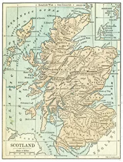
Background imageMaps Collection: Scotland map 1875

Scotland map 1875
The Independent Course Comprehensive Geography by James Monteith, A.S. Barnes & Co, New York & Chicago 1875

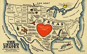
Background imageMaps Collection: United States and Texas State Map. ca. 1948, Texas, USA, THE UNITED STATES AS SEEN THROUGH THE

United States and Texas State Map. ca. 1948, Texas, USA, THE UNITED STATES AS SEEN THROUGH THE EYES OF TEXAS

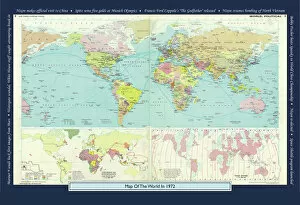
Background imageMaps Collection: Historical World Events map 1972 US version

Historical World Events map 1972 US version
A world map originally published in 1972, reproduced from the internationally famousCollins Bartholomew World Through Timehistoric cartographic archive

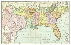
Background imageMaps Collection: Map of Southern States USA 1895

Map of Southern States USA 1895
The Rand-McNally Grammar School Geography 1895 - Chicago & New York

Background imageMaps Collection: Antique map of USA in the 19th Century, 1873

Antique map of USA in the 19th Century, 1873
Vintage engraving of a Antique map of United States of America in the 19th Century, 1873

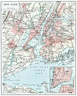
Background imageMaps Collection: Map of New York city 1896

Map of New York city 1896
Ilustration of a Map of New York city 1896

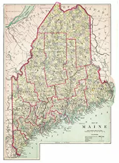
Background imageMaps Collection: Map of Maine USA 1883

Map of Maine USA 1883
Warrens Common School Geography

Background imageMaps Collection: Iowa 1852 Map

Iowa 1852 Map

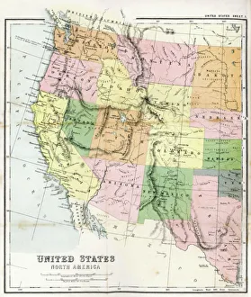
Background imageMaps Collection: Antique Map of Western USA

Antique Map of Western USA
Antique Map from 1867 of Western United States of America

Background imageMaps Collection: NYC Region and Long Island Map

NYC Region and Long Island Map
A map of the region around New York City and Long Island, including New Jersey and the coast of Connecticut. Includes major highways, cities, and lakes

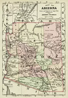
Background imageMaps Collection: Arizona map 1893

Arizona map 1893
Johnsonas Universal Cyclopedia - Charles Kendall - New York 1893

Background imageMaps Collection: Map of Texas 1867

Map of Texas 1867
Mitchells Modern Atlas - Published by E.H. Buttler & Co - Philadelphia 1867

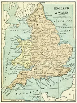
Background imageMaps Collection: England and Wales map 1875

England and Wales map 1875
The Independent Course Comprehensive Geography by James Monteith, A.S. Barnes & Co, New York & Chicago 1875

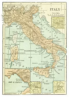
Background imageMaps Collection: Italy map 1875

Italy map 1875
The Independent Course Comprehensive Geography by James Monteith, A.S. Barnes & Co, New York & Chicago 1875

Background imageMaps Collection: Palestine map 1875

Palestine map 1875
The Independent Course Comprehensive Geography by James Monteith, A.S. Barnes & Co, New York & Chicago 1875

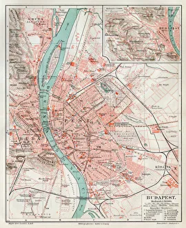
Background imageMaps Collection: Budapest city map 1895

Budapest city map 1895
Meyers Konversations-Lexikon. Ein Nachschlagewerk des allgemeinen Wissens, 5th edition 17 volumes Bibliographisches Institut - Leipzig 1895-1897

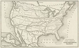
Background imageMaps Collection: USA Railway Map

USA Railway Map
Transcontinental railway map of the United States of America and the adjoining British possessions. Date: 1883

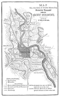
Background imageMaps Collection: Squier Map of Hopewell Culture National Historical Park in Ross County, Ohio, USA

Squier Map of Hopewell Culture National Historical Park in Ross County, Ohio, USA
Map of the Scioto River Valley around Chillicothe in Ross County, New York, United States of America. Map by Ephraim George Squier

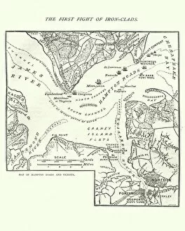
Background imageMaps Collection: Map of the Battle of Hampton Roads

Map of the Battle of Hampton Roads
Vintage engraving of a Map of the Battle of Hampton Roads, often referred to as either the Battle of the Monitor and Merrimack (or Virginia) or the Battle of Ironclads

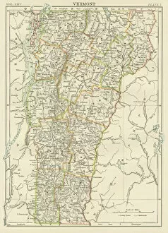
Background imageMaps Collection: Vermont USA map 1885

Vermont USA map 1885
Encyclopedia Britannica 9th Edition New York Charles Scribners and Sons 1885 Vol XXIV

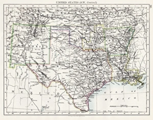
Background imageMaps Collection: United States South West Central map 1897

United States South West Central map 1897
The World-Wide Atlas of Modern Geography, Political and Physical W. & A.K. Johnston - London 1897

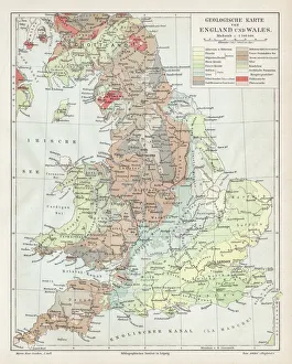
Background imageMaps Collection: England and wales map 1895

England and wales map 1895
Meyers Konversations-Lexikon. Ein Nachschlagewerk des allgemeinen Wissens, 5th edition 17 volumes Bibliographisches Institut - Leipzig 1895-1897

Background imageMaps Collection: Old map of California 1855

Old map of California 1855
System of Geography for the use of schools by Sidney E. Morse - Published by Harper & Brothers - New York 1855

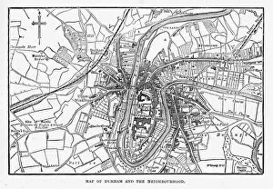
Background imageMaps Collection: Map of the City of Durham, England Victorian Engraving, 1840

Map of the City of Durham, England Victorian Engraving, 1840
Very Rare, Beautifully Illustrated Antique Engraving of Map of the City of Durham, England Victorian Engraving, 1840. Source: Original edition from my own archives

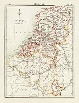
Background imageMaps Collection: Holland map 1881

Holland map 1881
Encyclopedia Britannica 9th Edition Vol XII Philadelphia j.M. Stoddart & Co 1881

Background imageMaps Collection: Huntingdon and Cambridge map 1881

Huntingdon and Cambridge map 1881
Encyclopedia Britannica 9th Edition Vol XII Philadelphia j.M. Stoddart & Co 1881

Background imageMaps Collection: Map of Maine 1883

Map of Maine 1883
Encyclopedia Britannica 9th Edition New York Samuel L. Hall 1883 Vol XV

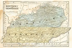
Background imageMaps Collection: Map of Kentucky and Tennessee 1855

Map of Kentucky and Tennessee 1855
System of Geography for the use of schools by Sidney E. Morse - Published by Harper & Brothers - New York 1855

Background imageMaps Collection: Map of Texas 1856

Map of Texas 1856
Colton and Fitchs Modern School Geography by George W. Fitch - New York 1856

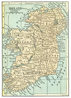
Background imageMaps Collection: Ireland map 1875

Ireland map 1875
The Independent Course Comprehensive Geography by James Monteith, A.S. Barnes & Co, New York & Chicago 1875

Background imageMaps Collection: Iceland map 1881

Iceland map 1881
Encyclopedia Britannica 9th Edition Vol XII Philadelphia j.M. Stoddart & Co 1881

Background imageMaps Collection: USA indian territories map 1881

USA indian territories map 1881
Encyclopedia Britannica 9th Edition Vol XII Philadelphia j.M. Stoddart & Co 1881

Background imageMaps Collection: Map of Canada 1878

Map of Canada 1878
Encyclopedia Britannica 9th Edition Vol II New York, Samuel Hall 1878

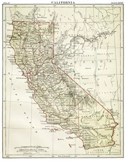
Background imageMaps Collection: Map of California 1878

Map of California 1878
Encyclopedia Britannica 9th Edition Vol II New York, Samuel Hall 1878

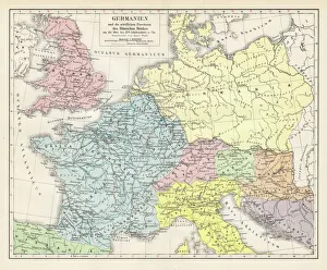
Background imageMaps Collection: Germany and the northern provinces of the roman empire map 1895

Germany and the northern provinces of the roman empire map 1895
Encyclopedia Britannica 9th Edition Vol I New York, Samuel Hall 1878

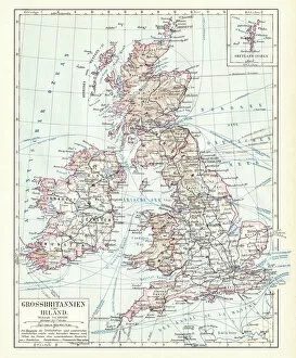
Background imageMaps Collection: Great Britain and England map 1895

Great Britain and England map 1895
Encyclopedia Britannica 9th Edition Vol I New York, Samuel Hall 1878

Background imageMaps Collection: Antique Greece empire map 1895

Antique Greece empire map 1895
Encyclopedia Britannica 9th Edition Vol I New York, Samuel Hall 1878

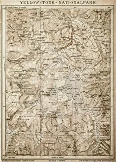
Background imageMaps Collection: Map of Yellowstone National Park, USA

Map of Yellowstone National Park, USA

Background imageMaps Collection: Caribbean map

Caribbean map
Antique map of Cuba, Jamaica, Puerto Rico


All Professionally Made to Order for Quick Shipping


-

Maps Collection

Maps of the United States of America North America are detailed representations of the physical features and boundaries of the region. These maps provide an overview of the area, including major cities, rivers, lakes, mountains, and other geographical features. they also show state borders as well as international boundaries with Canada and Mexico and can be used for a variety of purposes such as planning trips or studying geography. Additionally, these maps may include information about population density and other demographic data and can essential tools for understanding our world and can help us make informed decisions about where to go or how to plan our lives.
+

Our beautiful pictures are available as Framed Prints, Photos, Wall Art and Photo Gifts

Media Storehouse offers a collection of Maps of United States of America North America that showcases the beauty and diversity of this vast continent. Our collection features a range of maps, from vintage to modern, highlighting different regions and landmarks across the USA. These wall art and framed prints are perfect for those who love history, geography or simply want to add a touch of Americana to their home decor. The Maps of United States of America North America collection includes detailed topographical maps, city plans, antique maps featuring Native American tribes and early explorers' routes. The vibrant colors and intricate details make these prints stand out as unique pieces that can be used in any room or office space. Whether you're looking for an eye-catching centerpiece for your living room or a thoughtful gift for someone special, our Maps of United States of America North America collection has something to offer everyone who appreciates the beauty and complexity found within our country's borders.
+

What are Maps of United States of America North America art prints?

Maps of United States of America North America art prints are high-quality reproductions of maps that showcase the geography, topography, and landmarks of the United States. These art prints are created using advanced printing techniques that ensure accurate reproduction of every detail on the map. These maps can be used for a variety of purposes such as educational or decorative. They can help students learn about the geography and history of different regions in America while also serving as an attractive piece to display in homes or offices. The Maps of United States of America North America art prints come in various sizes and styles to fit any decor style. Some feature vintage designs with antique colors while others have modern graphics with bold colors. Whether you're looking for a unique gift idea or want to add some visual interest to your space, these art prints are an excellent choice. With their detailed depictions and stunning visuals, we offer a fascinating glimpse into American geography and history.
+

What Maps of United States of America North America art prints can I buy from Media Storehouse?

We offer a wide range of Maps of United States of America North America art prints that you can buy. These maps are available in various sizes and styles, including vintage, antique, modern, and colorful designs. You can choose from different types of maps such as topographical maps, road maps, political maps, and historical maps. The collection includes detailed city street plans for major cities like New York City or Los Angeles as well as state-specific map prints for all 50 states. Additionally there are regional US map posters showing the Midwest or the West Coast. You will find high-quality prints that are perfect for decorating your home or office space with an American theme. Whether you're looking to add some color to your walls or want a unique gift idea for someone who loves geography and history - Media Storehouse has something suitable for everyone's taste.
+

How do I buy Maps of United States of America North America art prints?

To purchase Maps of United States of America North America art prints from Media Storehouse, you can browse our collection online and select the print(s) that you like. Once you have chosen your preferred artwork, add it to your cart and proceed to checkout. During the checkout process, you will be prompted to enter your shipping information and payment details. We offer a variety of sizes for their art prints, so make sure to choose the size that best fits your needs. Additionally, we offer different framing options if you prefer a framed print. If you have any questions or concerns about purchasing Maps of United States of America North America art prints from Media Storehouse, don't hesitate to reach out to our customer service team for assistance. They are always happy to help.
+

How much do Maps of United States of America North America art prints cost?

The cost of Maps of United States of America North America art prints varies depending on the size, quality, and type of print. The price range can be quite broad, from affordable to expensive. It is important to note that different sellers may offer different prices for the same product. Factors such as the level of detail in the map, whether it is a vintage or modern design, and the printing technique used will all impact its cost. Additionally, limited edition prints or those signed by an artist may also come at a premium price. It is advisable to research various options before making a purchase decision so you can find a high-quality print that fits your budget. Many online stores offer discounts and promotions throughout the year which could help reduce costs further. Ultimately, it's worth investing in a good quality map print if you want something that will last for years to come and add character to any room in your home or office space.
+

How will my Maps of United States of America North America art prints be delivered to me?

Your Maps of United States of America North America art prints will be delivered to you in a safe and secure manner by Media Storehouse. The company takes great care in packaging your artwork so that it arrives at your doorstep in pristine condition. Your print will be carefully rolled and placed inside a sturdy tube, which is then sealed with protective caps on both ends. Media Storehouse uses reliable shipping carriers to ensure that your order is delivered promptly and efficiently. You can expect to receive updates on the status of your delivery via email or text message, depending on the carrier's tracking system. Once your package arrives, simply unroll the print and frame it according to your preference. With its high-quality printing technology, vibrant colors, and intricate details, you'll have a beautiful piece of art that captures the essence of North America's geography for years to come.