Fraud Blocker Skip to main content

Home > Maps and Charts > Related Images

Map of the parish of Sheffield by W. Fairbank and Son (engraved by J. Cary), 1795

Map of the parish of Sheffield by W. Fairbank and Son (engraved by J. Cary), 1795
Sold 6
In Stock
We accept all major credit cards

Sheffield City Archives Photo Prints and Wall Art

Map of the parish of Sheffield by W. Fairbank and Son (engraved by J. Cary), 1795

Scale 3.3 inches : 1 mile.Engraved by J. Cary.Original at Sheffield Local Studies Library:s 127 L; other copies at Sheffield City Archives: FC/She/4L and ACM/She/162. Sheffield City Archives and Local Studies Library has an unrivalled collection of images of Sheffield, England. © Sheffield City Council

Media ID 14046217

Maps

FEATURES IN THESE COLLECTIONS

> Maps and Charts > Related Images

> Sheffield City Archives > Maps and Plans

SECURE PAYMENTS
We happily accept a wide range of payment options so you can pay for the things you need in the way that is most convenient for you

MADE IN AUSTRALIA
Safe Shipping with 30 Day Money Back Guarantee

FREE PERSONALISATION
We are proud to offer a range of customisation including Cropping, Captions, and Filters. Zoom Cropping can be adjusted in the Basket.


EDITORS COMMENTS

This print showcases the historical "Map of the parish of Sheffield" meticulously crafted by W. Fairbank and Son in 1795. Engraved with utmost precision by J. Cary, this remarkable piece offers a fascinating glimpse into the past, allowing us to traverse through time and explore the intricate details of Sheffield's parish boundaries. With a scale of 3.3 inches to 1 mile, this map provides an exceptional level of accuracy for its era, enabling viewers to immerse themselves in the rich tapestry of Sheffield's landscape and architecture as it stood over two centuries ago. The delicate engravings beautifully capture every street, lane, and building within the parish limits. Preserved at Sheffield Local Studies Library under reference s 127 L, this original artifact holds immense historical significance for both locals and enthusiasts alike. It serves as an invaluable resource for researchers delving into Sheffield's past or individuals seeking to trace their ancestral roots within these hallowed grounds. While other copies can be found at Sheffield City Archives (FC/She/4L) and ACM/She/162), it is important to note that this caption does not mention any commercial use associated with these maps. Instead, it focuses on appreciating their cultural value as a window into history – inviting all who gaze upon them to embark on a journey back in time through the streets and stories woven within each line engraving on this remarkable piece from Sheffield City Archives.


Framed Prints

Discover the rich history of Sheffield with our stunning Framed Prints from Media Storehouse. This beautiful Map of the Parish of Sheffield, engraved by J. Cary and created by W. Fairbank and Son in 1795, offers a fascinating insight into the layout and boundaries of Sheffield over 200 years ago. With intricate detail and precise engraving, this historical map is a must-have for anyone with a connection to or interest in the city's past. The original map can be found at Sheffield Local Studies Library, and we're proud to offer you a museum-quality reproduction, expertly framed and ready to hang. Bring a piece of Sheffield's history into your home or office and relive the stories of the past.


Photo Prints

Introducing the latest addition to our Media Storehouse range of Historical Photographic Prints - a rare and captivating map of Sheffield parish, engraved by J. Cary in 1795. This intricately detailed map, created by W. Fairbank and Son, offers a fascinating glimpse into the past. With the engraving by J. Cary, this map is an essential piece for history enthusiasts, local historians, and anyone with a connection to Sheffield. The map's antique charm transports us back in time, showcasing the layout of the parish as it was over 200 years ago. Original copies of this map can be found at Sheffield Local Studies Library and Sheffield City Archives. Bring a piece of history into your home with our high-quality photographic print.


Poster Prints

Introducing the latest addition to our Media Storehouse Poster Prints collection: an authentic, large-format reproduction of "A Map of the Parish of Sheffield" by W. Fairbank and Son, engraved by J. Cary, originally dated 1795. This intricately detailed map, preserved at Sheffield City Archives, offers a captivating glimpse into the historical landscape of Sheffield over two centuries ago. With its precise scale of 3.3 inches : 1 mile, this poster print is an essential piece for history enthusiasts, local historians, and anyone with an appreciation for the rich heritage of Sheffield. Bring the history of this remarkable city into your home or office with this beautiful, high-quality reproduction.


Jigsaw Puzzles

Discover the rich history of Sheffield with our exquisite jigsaw puzzle from Media Storehouse. This intriguing puzzle features a rare and captivating map of the parish of Sheffield, engraved by J. Cary in 1795. Originally created by W. Fairbank and Son, this map is a precious piece of Sheffield's past, now available for you to piece together in the comfort of your own home. Delve into the intricate details of this historical map, brought to life by the vibrant colors and high-quality pieces of our jigsaw puzzles. Transport yourself back in time as you bring this fascinating piece of Sheffield's history back to life. A perfect gift for history enthusiasts or anyone who appreciates the beauty of the past. Authentically replicated from the original map held at Sheffield City Archives, our jigsaw puzzle is a must-have for collectors and puzzle lovers alike. Enjoy the challenge and the journey of discovery as you bring this captivating piece of history back together.

diamond
Made With High Grade Materials
thumb_up
Professional Quality Finish
package_2
Carefully Packed To Aid Safe Arrival

You May Also Like


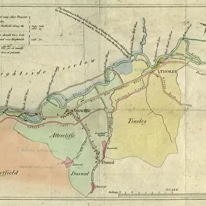
A plan of the intended canal from Sheffield to Tinsley by W. and J. Fairbank, 1815A plan of the intended canal from Sheffield to Tinsley by W. and J. Fairbank, 1815
Add to Basket
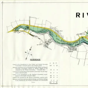
Map of the Rivelin Valley Estate, 1934Map of the Rivelin Valley Estate, 1934
Add to Basket
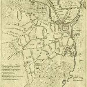
A correct plan of the town of Sheffield by William Fairbank, 1771A correct plan of the town of Sheffield by William Fairbank, 1771
Add to Basket
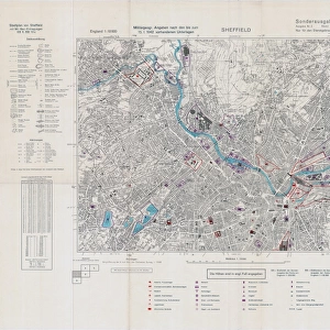
Ordnance Survey map of north Sheffield copied by the Germans, and marked with bombing targetsOrdnance Survey map of north Sheffield copied by the Germans, and marked with bombing targets
Add to Basket
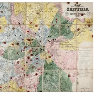
Map of the Town and Environs of Sheffield, 1864Map of the Town and Environs of Sheffield, 1864
Add to Basket
Plan of Sheffield, 1838Plan of Sheffield, 1838
Add to Basket
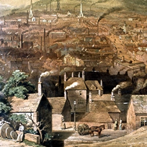
Sheffield from Park Hill, by William Ibbitt, 1855Sheffield from Park Hill, by William Ibbitt, 1855
Add to Basket
Plan of part of the townships of Sheffield and Nether Hallam, Sheffield, c. 1826Plan of part of the townships of Sheffield and Nether Hallam, Sheffield, c. 1826
Add to Basket
Paxton Pavilions, Sheffield Botanical Gardens (opened 1836)Paxton Pavilions, Sheffield Botanical Gardens (opened 1836)
Add to Basket
Joseph Gray and Sons, Surgical Instrument Makers, Truss Works and Star Works, Boston Street - trade card c. 1890Joseph Gray and Sons, Surgical Instrument Makers, Truss Works and Star Works, Boston Street - trade card c. 1890
Add to Basket
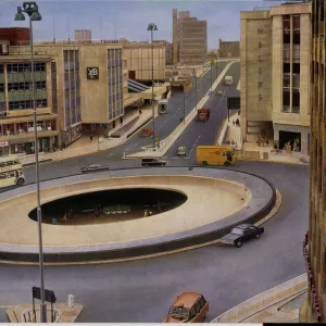
The Hole in The Road, Sheffield, Yorkshire, c. 1970The Hole in The Road, Sheffield, Yorkshire, c. 1970
Add to Basket
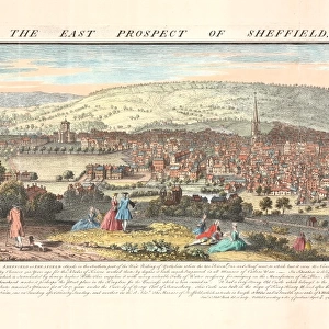
The east prospect of Sheffield in the County of York, 1745The east prospect of Sheffield in the County of York, 1745
Add to Basket

Gallery Wall Inspiration

A new map of Yorkshire, divided into its ridings and wapentakes, exhibiting its roads, rivers, parks, etc. John Cary, 1810
A Plan of the town of Sheffield in the county of York drawn by W. Fairbank 1797. Engraved by Thomas Harris
Plan of Hillsborough Park, 1897
A plan of the intended canal from Sheffield to Tinsley by W. and J. Fairbank, 1815
Map of the parish of Sheffield by W. Fairbank and Son (engraved by J. Cary), 1795
Bacon's large scale plan of Sheffield, c.1890s
North perspective view of the town of Sheffield, c. 1737
A map of the land belonging to Wortley Forges, 1746
Plan showing the connexion of canals and navigable rivers by the proposed north-eastern Canal, 19th cent
Part of the United Provinces with the marches of the different divisions of the Prussian army in September 1787
Map of Joseph Machens Farm at Wadsley Bridge, Sheffield, 1790
Plan of Freehold Property situate in High Street belonging to William Younge, 1847
Plan of the Highfield Estate as laid out for Building Purposes, 1873
Roads at Lodge Moor Hospital: A plan showing carriageways and ash paths, early 20th cent
Plan of the Turkish, Swimming and other baths, Convent Walk, Sheffield; for sale, 1890
Map of the Vicarage Croft in Sheffield a, 1756
Plan of the Meersbrook Bank Estate near Sheffield, 1876
Plan of three lots of freehold property belonging to the administratrix of the late Samuel Cocker, 1850
Proposed street improvement between Commercial Street and Market Street
Plan of H I Dixon esquires Stumperlow Estate as proposed to be laid out for building purposes, 1886
A Map of Norwood Hall Estate in the Township of Brightside Bierlow and some adjoining Lands of the Duke of Norfolk, 1832
King Edward VII Crippled Childrens Institution, Rivelin Valley Road - block plan, 1913
King Edward VII Crippled Childrens Institution, Rivelin Valley Road - central portion of ground plan, 1913
Plan of part of the town of Sheffield comprising the site of the present and proposed Corn, Hay and Cattle Markets also various improvements connected with the latter, 1827
City of Sheffield Markets, 1924
Plan of freehold and leasehold property situate at Sharrow Head and Heeley to be sold by auction, 1851
Office floor plan of new Castle Market, Haymarket / Waingate, 1958


© Copyright Media Storehouse, All Rights Reserved 2003 - 2024
Facebook     Pinterest     Card Payments     Reviews IO