Home > Sheffield City Archives
> Maps and Plans
> Maps of Yorkshire
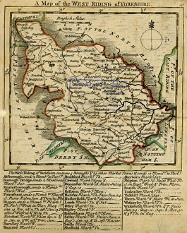
A Map of the West Riding of Yorkshire
Sheffield City Archives
Full Range of Prints and Gifts in Stock
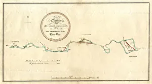
River Don, between Mexborough and Doncaster, 1803
Sheffield City Archives
Full Range of Prints and Gifts in Stock
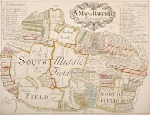
Harthill, Yorkshire, surveyed in 1720
Sheffield City Archives
Full Range of Prints and Gifts in Stock
Map of the County of York, by John Tuke, land surveyor, 1787
Sheffield City Archives
Full Range of Prints and Gifts in Stock
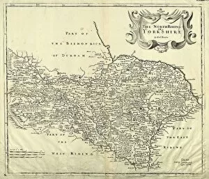
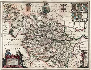
A Mapp (sic) of Yorkshire with its divisions and hundreds by Richard Blome, 1670
Sheffield City Archives
Full Range of Prints and Gifts in Stock
The West Riding of Yorkshire, 19th cent
Sheffield City Archives
Full Range of Prints and Gifts in Stock
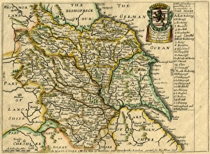
The West Riding of Yorkshire by Robert Morden, 1695
Sheffield City Archives
Full Range of Prints and Gifts in Stock
Map of the West Riding of Yorkshire, Richard Blome, 1673
Sheffield City Archives
Full Range of Prints and Gifts in Stock
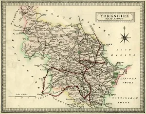
West Riding of Yorkshire by J and C Walker, 1836
Sheffield City Archives
Full Range of Prints and Gifts in Stock
An Accurate Map of the West Riding of Yorkshire, divided into its Wapontakes, 1785
Sheffield City Archives
Full Range of Prints and Gifts in Stock
Featured Maps of Yorkshire Image
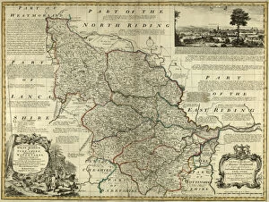
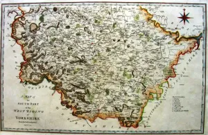
Southern part of the West Riding of Yorkshire, 1789
Sheffield City Archives
Full Range of Prints and Gifts in Stock
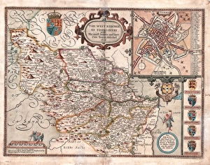
The West Ridinge of Yorkeshyre (Yorkshire) c. 1610
Sheffield City Archives
Full Range of Prints and Gifts in Stock
Maps of Yorkshire Gallery
Choose from 17 pictures in our Maps of Yorkshire collection for your Wall Art or Photo Gift. All professionally made for Quick Shipping. We are proud to offer this selection in partnership with Sheffield City Archives.
Categories
Abstract
Aerial
Africa
Animals
Architecture
Arts
Asia
Europe
Historic
Humour
Maps and Charts
Modern Art
North America
Oceania
People
Popular Themes
Posters
Religion
Science
Services
South America
Special Days
Sport
Transportation
All Images
Collections
Sheffield City Archives
> Maps and Plans
>> Sheffield OS maps
>> Maps of Bradfield
>> Maps of Derbyshire
>> Maps of Sheffield
>> Maps of Stannington
>> Maps of Yorkshire

A Map of the West Riding of Yorkshire
Sheffield City Archives
Full Range of Prints and Gifts in Stock

River Don, between Mexborough and Doncaster, 1803
Sheffield City Archives
Full Range of Prints and Gifts in Stock

Harthill, Yorkshire, surveyed in 1720
Sheffield City Archives
Full Range of Prints and Gifts in Stock

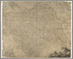
Map of the County of York, by John Tuke, land surveyor, 1787
Sheffield City Archives
Full Range of Prints and Gifts in Stock

A Mapp (sic) of Yorkshire with its divisions and hundreds by Richard Blome, 1670
Sheffield City Archives
Full Range of Prints and Gifts in Stock

The West Riding of Yorkshire, 19th cent
Sheffield City Archives
Full Range of Prints and Gifts in Stock

The West Riding of Yorkshire by Robert Morden, 1695
Sheffield City Archives
Full Range of Prints and Gifts in Stock

Map of the West Riding of Yorkshire, Richard Blome, 1673
Sheffield City Archives
Full Range of Prints and Gifts in Stock

West Riding of Yorkshire by J and C Walker, 1836
Sheffield City Archives
Full Range of Prints and Gifts in Stock

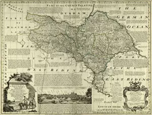
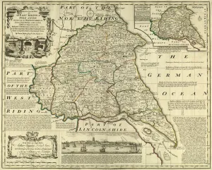
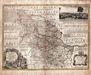
An Accurate Map of the West Riding of Yorkshire, divided into its Wapontakes, 1785
Sheffield City Archives
Full Range of Prints and Gifts in Stock

An Accurate Map of the West Riding of Yorkshire, divided into its Wapontakes, 1785
Drawn from Surveys, with various additional Improvements: Illustrated with Historical Extracts relative to its Natural Produce, Mines, Minerals, Manufactures, Trade and the present state of its Principal Towns.
By Emanuel Bowen.
Scale 20 miles : 4.8 inches.
Size 71 x 53 cm.
Original at Sheffield Libraries: y09345
© Sheffield City Council

Southern part of the West Riding of Yorkshire, 1789
Sheffield City Archives
Full Range of Prints and Gifts in Stock

The West Ridinge of Yorkeshyre (Yorkshire) c. 1610
Sheffield City Archives
Full Range of Prints and Gifts in Stock