Home > Europe > United Kingdom > Heritage Sites > Maritime Greenwich
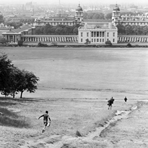
Chart of Van Diemens Land, sheet VI, 1814 (engraving)
")
![]()
Wall Art and Photo Gifts from Fine Art Finder
Chart of Van Diemens Land, sheet VI, 1814 (engraving)
7339480 Chart of Van Diemens Land, sheet VI, 1814 (engraving) by Flinders, Matthew (1774-1814); 67x48 cm; National Maritime Museum, London, UK; (add.info.: Creator: Matthew Flinders
Scale:1:1 000 000. Admiralty chart no. 1079. A chart of the Australian south coast. Inset, Sullivan Cove, (Hobart Town) by Mr I. Welsh, scale: 1:12 000 and inset, North Bay and Derwent River, scale: 1:35 000.); © National Maritime Museum, Greenwich, London
Media ID 38509940
© © National Maritime Museum, Greenwich, London / Bridgeman Images
FEATURES IN THESE COLLECTIONS
> Europe
> United Kingdom
> Heritage Sites
> Maritime Greenwich
> Fine Art Finder
> Artists
> Matthew Flinders
> Fine Art Finder
> Artists
> Unknown Artist
EDITORS COMMENTS
This engraving, Chart of Van Diemens Land, sheet VI, 1814 by Matthew Flinders, offers a glimpse into the intricate cartography of the Australian south coast during the early 19th century. The detailed depiction showcases Admiralty chart no. 1079 at a scale of 1:1,000,000, providing valuable insight into the geographical features of this region.
The inset illustrations of Sullivan Cove (Hobart Town) and North Bay and Derwent River offer additional layers of information at varying scales - 1:12,000 and 1:35,000 respectively. These insets provide a closer look at specific areas within Van Diemens Land (now known as Tasmania), enhancing our understanding of the landscape and topography.
Matthew Flinders' meticulous craftsmanship is evident in every line and detail of this engraving, highlighting his expertise as a skilled cartographer. The black-and-white aesthetic adds to the historical charm of this piece, transporting viewers back to a time when exploration and discovery were paramount.
As we admire this piece from the National Maritime Museum in London, we are reminded of the importance of maps in shaping our understanding of the world around us. This print serves as both a work of art and a valuable historical document that continues to fascinate audiences with its beauty and precision.
MADE IN AUSTRALIA
Safe Shipping with 30 Day Money Back Guarantee
FREE PERSONALISATION*
We are proud to offer a range of customisation features including Personalised Captions, Color Filters and Picture Zoom Tools
SECURE PAYMENTS
We happily accept a wide range of payment options so you can pay for the things you need in the way that is most convenient for you
* Options may vary by product and licensing agreement. Zoomed Pictures can be adjusted in the Cart.