Home > Europe > United Kingdom > Heritage Sites > Maritime Greenwich
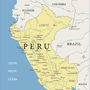
Sechura, 1685 (bound sheet)
")
![]()
Wall Art and Photo Gifts from Fine Art Finder
Sechura, 1685 (bound sheet)
7339737 Sechura, 1685 (bound sheet) by Hack, William (17th Century); 40x50 cm; National Maritime Museum, London, UK; (add.info.: Creator: William Hack
South America, the Pacific Coast and Peru. Bound in 'A Wagoner of the South Sea describing the sea coast from Acapulco to Albemarle isle', an English translation of a Spanish derrotero captured from the Spanish ship 'Rosario' by Captain Bartholomew Sharpe in 1680. Hack made multiple copies of this atlas. This one was presented to James II. It shows Sharpe's track, depicts the silver mine at Potosi, has a decorated title cartouche and scale.); © National Maritime Museum, Greenwich, London
Media ID 38515818
© © National Maritime Museum, Greenwich, London / Bridgeman Images
Coast Line Latin America Peru Peru Peruvian Peruvian Peruvian Culture Peruvians Latine America
FEATURES IN THESE COLLECTIONS
> Europe
> United Kingdom
> Heritage Sites
> Maritime Greenwich
> Fine Art Finder
> Artists
> William Hack
> South America
> Peru
> Related Images
EDITORS COMMENTS
This stunning print of Sechura, 1685 captures the intricate cartography and vibrant colors of a bound sheet created by William Hack in the 17th century. The detailed map showcases South America, specifically the Pacific Coast and Peru, providing a glimpse into the historical maritime routes of that era.
Bound within 'A Wagoner of the South Sea', an English translation captured from a Spanish derrotero by Captain Bartholomew Sharpe in 1680, this particular atlas was presented to James II. It features Sharpe's track, illustrations of the silver mine at Potosi, and a beautifully decorated title cartouche with scale measurements.
The artwork not only serves as a valuable historical document but also highlights Hack's skillful craftsmanship in creating maps that were both informative and visually appealing. The coastal scenes depicted on the sheet offer viewers a sense of adventure and exploration along with insights into Peruvian culture during that time period.
Overall, this print is a testament to the artistry and significance of early cartography, showcasing how maps can be more than just navigational tools but also works of art that capture the essence of different regions and cultures.
MADE IN AUSTRALIA
Safe Shipping with 30 Day Money Back Guarantee
FREE PERSONALISATION*
We are proud to offer a range of customisation features including Personalised Captions, Color Filters and Picture Zoom Tools
SECURE PAYMENTS
We happily accept a wide range of payment options so you can pay for the things you need in the way that is most convenient for you
* Options may vary by product and licensing agreement. Zoomed Pictures can be adjusted in the Cart.