Home > Maps and Charts > Early Maps
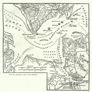
Map of Virginia, 17th Century After Captain John Smith
![]()

Wall Art and Photo Gifts from Fine Art Storehouse
Map of Virginia, 17th Century After Captain John Smith
Vintage engraving of a Map of Virginia, 17th Century After Captain John Smith
Unleash your creativity and transform your space into a visual masterpiece!
duncan1890
Media ID 18106645
© of Duncan P Walker
FEATURES IN THESE COLLECTIONS
> Fine Art Storehouse
> Map
> Historical Maps
> Maps and Charts
> Early Maps
EDITORS COMMENTS
This vintage engraving of a 17th-century map of Virginia, after Captain John Smith, takes us on a captivating journey back in time. As we gaze upon this intricate print from the Fine Art Storehouse collection by duncan1890, we are transported to an era when exploration and discovery shaped the world. The map itself is a testament to the skill and artistry of cartographers during that period. Every detail meticulously etched onto paper tells a story of adventure and conquest. It showcases the vastness of Virginia's landscape with its rolling hills, meandering rivers, and dense forests waiting to be explored. Captain John Smith's influence is evident as his name graces this historical piece. A pioneer in mapping these uncharted territories, he played a crucial role in shaping our understanding of early America. This print serves as both an homage to his contributions and a window into the past. As we study each line and symbol on this aged parchment, it sparks curiosity about what life was like for those who first set foot on these shores centuries ago. It invites us to imagine their struggles and triumphs as they navigated through unfamiliar terrain. In today's fast-paced world, this vintage engraving reminds us to appreciate history's rich tapestry while also inspiring new adventures beyond our comfort zones. Whether displayed in homes or offices, it serves as a reminder that every corner of our planet holds stories worth exploring – just like the remarkable tale behind this Map of Virginia from the 17th century.
MADE IN AUSTRALIA
Safe Shipping with 30 Day Money Back Guarantee
FREE PERSONALISATION*
We are proud to offer a range of customisation features including Personalised Captions, Color Filters and Picture Zoom Tools
SECURE PAYMENTS
We happily accept a wide range of payment options so you can pay for the things you need in the way that is most convenient for you
* Options may vary by product and licensing agreement. Zoomed Pictures can be adjusted in the Cart.


