
1872 Engraving Collection
"Discovering the Past: Unveiling an 1872 Engraving" Step into history with this captivating 1872 engraving, a window to the past that offers a glimpse into bygone eras


All Professionally Made to Order for Quick Shipping
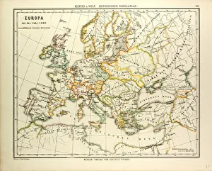
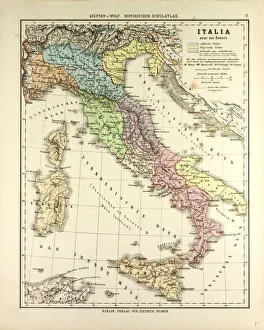
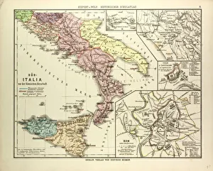
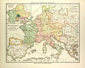
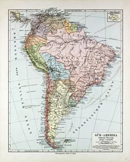
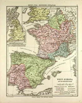
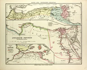
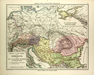
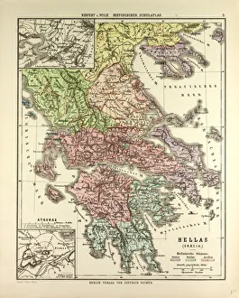
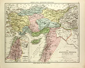
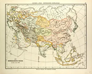
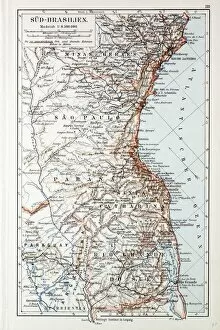
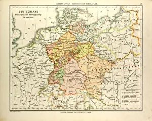
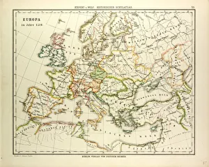
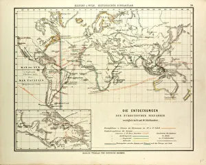
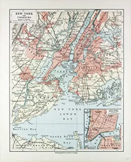
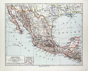
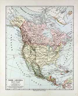
"Discovering the Past: Unveiling an 1872 Engraving" Step into history with this captivating 1872 engraving, a window to the past that offers a glimpse into bygone eras. With a source size of 5021 x 3821, this remarkable piece transports us back in time, allowing us to explore various maps and regions from different periods. Among these intriguing hints lies "981_05_AC210214_14841, " an enigmatic code that piques our curiosity. What secrets does it hold? Perhaps it is an encoded message waiting to be deciphered or simply a unique identifier for this extraordinary engraving. As we delve deeper, we encounter fascinating maps such as "Map of Europe in 1400. " This depiction showcases the continent during the late Middle Ages when kingdoms rose and fell, shaping Europe's complex tapestry of cultures and civilizations. Moving across continents, another map catches our attention – "Map of South America, 1899. " It unveils the vastness of this enchanting landmass before modern borders were drawn. Immerse yourself in its lush rainforests, mighty rivers, and ancient civilizations like never before. Continuing our journey through time and space brings us face-to-face with "Map of Indonesia, 1899. " Explore the archipelago's rich diversity as you traverse its countless islands adorned with vibrant cultures and breathtaking landscapes. The allure intensifies as we stumble upon two contrasting maps – "Map of Italy during the Roman Empire" and "Map of Southern Italy before the Roman Empire. " Witness how boundaries shifted over centuries while marveling at Rome's grandeur or exploring pre-Roman settlements nestled amidst picturesque Italian landscapes. Our exploration takes us further westward to discover what transpired after Charlemagne's empire dissolved. The revealing "Map of South and West Europe after 843 A. D" sheds light on medieval power struggles that shaped the destiny of nations.