Fraud Blocker Skip to main content

Alma Road Collection

Alma Road, a name that echoes through various corners of the UK

Background imageAlma Road Collection: Wandsworth SW18 1 Map

Wandsworth SW18 1 Map
Postcode Sector Map of Wandsworth SW18 1

Background imageAlma Road Collection: Plymouth PL3 4 Map

Plymouth PL3 4 Map
Postcode Sector Map of Plymouth PL3 4

Background imageAlma Road Collection: Lancaster LA1 4 Map

Lancaster LA1 4 Map
Postcode Sector Map of Lancaster LA1 4

Background imageAlma Road Collection: Bolton BL5 3 Map

Bolton BL5 3 Map
Postcode Sector Map of Bolton BL5 3

Background imageAlma Road Collection: West Lancashire WN8 0 Map

West Lancashire WN8 0 Map
Postcode Sector Map of West Lancashire WN8 0

Background imageAlma Road Collection: Ealing UB1 1 Map

Ealing UB1 1 Map
Postcode Sector Map of Ealing UB1 1

Background imageAlma Road Collection: Sutton SM5 2 Map

Sutton SM5 2 Map
Postcode Sector Map of Sutton SM5 2

Background imageAlma Road Collection: Southampton SO14 6 Map

Southampton SO14 6 Map
Postcode Sector Map of Southampton SO14 6

Background imageAlma Road Collection: Derbyshire Dales SK17 8 Map

Derbyshire Dales SK17 8 Map
Postcode Sector Map of Derbyshire Dales SK17 8

Background imageAlma Road Collection: Kennet SN8 2 Map

Kennet SN8 2 Map
Postcode Sector Map of Kennet SN8 2

Background imageAlma Road Collection: Rotherham S60 2 Map

Rotherham S60 2 Map
Postcode Sector Map of Rotherham S60 2

Background imageAlma Road Collection: Mid Sussex RH16 2 Map

Mid Sussex RH16 2 Map
Postcode Sector Map of Mid Sussex RH16 2

Background imageAlma Road Collection: Cornwall TR1 3 Map

Cornwall TR1 3 Map
Postcode Sector Map of Cornwall TR1 3

Background imageAlma Road Collection: Torbay TQ5 8 Map

Torbay TQ5 8 Map
Postcode Sector Map of Torbay TQ5 8

Background imageAlma Road Collection: Reigate and Banstead RH2 0 Map

Reigate and Banstead RH2 0 Map
Postcode Sector Map of Reigate and Banstead RH2 0

Background imageAlma Road Collection: Chesterfield S42 5 Map

Chesterfield S42 5 Map
Postcode Sector Map of Chesterfield S42 5

Background imageAlma Road Collection: Sheffield S35 4 Map

Sheffield S35 4 Map
Postcode Sector Map of Sheffield S35 4

Background imageAlma Road Collection: Bracknell Forest SL4 6 Map

Bracknell Forest SL4 6 Map
Postcode Sector Map of Bracknell Forest SL4 6

Background imageAlma Road Collection: Bracknell Forest SL4 3 Map

Bracknell Forest SL4 3 Map
Postcode Sector Map of Bracknell Forest SL4 3

Background imageAlma Road Collection: Test Valley SO51 8 Map

Test Valley SO51 8 Map
Postcode Sector Map of Test Valley SO51 8

Background imageAlma Road Collection: Castle Point SS7 2 Map

Castle Point SS7 2 Map
Postcode Sector Map of Castle Point SS7 2

Background imageAlma Road Collection: Highland PH33 6 Map

Highland PH33 6 Map
Postcode Sector Map of Highland PH33 6

Background imageAlma Road Collection: Stockport SK4 4 Map

Stockport SK4 4 Map
Postcode Sector Map of Stockport SK4 4

Background imageAlma Road Collection: Stockport SK7 6 Map

Stockport SK7 6 Map
Postcode Sector Map of Stockport SK7 6

Background imageAlma Road Collection: Cherwell OX16 4 Map

Cherwell OX16 4 Map
Postcode Sector Map of Cherwell OX16 4

Background imageAlma Road Collection: Peterborough PE1 3 Map

Peterborough PE1 3 Map
Postcode Sector Map of Peterborough PE1 3

Background imageAlma Road Collection: Gedling NG3 2 Map

Gedling NG3 2 Map
Postcode Sector Map of Gedling NG3 2

Background imageAlma Road Collection: Suffolk NR32 2 Map

Suffolk NR32 2 Map
Postcode Sector Map of Suffolk NR32 2

Background imageAlma Road Collection: West Norfolk PE31 7 Map

West Norfolk PE31 7 Map
Postcode Sector Map of West Norfolk PE31 7

Background imageAlma Road Collection: Sefton PR8 4 Map

Sefton PR8 4 Map
Postcode Sector Map of Sefton PR8 4

Background imageAlma Road Collection: Isle of Wight PO38 1 Map

Isle of Wight PO38 1 Map
Postcode Sector Map of Isle of Wight PO38 1

Background imageAlma Road Collection: Norfolk NR30 3 Map

Norfolk NR30 3 Map
Postcode Sector Map of Norfolk NR30 3

Background imageAlma Road Collection: Calderdale OL14 6 Map

Calderdale OL14 6 Map
Postcode Sector Map of Calderdale OL14 6

Background imageAlma Road Collection: Manchester M19 2 Map

Manchester M19 2 Map
Postcode Sector Map of Manchester M19 2

Background imageAlma Road Collection: Haringey N10 2 Map

Haringey N10 2 Map
Postcode Sector Map of Haringey N10 2

Background imageAlma Road Collection: Leeds LS6 2 Map

Leeds LS6 2 Map
Postcode Sector Map of Leeds LS6 2

Background imageAlma Road Collection: Swale ME12 2 Map

Swale ME12 2 Map
Postcode Sector Map of Swale ME12 2

Background imageAlma Road Collection: Leicester LE10 1 Map

Leicester LE10 1 Map
Postcode Sector Map of Leicester LE10 1

Background imageAlma Road Collection: Tonbridge and Malling ME20 7 Map

Tonbridge and Malling ME20 7 Map
Postcode Sector Map of Tonbridge and Malling ME20 7

Background imageAlma Road Collection: Tonbridge and Malling ME19 6 Map

Tonbridge and Malling ME19 6 Map
Postcode Sector Map of Tonbridge and Malling ME19 6

Background imageAlma Road Collection: Broxtowe NG16 6 Map

Broxtowe NG16 6 Map
Postcode Sector Map of Broxtowe NG16 6

Background imageAlma Road Collection: Trafford M33 4 Map

Trafford M33 4 Map
Postcode Sector Map of Trafford M33 4

Background imageAlma Road Collection: Denbighshire LL20 7 Map

Denbighshire LL20 7 Map
Postcode Sector Map of Denbighshire LL20 7

Background imageAlma Road Collection: Elmbridge KT7 0 Map

Elmbridge KT7 0 Map
Postcode Sector Map of Elmbridge KT7 0

Background imageAlma Road Collection: Liverpool L17 6 Map

Liverpool L17 6 Map
Postcode Sector Map of Liverpool L17 6

Background imageAlma Road Collection: North Ayrshire KA27 8 Map

North Ayrshire KA27 8 Map
Postcode Sector Map of North Ayrshire KA27 8

Background imageAlma Road Collection: Chiltern HP5 3 Map

Chiltern HP5 3 Map
Postcode Sector Map of Chiltern HP5 3

Background imageAlma Road Collection: Dacorum HP4 3 Map

Dacorum HP4 3 Map
Postcode Sector Map of Dacorum HP4 3


All Professionally Made to Order for Quick Shipping

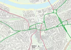
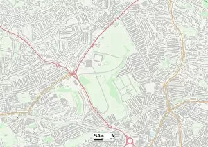
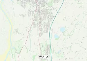
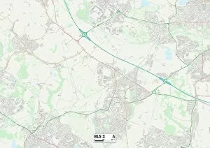
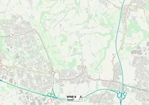
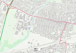
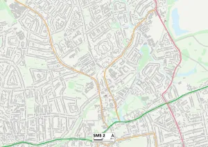
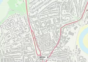
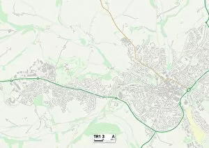
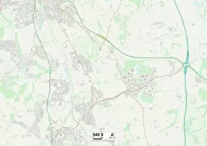
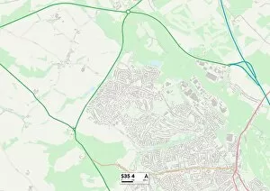
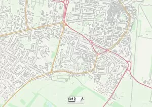
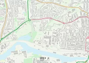
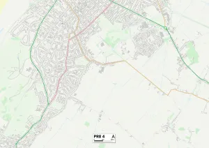
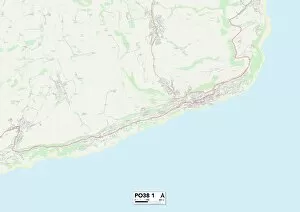
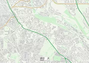
Alma Road, a name that echoes through various corners of the UK. From Wandsworth in SW18 to Lancaster in LA1, Bolton in BL5 to West Lancashire in WN8 they can be found weaving its way through different towns and cities. In Ealing's UB1, Alma Road stands as a testament to the rich history and vibrant community that surrounds it. Meanwhile, Sutton's SM5 embraces this road with open arms, offering a warm welcome to all who pass by. Venturing further south brings us to Southampton's SO14 where Alma Road adds its charm to an already picturesque cityscape. And let's not forget Derbyshire Dales' SK17 where nature intertwines with urban living along this very road. Traveling eastward leads us to Kennet's SN8 where Alma Road becomes part of the tapestry of this idyllic countryside. Rotherham's S60 showcases how even amidst bustling streets, Alma Road retains its unique character. Mid Sussex RH16 is home to yet another stretch - a place where tranquility meets modernity. Lastly, Cornwall TR1 welcomes visitors with open arms as they journey down this storied path. No matter which location you find yourself on an alma road adventure; one thing remains constant - the sense of connection it provides across these diverse landscapes. So next time you're exploring any corner of the UK map mentioned above or beyond keep an eye out for dear old alma road.