Fraud Blocker Skip to main content

Altimetry Collection

Altimetry is the science of measuring altitude or elevation above sea level using various methods such as satellite technology, radar systems, and barometric pressure

Background imageAltimetry Collection: Earth, topographic and bathymetric map

Earth, topographic and bathymetric map. This whole Earth map is centred on the Greenwich meridian, at zero degrees latitude

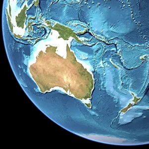
Background imageAltimetry Collection: Australia, topographic map

Australia, topographic map. Highlands and lowlands of the continents are shown as ridges and flat areas. Southeast Asia (top left), New Zealand (lower right) and Antarctica (bottom right)

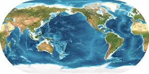
Background imageAltimetry Collection: Earth, topographic and bathymetric map

Earth, topographic and bathymetric map. This map is centred on the Pacific Ocean, at longitude 140 degrees west. Highlands and lowlands of the continents are shown as ridges and flat areas

Background imageAltimetry Collection: Africa, topographic map

Africa, topographic map. Highlands and lowlands of the continents are shown as ridges and flat areas. Southern Europe and the Middle East are also seen at top and upper right respectively

Background imageAltimetry Collection: Pioneers of Italian aviation: The crossing of the Alps. The postcard of the area with

Pioneers of Italian aviation: The crossing of the Alps. The postcard of the area with the altimetry of the route
5313765 Pioneers of Italian aviation: The crossing of the Alps. The postcard of the area with the altimetry of the route.; SeM Studio/UIG.

Background imageAltimetry Collection: North America, topographic map

North America, topographic map. Highlands and lowlands of the continents are also shown, as ridges and flat areas. South America (bottom right) and the Arctic (top) are also seen

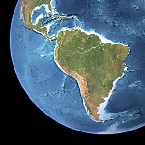
Background imageAltimetry Collection: South America, topographic map

South America, topographic map. Highlands and lowlands of the continents are also shown, as ridges and flat areas. North America and the Caribbean (top left) and Antarctica (bottom right)

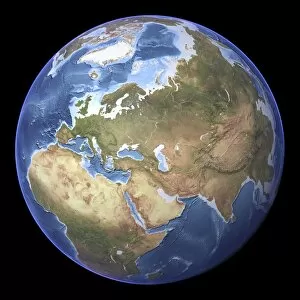
Background imageAltimetry Collection: Eurasia, topographic map

Eurasia, topographic map. This map is centred on Russia, with Europe at centre left and East Asia at right. The North Pole (upper left), with Greenland shown in white

Background imageAltimetry Collection: Earth topography, artwork C017 / 7228

Earth topography, artwork C017 / 7228
Earth topography. Computer artwork based on satellite data, showing the topography of the Earth (altimetry and bathymetry)

Background imageAltimetry Collection: Mars topography, artwork C017 / 7332

Mars topography, artwork C017 / 7332
Mars topography. Computer artwork based on satellite data, showing the topography of the planet Mars. The topography of Mars is clearly divided in two regions

Background imageAltimetry Collection: Earth, topographic and bathymetric map

Earth, topographic and bathymetric map. Computer generated image showing the varying heights and depths of the Worlds landmasses, oceans and seas


All Professionally Made to Order for Quick Shipping

Altimetry is the science of measuring altitude or elevation above sea level using various methods such as satellite technology, radar systems, and barometric pressure. This crucial field of study plays a vital role in understanding Earth's topography, monitoring changes in sea levels, and predicting weather patterns. By analyzing data collected from altimetry measurements, scientists can gain valuable insights into climate change, ocean currents, and natural disasters like tsunamis. The information gathered through altimetry helps us better comprehend our planet's dynamic processes and make informed decisions to protect our environment for future generations. So next time you look up at the sky or gaze out at the vast expanse of the ocean, remember that altimetry is working behind the scenes to provide us with a deeper understanding of our world.