
Antique Map Collection
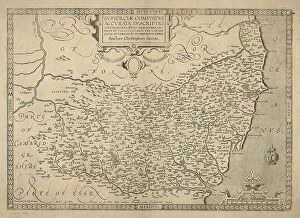
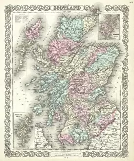
"Journey through Time: Exploring the Rich History of Antique Maps" Step back in time to 1768 with James Craig's Map of New Town, Edinburgh, Scotland


All Professionally Made to Order for Quick Shipping
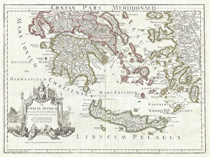
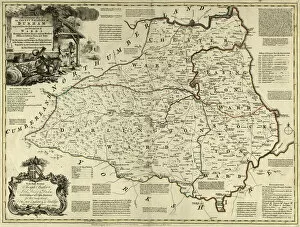
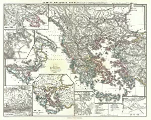
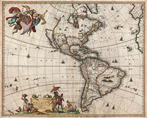
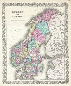
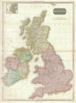
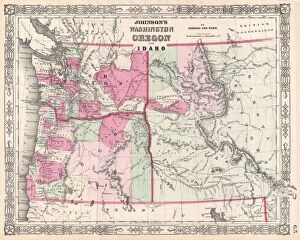
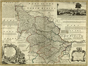
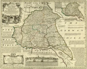
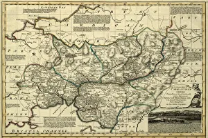
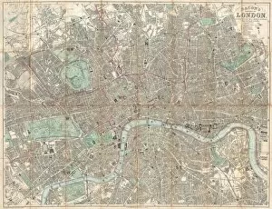
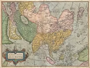
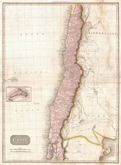
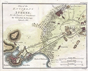
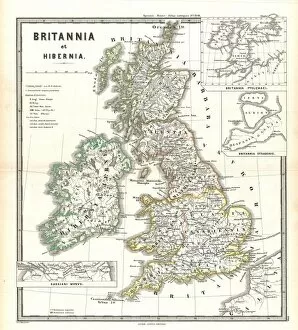
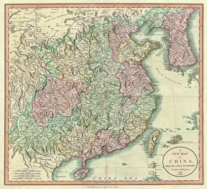
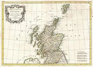
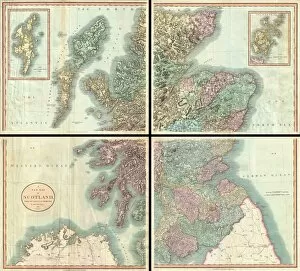
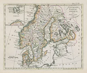
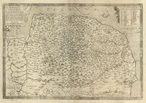
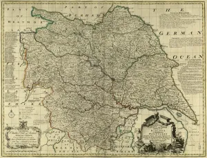
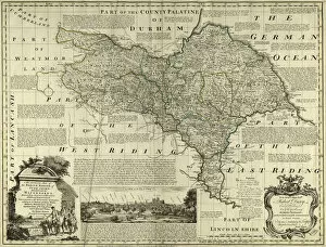
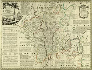
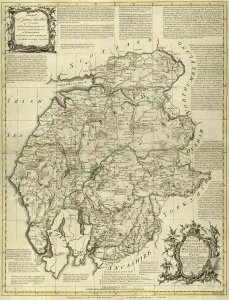
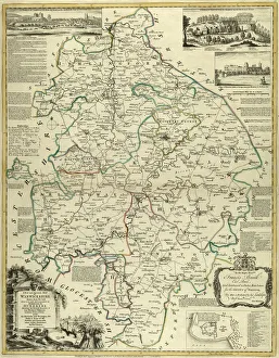
"Journey through Time: Exploring the Rich History of Antique Maps" Step back in time to 1768 with James Craig's Map of New Town, Edinburgh, Scotland. This intricate map offers a glimpse into the First Plan of New Town and showcases its topography. Delve into ancient Greece with the 1794 Delisle Map, which beautifully depicts Southern Ancient Greece, Greek Isles, and Crete. Discover their captivating topography as you explore these historic lands. Travel to County Durham circa 1777 with this exquisite County Map that provides a detailed view of the region's geography. Immerse yourself in its cartographic beauty and uncover hidden treasures. Embark on an astronomical adventure with an 1886 Telescopic View and Map of the Moon. Marvel at its intricately mapped topography while exploring the wonders of lunar cartography. Uncover North and South America's past through Visscher's remarkable 1658 map showcasing their topography, cartography, and geography. Traverse these continents' rich history as seen through Visscher's eyes. Dive into Scandinavia's enchanting landscapes with Colton's stunning 1855 map featuring Norway, Sweden, Finland - a true masterpiece capturing their unique topographical features. Explore ancient Greece before the Peloponnesian War using Spruner's insightful 1865 map depicting Macedonia and Thrace’s topography in great detail – a journey back to classical times. Crutchley Pocket Map or Plan takes us to London in England during1848; experience this bustling city like never before. With meticulous attention to detail regarding its topographical features – get lost amidst London’s charm. Travel across British Isles courtesy Pinkerton’s extraordinary1818 map encompassing England, Scotland & Ireland. John Pinkerton brings alive these lands’ geographical essence through his exceptional craftsmanship.