
Black Sea Collection
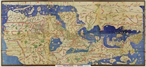
"The Enigmatic Black Sea: A Tapestry of History, Beauty, and Adventure" Journey back in time to the year 1154 with Al-Idrisi's world map


All Professionally Made to Order for Quick Shipping
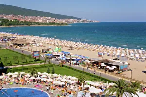
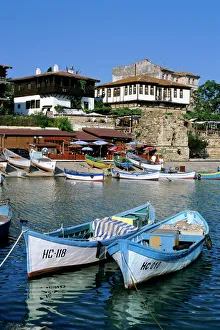
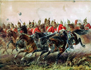
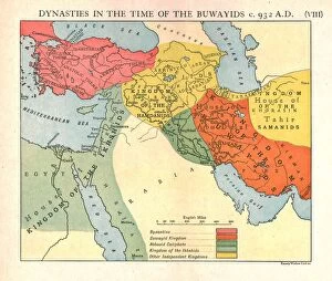
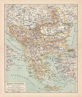
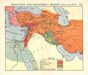
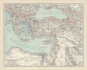
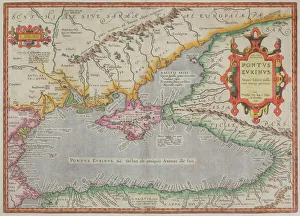
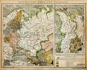
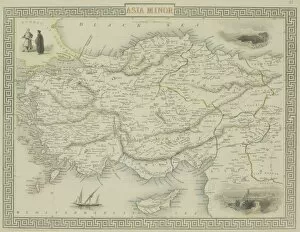
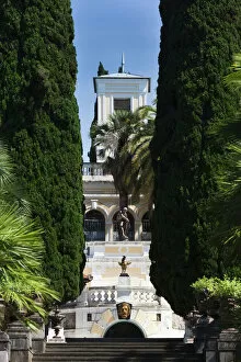
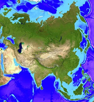
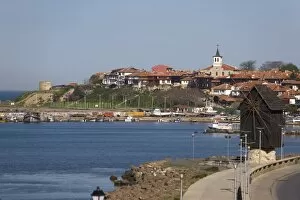
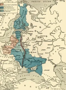
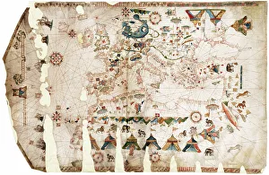
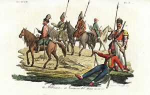
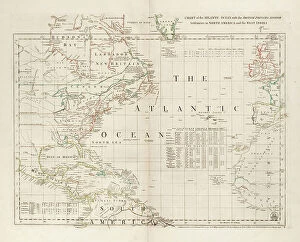
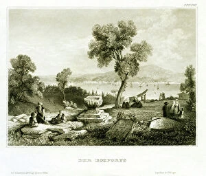
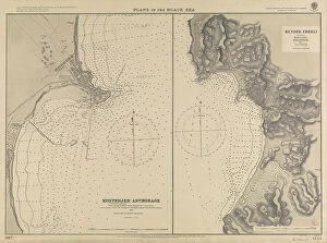
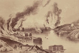
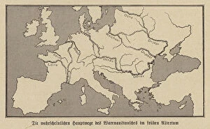
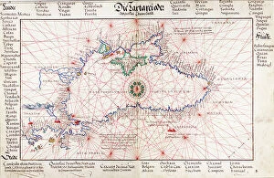
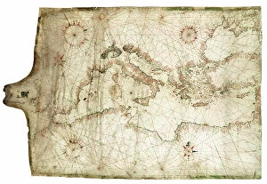
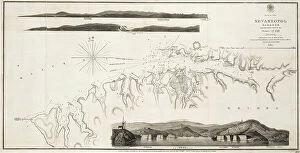
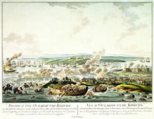
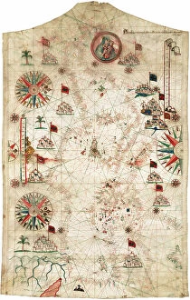
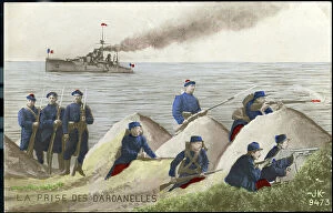
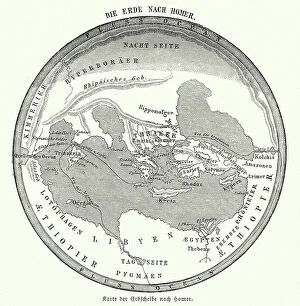
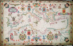
"The Enigmatic Black Sea: A Tapestry of History, Beauty, and Adventure" Journey back in time to the year 1154 with Al-Idrisi's world map, where the vast expanse of the Black Sea first graced cartographic records. Fast forward to a sunny beach scene along Bulgaria's picturesque Black Sea coast – an idyllic paradise known as Sunny Beach. Here, golden sands meet azure waters under a radiant sun. As you explore Slanchev Bryag (Sunny Beach), nestled between Varna and Burgas, you'll discover a vibrant tapestry of European charm. The old town and fishing harbor of Nesebur (Nessebar) beckon with their timeless allure along this captivating coastline. Delve deeper into history as dynasties rise and fall during the era of Buwayids around 932 A. D. , depicted by Emery Walker Ltd. 's evocative creation. Witness courage amidst chaos through Hayes' artistic rendition capturing "The Charge of the Light Brigade" during the Battle of Balaclava in 1854. A topographic map from 1897 unveils Europe's intricate landscape, showcasing how the Balkan Peninsula stood at that momentous time in 1878 through a lithograph. Byzantine empires clash with Crusaders against Seljuks circa 1130 A. D. , immortalized once again by Emery Walker Ltd. 's artistry. Marvel at an Ottoman Empire brought to life through another lithograph published in 1878 – its grandeur stretching across lands surrounding the enigmatic Black Sea. And finally, lose yourself within an antique map depicting not only this sea but also its neighboring territories throughout centuries past. The Black Sea is more than just shimmering waters; it is a testament to humanity's enduring spirit and resilience throughout ages marked by conquests, trade routes, cultural exchanges, and breathtaking landscapes that continue to captivate explorers to this day.