Fraud Blocker Skip to main content

Borough Road Collection

"Borough Road: A Journey Through Time and Space" Embark on a captivating journey through various locations, each bearing the name "Borough Road

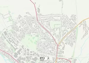
Background imageBorough Road Collection: Tamworth B79 8 Map

Tamworth B79 8 Map
Postcode Sector Map of Tamworth B79 8

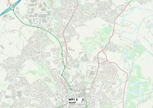
Background imageBorough Road Collection: Wakefield WF1 3 Map

Wakefield WF1 3 Map
Postcode Sector Map of Wakefield WF1 3

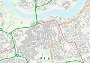
Background imageBorough Road Collection: Sunderland SR1 1 Map

Sunderland SR1 1 Map
Postcode Sector Map of Sunderland SR1 1

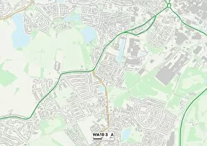
Background imageBorough Road Collection: St. Helens WA10 3 Map

St. Helens WA10 3 Map
Postcode Sector Map of St. Helens WA10 3

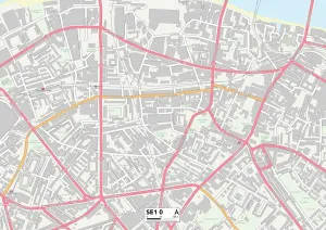
Background imageBorough Road Collection: Southwark SE1 0 Map

Southwark SE1 0 Map
Postcode Sector Map of Southwark SE1 0

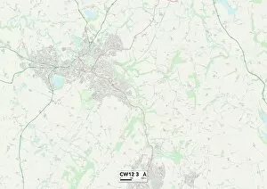
Background imageBorough Road Collection: Cheshire East CW12 3 Map

Cheshire East CW12 3 Map
Postcode Sector Map of Cheshire East CW12 3

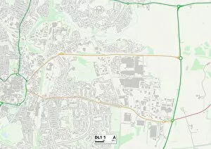
Background imageBorough Road Collection: Darlington DL1 1 Map

Darlington DL1 1 Map
Postcode Sector Map of Darlington DL1 1

Background imageBorough Road Collection: Blackburn with Darwen BB3 2 Map

Blackburn with Darwen BB3 2 Map
Postcode Sector Map of Blackburn with Darwen BB3 2

Background imageBorough Road Collection: London in 1888: From London Bridge through the Borough, to Newington Butts and St Georges Fields

London in 1888: From London Bridge through the Borough, to Newington Butts and St Georges Fields (engraving)
7188746 London in 1888: From London Bridge through the Borough, to Newington Butts and St Georges Fields (engraving) by English School

Background imageBorough Road Collection: Muswell Estate, London, 1907 (b / w photo)

Muswell Estate, London, 1907 (b / w photo)
1812645 Muswell Estate, London, 1907 (b/w photo) by English Photographer, (20th century); London Metropolitan Archives, City of London; (add.info.: Muswell Estate: Murphy House, Borough Road)

Background imageBorough Road Collection: Borough Road Estate: residential tenements, London, 1901 (b / w photo)

Borough Road Estate: residential tenements, London, 1901 (b / w photo)
1812530 Borough Road Estate: residential tenements, London, 1901 (b/w photo) by English Photographer, (20th century); London Metropolitan Archives, City of London; (add.info.: Southwark)

Background imageBorough Road Collection: British and Foreign Schools, Borough Road (engraving)

British and Foreign Schools, Borough Road (engraving)
1617067 British and Foreign Schools, Borough Road (engraving) by English School, (19th century); Private Collection; (add.info.: British and Foreign Schools, Borough Road)

Background imageBorough Road Collection: East Riding of Yorkshire YO16 4 Map

East Riding of Yorkshire YO16 4 Map
Postcode Sector Map of East Riding of Yorkshire YO16 4

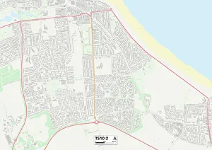
Background imageBorough Road Collection: Redcar & Cleveland TS10 2 Map

Redcar & Cleveland TS10 2 Map
Postcode Sector Map of Redcar & Cleveland TS10 2

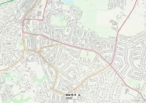
Background imageBorough Road Collection: Trafford WA15 9 Map

Trafford WA15 9 Map
Postcode Sector Map of Trafford WA15 9

Background imageBorough Road Collection: Torbay TQ1 4 Map

Torbay TQ1 4 Map
Postcode Sector Map of Torbay TQ1 4

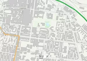
Background imageBorough Road Collection: Middlesbrough TS1 2 Map

Middlesbrough TS1 2 Map
Postcode Sector Map of Middlesbrough TS1 2

Background imageBorough Road Collection: Isles of Scilly TR24 0 Map

Isles of Scilly TR24 0 Map
Postcode Sector Map of Isles of Scilly TR24 0

Background imageBorough Road Collection: Swansea SA4 6 Map

Swansea SA4 6 Map
Postcode Sector Map of Swansea SA4 6

Background imageBorough Road Collection: Bromley TN16 2 Map

Bromley TN16 2 Map
Postcode Sector Map of Bromley TN16 2

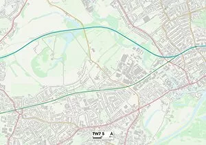
Background imageBorough Road Collection: Hounslow TW7 5 Map

Hounslow TW7 5 Map
Postcode Sector Map of Hounslow TW7 5

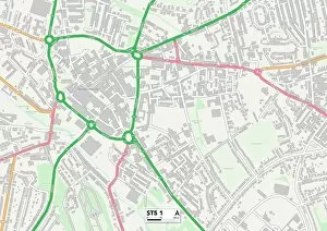
Background imageBorough Road Collection: Staffordshire ST5 1 Map

Staffordshire ST5 1 Map
Postcode Sector Map of Staffordshire ST5 1

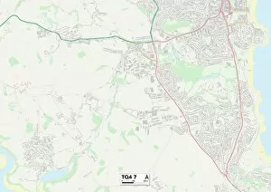
Background imageBorough Road Collection: Torbay TQ4 7 Map

Torbay TQ4 7 Map
Postcode Sector Map of Torbay TQ4 7

Background imageBorough Road Collection: Sheffield S6 2 Map

Sheffield S6 2 Map
Postcode Sector Map of Sheffield S6 2

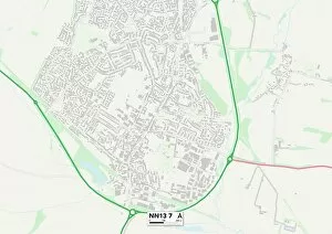
Background imageBorough Road Collection: South Northamptonshire NN13 7 Map

South Northamptonshire NN13 7 Map
Postcode Sector Map of South Northamptonshire NN13 7

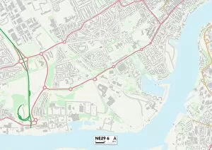
Background imageBorough Road Collection: North Tyneside NE29 6 Map

North Tyneside NE29 6 Map
Postcode Sector Map of North Tyneside NE29 6

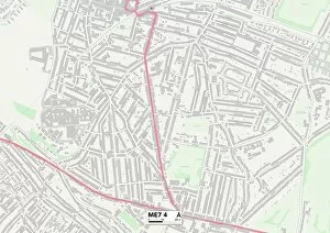
Background imageBorough Road Collection: Medway ME7 4 Map

Medway ME7 4 Map
Postcode Sector Map of Medway ME7 4

Background imageBorough Road Collection: Salford M50 1 Map

Salford M50 1 Map
Postcode Sector Map of Salford M50 1

Background imageBorough Road Collection: Swale ME11 5 Map

Swale ME11 5 Map
Postcode Sector Map of Swale ME11 5

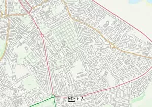
Background imageBorough Road Collection: South Tyneside NE34 6 Map

South Tyneside NE34 6 Map
Postcode Sector Map of South Tyneside NE34 6

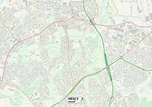
Background imageBorough Road Collection: South Tyneside NE32 5 Map

South Tyneside NE32 5 Map
Postcode Sector Map of South Tyneside NE32 5

Background imageBorough Road Collection: Central Bedfordshire LU5 4 Map

Central Bedfordshire LU5 4 Map
Postcode Sector Map of Central Bedfordshire LU5 4

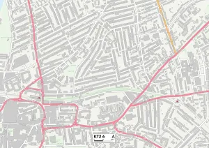
Background imageBorough Road Collection: Kingston upon Thames KT2 6 Map

Kingston upon Thames KT2 6 Map
Postcode Sector Map of Kingston upon Thames KT2 6

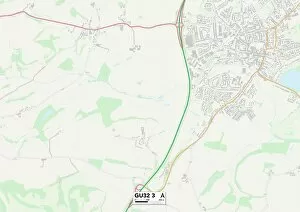
Background imageBorough Road Collection: East Hampshire GU32 3 Map

East Hampshire GU32 3 Map
Postcode Sector Map of East Hampshire GU32 3

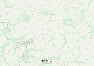
Background imageBorough Road Collection: Exeter EX38 7 Map

Exeter EX38 7 Map
Postcode Sector Map of Exeter EX38 7

Background imageBorough Road Collection: Waverley GU7 1 Map

Waverley GU7 1 Map
Postcode Sector Map of Waverley GU7 1

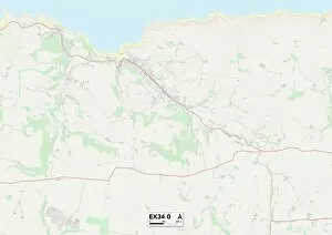
Background imageBorough Road Collection: Exeter EX34 0 Map

Exeter EX34 0 Map
Postcode Sector Map of Exeter EX34 0

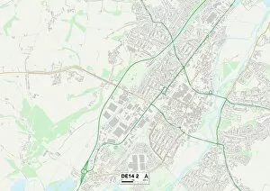
Background imageBorough Road Collection: East Staffordshire DE14 2 Map

East Staffordshire DE14 2 Map
Postcode Sector Map of East Staffordshire DE14 2

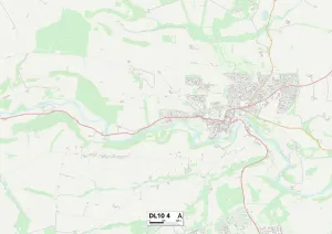
Background imageBorough Road Collection: North Yorkshire DL10 4 Map

North Yorkshire DL10 4 Map
Postcode Sector Map of North Yorkshire DL10 4

Background imageBorough Road Collection: Wirral CH44 6 Map

Wirral CH44 6 Map
Postcode Sector Map of Wirral CH44 6

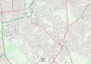
Background imageBorough Road Collection: Merton CR4 3 Map

Merton CR4 3 Map
Postcode Sector Map of Merton CR4 3

Background imageBorough Road Collection: Wirral CH63 5 Map

Wirral CH63 5 Map
Postcode Sector Map of Wirral CH63 5

Background imageBorough Road Collection: Wirral CH42 9 Map

Wirral CH42 9 Map
Postcode Sector Map of Wirral CH42 9

Background imageBorough Road Collection: Wirral CH42 7 Map

Wirral CH42 7 Map
Postcode Sector Map of Wirral CH42 7

Background imageBorough Road Collection: Motor car engine laboratory, Borough Polytechnic, Southwark, London, 1936

Motor car engine laboratory, Borough Polytechnic, Southwark, London, 1936

Background imageBorough Road Collection: Varnish Laboratory, Borough Polytechnic, Southwark, London, 1936

Varnish Laboratory, Borough Polytechnic, Southwark, London, 1936

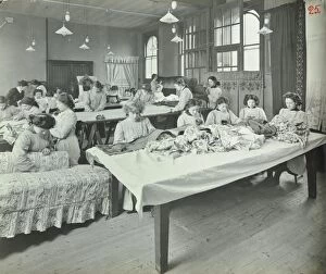
Background imageBorough Road Collection: An Upholstery class for female students at Borough Polytechnic, Southwark, London, 1911

An Upholstery class for female students at Borough Polytechnic, Southwark, London, 1911. The girls are measuring out and pinning fabric at the two tables

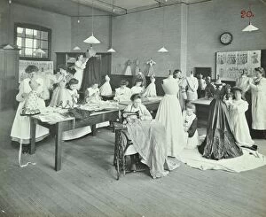
Background imageBorough Road Collection: Dressmaking class, Borough Polytechnic, Southwark, London, 1907

Dressmaking class, Borough Polytechnic, Southwark, London, 1907. A girl in the centre works on a sewing machine, while two girls behind her work on dresses on dummies


All Professionally Made to Order for Quick Shipping

"Borough Road: A Journey Through Time and Space" Embark on a captivating journey through various locations, each bearing the name "Borough Road. " From Tamworth B79 8 to Wakefield WF1 3, Sunderland SR1 1 to Cheshire East CW12 3, these maps unveil the diverse landscapes that encompass Borough Road. Travel back in time to London in 1888, where an enchanting engraving takes us from London Bridge through the bustling Borough district all the way to Newington Butts and St Georges Fields. The black and white photo of Muswell Estate in London from 1907 captures a moment frozen in history, offering a glimpse into life at that time. Similarly, another photograph showcases the Borough Road Estate's residential tenements in London during 1901. Delve deeper into education as we encounter an intriguing engraving of British and Foreign Schools located on Borough Road. This depiction sheds light on educational institutions that once thrived along this iconic street. Venturing further across the United Kingdom's vast landscape brings us to East Riding of Yorkshire YO16 4, Redcar & Cleveland TS10 2, Trafford WA15 9, and Torbay TQ1 4—each with their own unique charm waiting to be explored. As we conclude our expedition through these different boroughs bearing the name "Borough Road, " let us appreciate how geography intertwines with history, and is within these varied settings that stories unfold—the tales of communities thriving amidst changing times while retaining their distinct identities. So join us as we traverse both space and time along Borough Road—a path connecting places far apart yet united by their shared name—and discover the rich tapestry woven by its past inhabitants.