Fraud Blocker Skip to main content

Brook Close Collection (page 2)

Discover the charm of Brook Close, a hidden gem nestled in various locations across the UK

Background imageBrook Close Collection: Wiltshire SP3 6 Map

Wiltshire SP3 6 Map
Postcode Sector Map of Wiltshire SP3 6

Background imageBrook Close Collection: Wiltshire SP3 4 Map

Wiltshire SP3 4 Map
Postcode Sector Map of Wiltshire SP3 4

Background imageBrook Close Collection: Plymouth PL7 1 Map

Plymouth PL7 1 Map
Postcode Sector Map of Plymouth PL7 1

Background imageBrook Close Collection: Fenland PE15 9 Map

Fenland PE15 9 Map
Postcode Sector Map of Fenland PE15 9

Background imageBrook Close Collection: Suffolk NR33 8 Map

Suffolk NR33 8 Map
Postcode Sector Map of Suffolk NR33 8

Background imageBrook Close Collection: Huntingdonshire PE28 4 Map

Huntingdonshire PE28 4 Map
Postcode Sector Map of Huntingdonshire PE28 4

Background imageBrook Close Collection: South Ribble PR25 1 Map

South Ribble PR25 1 Map
Postcode Sector Map of South Ribble PR25 1

Background imageBrook Close Collection: Isle of Wight PO36 9 Map

Isle of Wight PO36 9 Map
Postcode Sector Map of Isle of Wight PO36 9

Background imageBrook Close Collection: Mole Valley RH4 1 Map

Mole Valley RH4 1 Map
Postcode Sector Map of Mole Valley RH4 1

Background imageBrook Close Collection: Erewash NG10 1 Map

Erewash NG10 1 Map
Postcode Sector Map of Erewash NG10 1

Background imageBrook Close Collection: Nottingham NG6 8 Map

Nottingham NG6 8 Map
Postcode Sector Map of Nottingham NG6 8

Background imageBrook Close Collection: Wigan M29 8 Map

Wigan M29 8 Map
Postcode Sector Map of Wigan M29 8

Background imageBrook Close Collection: Rutland LE15 9 Map

Rutland LE15 9 Map
Postcode Sector Map of Rutland LE15 9

Background imageBrook Close Collection: Central Bedfordshire LU6 1 Map

Central Bedfordshire LU6 1 Map
Postcode Sector Map of Central Bedfordshire LU6 1

Background imageBrook Close Collection: Bury M45 8 Map

Bury M45 8 Map
Postcode Sector Map of Bury M45 8

Background imageBrook Close Collection: Wrexham LL13 8 Map

Wrexham LL13 8 Map
Postcode Sector Map of Wrexham LL13 8

Background imageBrook Close Collection: Leicester LE65 1 Map

Leicester LE65 1 Map
Postcode Sector Map of Leicester LE65 1

Background imageBrook Close Collection: Epsom and Ewell KT19 9 Map

Epsom and Ewell KT19 9 Map
Postcode Sector Map of Epsom and Ewell KT19 9

Background imageBrook Close Collection: East Riding of Yorkshire HU17 0 Map

East Riding of Yorkshire HU17 0 Map
Postcode Sector Map of East Riding of Yorkshire HU17 0

Background imageBrook Close Collection: Aylesbury Vale HP18 9 Map

Aylesbury Vale HP18 9 Map
Postcode Sector Map of Aylesbury Vale HP18 9

Background imageBrook Close Collection: St Edmundsbury IP29 5 Map

St Edmundsbury IP29 5 Map
Postcode Sector Map of St Edmundsbury IP29 5

Background imageBrook Close Collection: Mid Suffolk IP14 1 Map

Mid Suffolk IP14 1 Map
Postcode Sector Map of Mid Suffolk IP14 1

Background imageBrook Close Collection: Hart GU51 3 Map

Hart GU51 3 Map
Postcode Sector Map of Hart GU51 3

Background imageBrook Close Collection: Tewkesbury GL54 5 Map

Tewkesbury GL54 5 Map
Postcode Sector Map of Tewkesbury GL54 5

Background imageBrook Close Collection: Tewkesbury GL54 3 Map

Tewkesbury GL54 3 Map
Postcode Sector Map of Tewkesbury GL54 3

Background imageBrook Close Collection: Hillingdon HA4 7 Map

Hillingdon HA4 7 Map
Postcode Sector Map of Hillingdon HA4 7

Background imageBrook Close Collection: Exeter EX10 9 Map

Exeter EX10 9 Map
Postcode Sector Map of Exeter EX10 9

Background imageBrook Close Collection: Exeter EX1 3 Map

Exeter EX1 3 Map
Postcode Sector Map of Exeter EX1 3

Background imageBrook Close Collection: Derby DE22 5 Map

Derby DE22 5 Map
Postcode Sector Map of Derby DE22 5

Background imageBrook Close Collection: Amber Valley DE56 1 Map

Amber Valley DE56 1 Map
Postcode Sector Map of Amber Valley DE56 1

Background imageBrook Close Collection: Amber Valley DE55 7 Map

Amber Valley DE55 7 Map
Postcode Sector Map of Amber Valley DE55 7

Background imageBrook Close Collection: South Derbyshire DE65 6 Map

South Derbyshire DE65 6 Map
Postcode Sector Map of South Derbyshire DE65 6

Background imageBrook Close Collection: South Derbyshire DE65 5 Map

South Derbyshire DE65 5 Map
Postcode Sector Map of South Derbyshire DE65 5

Background imageBrook Close Collection: Cheshire East CW1 6 Map

Cheshire East CW1 6 Map
Postcode Sector Map of Cheshire East CW1 6

Background imageBrook Close Collection: Derbyshire Dales DE6 5 Map

Derbyshire Dales DE6 5 Map
Postcode Sector Map of Derbyshire Dales DE6 5

Background imageBrook Close Collection: Babergh CO10 8 Map

Babergh CO10 8 Map
Postcode Sector Map of Babergh CO10 8

Background imageBrook Close Collection: County Durham DL5 4 Map

County Durham DL5 4 Map
Postcode Sector Map of County Durham DL5 4

Background imageBrook Close Collection: Wirral CH45 7 Map

Wirral CH45 7 Map
Postcode Sector Map of Wirral CH45 7

Background imageBrook Close Collection: Kent CT6 7 Map

Kent CT6 7 Map
Postcode Sector Map of Kent CT6 7

Background imageBrook Close Collection: Dundee DD1 5 Map

Dundee DD1 5 Map
Postcode Sector Map of Dundee DD1 5

Background imageBrook Close Collection: Colchester CO5 0 Map

Colchester CO5 0 Map
Postcode Sector Map of Colchester CO5 0

Background imageBrook Close Collection: Maldon CM9 8 Map

Maldon CM9 8 Map
Postcode Sector Map of Maldon CM9 8

Background imageBrook Close Collection: Kent CT21 5 Map

Kent CT21 5 Map
Postcode Sector Map of Kent CT21 5

Background imageBrook Close Collection: Braintree CM7 2 Map

Braintree CM7 2 Map
Postcode Sector Map of Braintree CM7 2

Background imageBrook Close Collection: Carlisle CA5 6 Map

Carlisle CA5 6 Map
Postcode Sector Map of Carlisle CA5 6

Background imageBrook Close Collection: North Somerset BS41 9 Map

North Somerset BS41 9 Map
Postcode Sector Map of North Somerset BS41 9

Background imageBrook Close Collection: Cambridge CB24 9 Map

Cambridge CB24 9 Map
Postcode Sector Map of Cambridge CB24 9

Background imageBrook Close Collection: Worthing BN11 2 Map

Worthing BN11 2 Map
Postcode Sector Map of Worthing BN11 2


All Professionally Made to Order for Quick Shipping

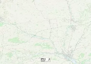
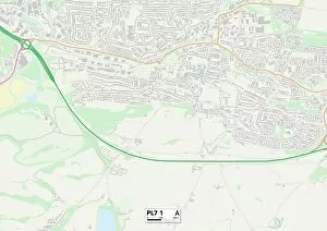
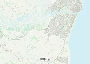
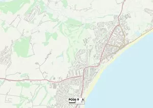
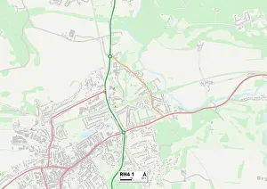
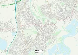
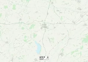
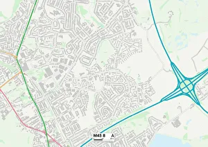
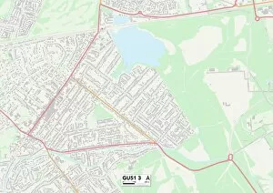
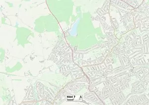
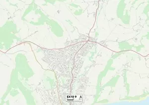
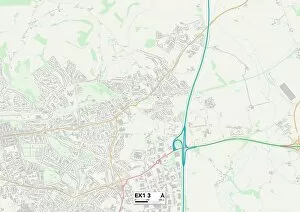
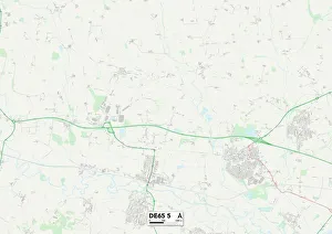
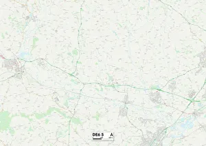
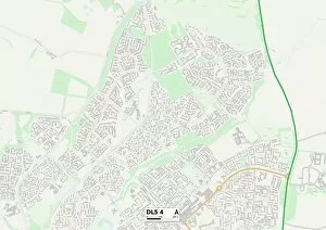
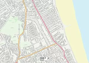
Discover the charm of Brook Close, a hidden gem nestled in various locations across the UK. From Lichfield's tranquil surroundings (WS13 7 Map) to Sussex's picturesque landscapes (PO18 8 Map), each address offers its own unique allure. Wolverhampton (WV9 5 Map) boasts a vibrant community, while Horsham (RH20 3 Map) captivates with its idyllic countryside. The Isle of Wight's coastal beauty awaits at PO33 1 Map, and Aylesbury Vale's scenic vistas beckon at HP22 5 Map. Escape to Bracknell Forest (GU47 0 Map), where nature thrives amidst peaceful surroundings. Exeter's EX7 0 Map location provides easy access to both city amenities and stunning beaches. Maldon's CM9 6 map reveals a charming riverside town steeped in history, while Coventry’s CV1 5 map showcases a bustling city brimming with cultural attractions. Tamworth’s B78 2 map leads you to an enchanting blend of heritage and modernity, perfect for exploring historic landmarks or indulging in retail therapy. Lastly, Wiltshire’s BA12 8 map invites you into an area rich in natural beauty and ancient wonders. No matter which Brook Close destination you choose, expect tranquility and convenience within reach as these addresses offer proximity to essential amenities such as schools, shops, parks, and transport links. Embrace the lifestyle that awaits you at Brook Close – your gateway to serenity.