
Cape Verde Islands Collection
Discover the captivating beauty of Cape Verde Islands, located in the Atlantic Ocean off the coast of Africa


All Professionally Made to Order for Quick Shipping
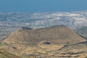
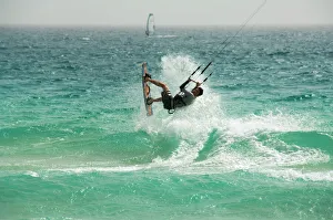
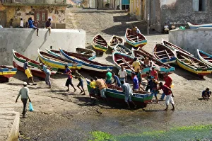
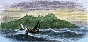
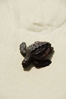
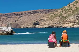
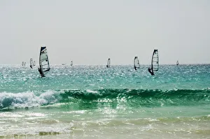
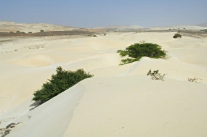
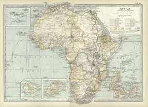
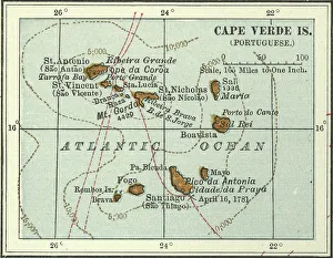
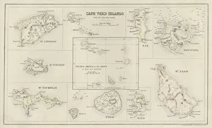
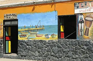
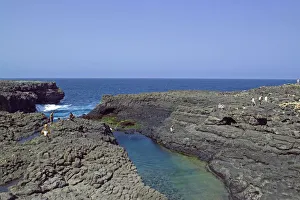
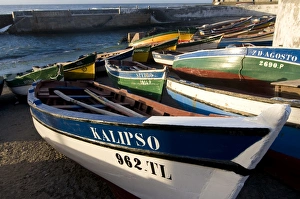
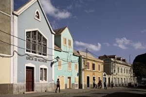
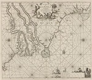
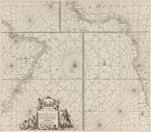
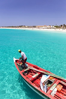
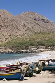
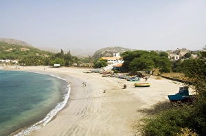
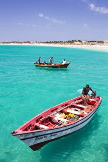
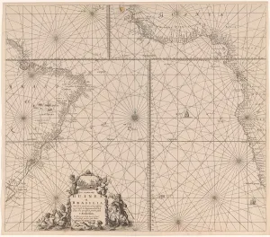
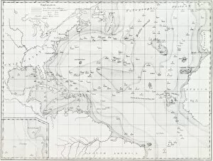
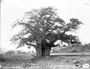
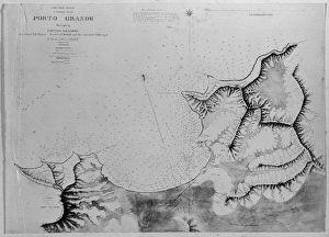
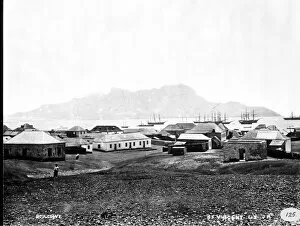
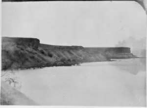
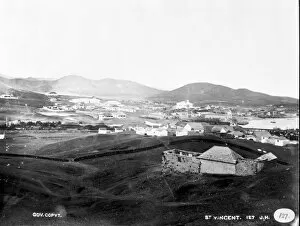
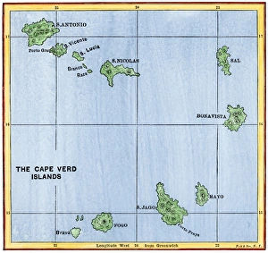
Discover the captivating beauty of Cape Verde Islands, located in the Atlantic Ocean off the coast of Africa. From the volcanic cone on the island of Fogo to the stunning kite surfing at Santa Maria on Sal Island, this archipelago offers a diverse range of experiences. Witness local fishermen taking their boats out of water at Ponto do Sol port in Ribiera Grande and immerse yourself in the vibrant culture that thrives here. Marvel at baby turtles hatching on Santa Maria beach or simply relax with two women sitting and chatting on Tarrafal's sandy shores. For adventure seekers, wind surfing is a must-try activity at Santa Maria while exploring Boa Vista reveals its desert-like landscapes and mesmerizing sand dunes. Don't miss visiting Sal Rei, Boa Vista's main town, which showcases authentic Cape Verdean charm against an Atlantic backdrop. Embark on a journey through history as you explore Sao Filipe's Roman Catholic church on Fogo Island. And if you're planning to sail from Madeira, Portugal to St. Vincent, consult our chart for an unforgettable oceanic voyage. Cape Verde Islands offer a unique blend of natural wonders and cultural heritage that will leave you spellbound. So pack your bags and get ready to experience this hidden gem in Africa's vast expanse.