Fraud Blocker Skip to main content

Cartography Collection (page 10)

Cartography, the art of mapmaking, has a rich history that spans centuries and continents

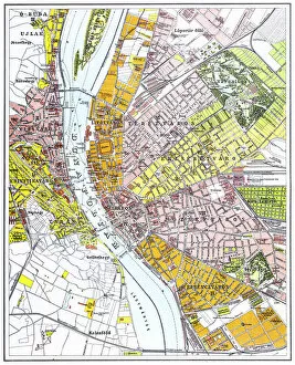
Background imageCartography Collection: Budapest city map

Budapest city map
Illustration of a Budapest city map

Background imageCartography Collection: Map of United States 1867

Map of United States 1867
Mitchells Modern Atlas - Published by E.H. Buttler & Co - Philadelphia 1867

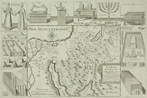
Background imageCartography Collection: Antique map of Israel with vignettes

Antique map of Israel with vignettes

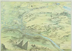
Background imageCartography Collection: Antique engraving depicting birds eye view of Cairo

Antique engraving depicting birds eye view of Cairo

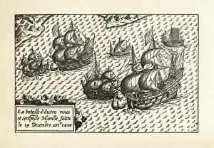
Background imageCartography Collection: Engraving of Van Noort Landing in Manila Bay, Philippines, 1600

Engraving of Van Noort Landing in Manila Bay, Philippines, 1600
Very Rare, Beautifully Illustrated Antique Engraved Victorian Illustration of Historical Engraving of Van Noort Landing in Manila Bay, Philippines, 1600. Copyright has expired on this artwork

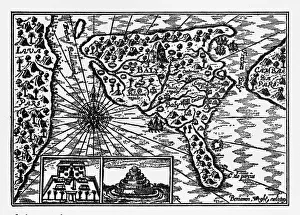
Background imageCartography Collection: Historical Map of Dutch Navigators Island of Bali Illustration

Historical Map of Dutch Navigators Island of Bali Illustration
Very Rare, Beautifully Illustrated Antique Engraved Victorian Illustration of Historical Map of Dutch Navigators on the Island of Bali. Copyright has expired on this artwork. Digitally restored

Background imageCartography Collection: Ohio 1852 Map

Ohio 1852 Map

Background imageCartography Collection: Wisconsin 1852 Map

Wisconsin 1852 Map

Background imageCartography Collection: Antique map of Nile River

Antique map of Nile River

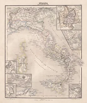
Background imageCartography Collection: Ancent Italy, c. 450 BC, steel engraving, published in 1861

Ancent Italy, c. 450 BC, steel engraving, published in 1861
The territory of Italy around 450 BC with separate maps of Rome, Roman Forum, surrounding area of Rome, Syracuse, Carthage and surrounding area of Pompeji and Naples. Legend in Latin language

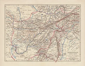
Background imageCartography Collection: Afghanistan, lithograph, published in 1881

Afghanistan, lithograph, published in 1881
Ancient map of Afghanistan. Lithograph, published in 1881

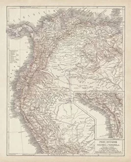
Background imageCartography Collection: Peru, Ecuador, Colombia, Venezuela, lithograph, published in 1877

Peru, Ecuador, Colombia, Venezuela, lithograph, published in 1877
Ancient map of Peru, Ecuador, Colombia, and Venezuela. Lithograph, published in 1877

Background imageCartography Collection: Map of British Isles, lithograph, lithograph, published in 1876

Map of British Isles, lithograph, lithograph, published in 1876
Map of British Isles. Lithograph, published in 1876

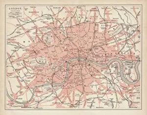
Background imageCartography Collection: City map of London, lithograph, lithograph, published in 1877

City map of London, lithograph, lithograph, published in 1877
City map of London, United Kingdom. Lithograph, published in 1877

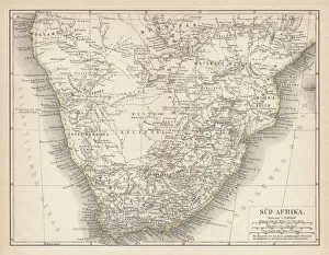
Background imageCartography Collection: Ancient map of South Africa, lithograph, published in 1876

Ancient map of South Africa, lithograph, published in 1876
Ancient map of South Africa. Lithograph, published in 1876

Background imageCartography Collection: Map of Hannover 1895

Map of Hannover 1895
Map of Hannover, Germany

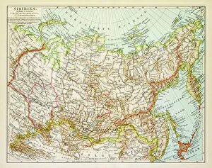
Background imageCartography Collection: Map of Siberia 1895

Map of Siberia 1895
Map of Siberia

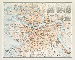
Background imageCartography Collection: Map of St. Petersburg 1895
Map of St. Petersburg 1895
Map of St. Petersburg, Russia

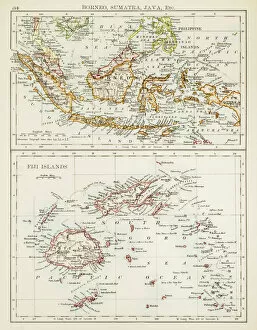
Background imageCartography Collection: Map of Fiji Sumatra Borneo 1897

Map of Fiji Sumatra Borneo 1897
Map of Fiji, Borneo, Sumatra, java

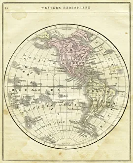
Background imageCartography Collection: Western Hemisphere map 1856

Western Hemisphere map 1856
Colton and Fitchs Modern School Geography by George W. Fitch - New York 1856

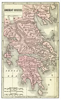
Background imageCartography Collection: Ancient Greece map 1875

Ancient Greece map 1875
The Independent Course Comprehensive Geography by James Monteith, A.S. Barnes & Co, New York & Chicago 1875

Background imageCartography Collection: Germany map 1875

Germany map 1875
The Independent Course Comprehensive Geography by James Monteith, A.S. Barnes & Co, New York & Chicago 1875

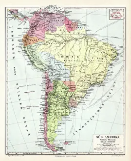
Background imageCartography Collection: South America political map 1895

South America political map 1895
Meyers Konversations-Lexikon. Ein Nachschlagewerk des allgemeinen Wissens, 5th edition 17 volumes Bibliographisches Institut - Leipzig 1895-1897

Background imageCartography Collection: Amsterdam city map 1895

Amsterdam city map 1895
Meyers Konversations-Lexikon. Ein Nachschlagewerk des allgemeinen Wissens, 5th edition 17 volumes Bibliographisches Institut - Leipzig 1895-1897

Background imageCartography Collection: North America political map 1895

North America political map 1895
Meyers Konversations-Lexikon. Ein Nachschlagewerk des allgemeinen Wissens, 5th edition 17 volumes Bibliographisches Institut - Leipzig 1895-1897

Background imageCartography Collection: Indiana USA map 1881

Indiana USA map 1881
Encyclopedia Britannica 9th Edition Vol XII Philadelphia j.M. Stoddart & Co 1881

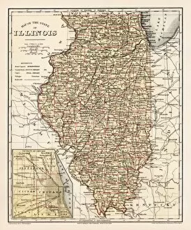
Background imageCartography Collection: Illinois map 1881

Illinois map 1881
Encyclopedia Britannica 9th Edition Vol XII Philadelphia j.M. Stoddart & Co 1881

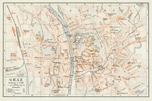
Background imageCartography Collection: Graz Austria map 1895

Graz Austria map 1895
Encyclopedia Britannica 9th Edition Vol I New York, Samuel Hall 1878

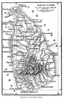
Background imageCartography Collection: Srilanka former Ceylon map 1895

Srilanka former Ceylon map 1895
Meyers Konversations-Lexikon. Ein Nachschlagewerk des allgemeinen Wissens, 5th edition 17 volumes Bibliographisches Institut - Leipzig 1895-1897

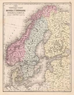
Background imageCartography Collection: Denmark Sweden Norway map 1867

Denmark Sweden Norway map 1867
Mitchellas Modern Atlas - Published by E.H. Butler and Co - Philadelphia 1867

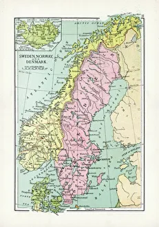
Background imageCartography Collection: Antique Map of Sweden, Norway and Denmark

Antique Map of Sweden, Norway and Denmark
Vintage map of Sweden, Norway and Denmark, from 1894

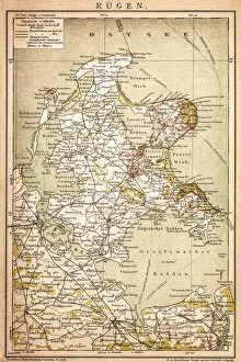
Background imageCartography Collection: RAOEgen

RAOEgen
Antique map of RAOEgen

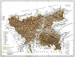
Background imageCartography Collection: Romania

Romania
Antique map of Romania

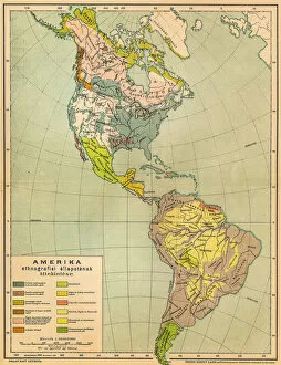
Background imageCartography Collection: American ethnographic map

American ethnographic map
Illutration of American ethnographic map

Background imageCartography Collection: Map of Kosice

Map of Kosice
Antique illustration of a map of Kosice

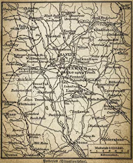
Background imageCartography Collection: Potteries map

Potteries map
Antique illustration of a Potteries map

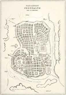
Background imageCartography Collection: Plan of ancient Jerusalem as it was presumed to be at the time of Jesus Christ (litho)

Plan of ancient Jerusalem as it was presumed to be at the time of Jesus Christ (litho)
KW360491 Plan of ancient Jerusalem as it was presumed to be at the time of Jesus Christ (litho) by English School, (19th century); Private Collection; (add.info.: from The Holy Bible)

Background imageCartography Collection: Great North Road out of London, 1st July 1790 (colour litho)

Great North Road out of London, 1st July 1790 (colour litho)
XCF275041 Great North Road out of London, 1st July 1790 (colour litho) by English School, (18th century); Private Collection; English, out of copyright

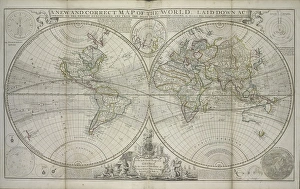
Background imageCartography Collection: A new and correct map of the world laid down according to the newest discoveries

A new and correct map of the world laid down according to the newest discoveries
XOS1765728 A new and correct map of the world laid down according to the newest discoveries and from the most exact observations, 1736 (hand coloured print) by Moll

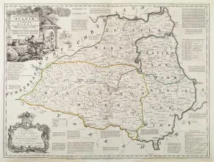
Background imageCartography Collection: Map of Durham, 1777 (hand coloured engraving)

Map of Durham, 1777 (hand coloured engraving)
BAL16024 Map of Durham, 1777 (hand coloured engraving) by Kitchin, Thomas (fl.1777); Map House, London, UK; English, out of copyright

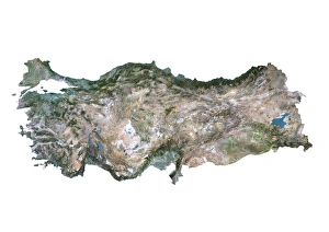
Background imageCartography Collection: Turkey, Satellite Image

Turkey, Satellite Image
Satellite view of Turkey. This image was compiled from data acquired by LANDSAT satellite

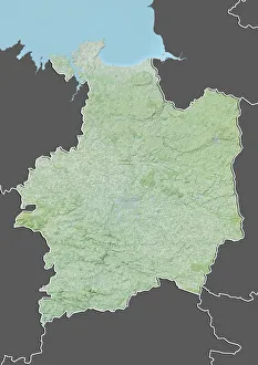
Background imageCartography Collection: Departement of Ille-et-Vilaine, France, Relief Map

Departement of Ille-et-Vilaine, France, Relief Map
Relief map of the departement of Ille-et-Vilaine, France. It is bordered by the English Channel to the north. This image was compiled from data acquired by LANDSAT 5 & 7 satellites combined with

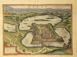
Background imageCartography Collection: Tata, Dotis from Civitates Orbis Terrarum by Georg Braun, 1541-1622 and Franz Hogenberg

Tata, Dotis from Civitates Orbis Terrarum by Georg Braun, 1541-1622 and Franz Hogenberg, 1540-1590, engraving
Cartography, Hungary, 16th century. Tata (Dotis). From Civitates Orbis Terrarum by Georg Braun (1541-1622) and Franz Hogenberg (1540-1590), Cologne. Engraving

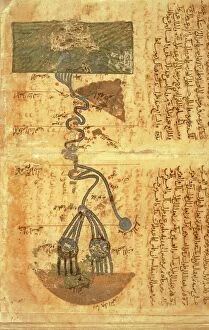
Background imageCartography Collection: Course of river Nile, map by Arab geographer and astronomer Muhammad ibn Musa al-Khwarizmi (780-850)

Course of river Nile, map by Arab geographer and astronomer Muhammad ibn Musa al-Khwarizmi (780-850)
Cartography, Africa, 9th century. The course of the river Nile. Map by Arab geographer and astronomer Muhammad ibn Musa al-Khwarizmi (780-850)

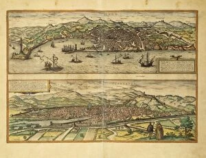
Background imageCartography Collection: Map of Genoa and Florence from Civitates Orbis Terrarum by Georg Braun

Map of Genoa and Florence from Civitates Orbis Terrarum by Georg Braun, 1541-1622 and Franz Hogenberg, 1540-1590
Cartography, Italy, 16th century. Map of Genoa and Florence. From Civitates Orbis Terrarum by Georg Braun (1541-1622) and Franz Hogenberg (1540-1590), Cologne. Engraving

Background imageCartography Collection: Map of Perugia from Civitates Orbis Terrarum by Georg Braun, 1541-1622 and Franz Hogenberg

Map of Perugia from Civitates Orbis Terrarum by Georg Braun, 1541-1622 and Franz Hogenberg, 1540-1590, engraving
Cartography, Italy, 16th century. Map of Perugia. From Civitates Orbis Terrarum by Georg Braun (1541-1622) and Franz Hogenberg (1540-1590), Cologne. Engraving

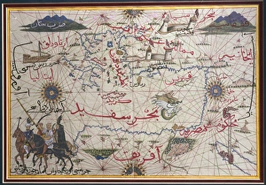
Background imageCartography Collection: The Maghreb and the Middle East, Ottoman miniature

The Maghreb and the Middle East, Ottoman miniature
Cartography, late 16th century. The Maghreb and the Middle East. Ottoman miniature


All Professionally Made to Order for Quick Shipping

Cartography, the art of mapmaking, has a rich history that spans centuries and continents. From ancient civilizations to modern times, maps have been used as powerful tools for navigation, exploration, and understanding the world around us. One notable example of early the Hereford Mappa Mundi, created in 1285 by Richard de Bello. This intricate map depicts a combination of geographical features and religious symbolism, offering a unique perspective on medieval Europe. Another remarkable piece is Al-Idrisi's world map from 1154. Crafted during the Islamic Golden Age, this map showcases an impressive level of detail and accuracy for its time. It highlights trade routes and important cities across Africa, Asia, and Europe. For those interested in British history, antique maps provide fascinating insights into different eras. An antique map depicting Britain under the Anglo Saxons offers a glimpse into the island's past before Norman conquests reshaped its landscape. Similarly captivating is an antique map showcasing the vast Roman Empire at its height. This visual representation allows us to trace their expansive territories across Europe, North Africa, and parts of Asia. Moving forward in time brings us to more recent cartographic works like the Map of Cyprus published in 1880. This detailed depiction captures not only geographical features but also cultural landmarks that define this Mediterranean island nation. Maps are not limited to landmasses alone; they can also illustrate political boundaries on larger scales. A Political Map of Africa provides valuable information about countries' borders and capital cities within this diverse continent. On a smaller scale but equally significant is California Highway Map—a practical tool for travelers navigating through one of America's most populous states with ease. Exploring historical empires leads us to delve into Byzantine history with a Map of the Byzantine Empire from the 9th century—showcasing Constantinople as its vibrant heart while encompassing regions stretching from Greece to Egypt.