Fraud Blocker Skip to main content

Cavendish Close Collection

Welcome to Cavendish Close, a diverse community spread across various locations in the UK

Background imageCavendish Close Collection: Kettering NN15 6 Map

Kettering NN15 6 Map
Postcode Sector Map of Kettering NN15 6

Background imageCavendish Close Collection: Darlington DL1 2 Map

Darlington DL1 2 Map
Postcode Sector Map of Darlington DL1 2

Background imageCavendish Close Collection: Rugby CV22 7 Map

Rugby CV22 7 Map
Postcode Sector Map of Rugby CV22 7

Background imageCavendish Close Collection: Warrington WA5 8 Map

Warrington WA5 8 Map
Postcode Sector Map of Warrington WA5 8

Background imageCavendish Close Collection: Spelthorne TW16 7 Map

Spelthorne TW16 7 Map
Postcode Sector Map of Spelthorne TW16 7

Background imageCavendish Close Collection: Shropshire SY3 5 Map

Shropshire SY3 5 Map
Postcode Sector Map of Shropshire SY3 5

Background imageCavendish Close Collection: Cheshire East SK10 2 Map

Cheshire East SK10 2 Map
Postcode Sector Map of Cheshire East SK10 2

Background imageCavendish Close Collection: Wiltshire SN11 8 Map

Wiltshire SN11 8 Map
Postcode Sector Map of Wiltshire SN11 8

Background imageCavendish Close Collection: Bassetlaw S80 4 Map

Bassetlaw S80 4 Map
Postcode Sector Map of Bassetlaw S80 4

Background imageCavendish Close Collection: Rotherham S65 3 Map

Rotherham S65 3 Map
Postcode Sector Map of Rotherham S65 3

Background imageCavendish Close Collection: Tonbridge and Malling TN10 4 Map

Tonbridge and Malling TN10 4 Map
Postcode Sector Map of Tonbridge and Malling TN10 4

Background imageCavendish Close Collection: Hillingdon UB4 8 Map

Hillingdon UB4 8 Map
Postcode Sector Map of Hillingdon UB4 8

Background imageCavendish Close Collection: Hampshire PO7 7 Map

Hampshire PO7 7 Map
Postcode Sector Map of Hampshire PO7 7

Background imageCavendish Close Collection: Telford and Wrekin TF2 6 Map

Telford and Wrekin TF2 6 Map
Postcode Sector Map of Telford and Wrekin TF2 6

Background imageCavendish Close Collection: Chesterfield S42 5 Map

Chesterfield S42 5 Map
Postcode Sector Map of Chesterfield S42 5

Background imageCavendish Close Collection: South Buckinghamshire SL6 0 Map

South Buckinghamshire SL6 0 Map
Postcode Sector Map of South Buckinghamshire SL6 0

Background imageCavendish Close Collection: Test Valley SO51 7 Map

Test Valley SO51 7 Map
Postcode Sector Map of Test Valley SO51 7

Background imageCavendish Close Collection: Brent NW6 7 Map

Brent NW6 7 Map
Postcode Sector Map of Brent NW6 7

Background imageCavendish Close Collection: Camden NW8 9 Map

Camden NW8 9 Map
Postcode Sector Map of Camden NW8 9

Background imageCavendish Close Collection: Suffolk NR32 3 Map

Suffolk NR32 3 Map
Postcode Sector Map of Suffolk NR32 3

Background imageCavendish Close Collection: West Norfolk PE32 1 Map

West Norfolk PE32 1 Map
Postcode Sector Map of West Norfolk PE32 1

Background imageCavendish Close Collection: Huntingdonshire PE28 5 Map

Huntingdonshire PE28 5 Map
Postcode Sector Map of Huntingdonshire PE28 5

Background imageCavendish Close Collection: Isle of Wight PO35 5 Map

Isle of Wight PO35 5 Map
Postcode Sector Map of Isle of Wight PO35 5

Background imageCavendish Close Collection: Horsham RH12 5 Map

Horsham RH12 5 Map
Postcode Sector Map of Horsham RH12 5

Background imageCavendish Close Collection: Enfield N18 2 Map

Enfield N18 2 Map
Postcode Sector Map of Enfield N18 2

Background imageCavendish Close Collection: Ashfield NG15 7 Map

Ashfield NG15 7 Map
Postcode Sector Map of Ashfield NG15 7

Background imageCavendish Close Collection: Wrexham LL12 8 Map

Wrexham LL12 8 Map
Postcode Sector Map of Wrexham LL12 8

Background imageCavendish Close Collection: Aylesbury Vale HP22 6 Map

Aylesbury Vale HP22 6 Map
Postcode Sector Map of Aylesbury Vale HP22 6

Background imageCavendish Close Collection: Chiltern HP6 6 Map

Chiltern HP6 6 Map
Postcode Sector Map of Chiltern HP6 6

Background imageCavendish Close Collection: St Edmundsbury IP31 3 Map

St Edmundsbury IP31 3 Map
Postcode Sector Map of St Edmundsbury IP31 3

Background imageCavendish Close Collection: Forest Heath IP28 7 Map

Forest Heath IP28 7 Map
Postcode Sector Map of Forest Heath IP28 7

Background imageCavendish Close Collection: Doncaster DN10 6 Map

Doncaster DN10 6 Map
Postcode Sector Map of Doncaster DN10 6

Background imageCavendish Close Collection: Exeter EX7 9 Map

Exeter EX7 9 Map
Postcode Sector Map of Exeter EX7 9

Background imageCavendish Close Collection: South Derbyshire DE11 0 Map

South Derbyshire DE11 0 Map
Postcode Sector Map of South Derbyshire DE11 0

Background imageCavendish Close Collection: North East Lincolnshire DN35 0 Map

North East Lincolnshire DN35 0 Map
Postcode Sector Map of North East Lincolnshire DN35 0

Background imageCavendish Close Collection: Dudley DY6 9 Map

Dudley DY6 9 Map
Postcode Sector Map of Dudley DY6 9

Background imageCavendish Close Collection: Amber Valley DE56 4 Map

Amber Valley DE56 4 Map
Postcode Sector Map of Amber Valley DE56 4

Background imageCavendish Close Collection: North West Leicestershire DE74 2 Map

North West Leicestershire DE74 2 Map
Postcode Sector Map of North West Leicestershire DE74 2

Background imageCavendish Close Collection: Erewash DE72 2 Map

Erewash DE72 2 Map
Postcode Sector Map of Erewash DE72 2

Background imageCavendish Close Collection: Cheshire West and Chester CW7 2 Map

Cheshire West and Chester CW7 2 Map
Postcode Sector Map of Cheshire West and Chester CW7 2

Background imageCavendish Close Collection: Derbyshire Dales DE6 5 Map

Derbyshire Dales DE6 5 Map
Postcode Sector Map of Derbyshire Dales DE6 5

Background imageCavendish Close Collection: Cardiff CF14 9 Map

Cardiff CF14 9 Map
Postcode Sector Map of Cardiff CF14 9

Background imageCavendish Close Collection: Bath and North East Somerset BS31 3 Map

Bath and North East Somerset BS31 3 Map
Postcode Sector Map of Bath and North East Somerset BS31 3

Background imageCavendish Close Collection: Worthing BN12 6 Map

Worthing BN12 6 Map
Postcode Sector Map of Worthing BN12 6

Background imageCavendish Close Collection: Lewes BN10 7 Map

Lewes BN10 7 Map
Postcode Sector Map of Lewes BN10 7

Background imageCavendish Close Collection: Bromsgrove B60 1 Map

Bromsgrove B60 1 Map
Postcode Sector Map of Bromsgrove B60 1

Background imageCavendish Close Collection: BA Bath, BA21 5

BA Bath, BA21 5
BA21 5

Background imageCavendish Close Collection: Birmingham B38 9 Map

Birmingham B38 9 Map
Postcode Sector Map of Birmingham B38 9


All Professionally Made to Order for Quick Shipping

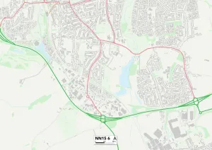
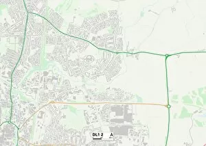
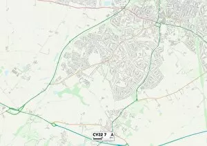
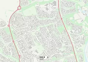
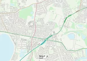
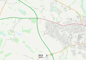
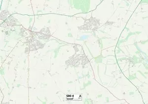
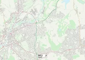
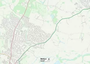
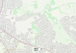
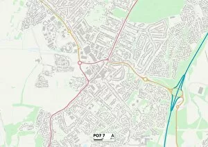
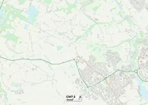
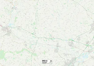
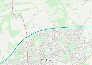
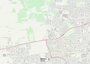
Welcome to Cavendish Close, a diverse community spread across various locations in the UK. From Kettering's NN15 6 Map to Darlington's DL1 2 Map, our residents enjoy the convenience of living in well-connected neighborhoods. Warrington's WA5 8 Map offers a bustling atmosphere with plenty of amenities nearby, while Spelthorne's TW16 7 Map boasts picturesque landscapes for nature enthusiasts. For those seeking tranquility, Shropshire's SY3 5 Map provides a peaceful retreat amidst stunning countryside views. Meanwhile, Cheshire East's SK10 2 Map presents an ideal blend of rural charm and urban accessibility. Explore the historic streets of Wiltshire at SN11 8 Map or immerse yourself in Bassetlaw's S80 4 Map vibrant culture. Rotherham's S65 3 Map offers a thriving community spirit where neighbors become friends. Tonbridge and Malling at TN10 4 Map showcases its rich heritage through charming architecture and cultural events. Hillingdon at UB4 8Map is known for its green spaces and family-friendly environment. Lastly, Hampshire’s PO7 7Map invites you to experience coastal beauty along with excellent amenities for all ages to enjoy. No matter which location you choose within Cavendish Close, rest assured that you'll find a warm and welcoming neighborhood that suits your lifestyle perfectly.