
Chambers Street Collection
"Exploring the Historic Charm of Chambers Street: From Engravings to Maps" Chambers Street, a name that resonates with history and charm


All Professionally Made to Order for Quick Shipping
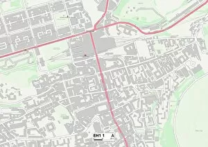
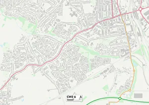
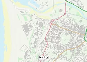
"Exploring the Historic Charm of Chambers Street: From Engravings to Maps" Chambers Street, a name that resonates with history and charm. This iconic street has left its mark in various locations across the United Kingdom, from Hertfordshire's SG14 1 Map to Southwark's SE16 4 Map. It stretches through South Kesteven's NG31 8 Map and Scottish Borders' EH44 6 Map before reaching the vibrant city of Edinburgh on EH1 1 Map. But Chambers Street doesn't stop there; it continues its journey, passing through Derby on DE24 8 Map and Cheshire East on CW2 6 Map. Its presence is felt even across the pond, as indicated by UK Maps and CA Carlisle's CA14 2 location. In New York City, Chambers Street holds significance within City Hall Park Broadway Park Place. Here, amidst bustling streets and towering skyscrapers, one can catch a glimpse of Manhattan Reservoir while strolling along this historic thoroughfare. The allure extends beyond physical landmarks. The engraving depicting Chambers Street offers a window into its past—a testament to the rich heritage that lies within its cobblestone paths. Plate 10 reveals an intricate map bounded by James Street, South Street, Dover Street, Rose Street, and Duane—tracing the footsteps of those who once walked these very streets. Whether you find yourself admiring an engraving or navigating through maps bearing its name in different corners of the world—the story behind Chambers Streets unfolds with every step taken along this storied route.