Fraud Blocker Skip to main content

Chestnut Close Collection

Discover the charm of Chestnut Close, a collection of picturesque neighborhoods scattered across various regions in the UK

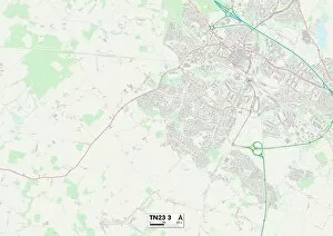
Background imageChestnut Close Collection: Ashford TN23 3 Map

Ashford TN23 3 Map
Postcode Sector Map of Ashford TN23 3

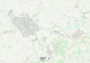
Background imageChestnut Close Collection: Aylesbury Vale HP22 5 Map

Aylesbury Vale HP22 5 Map
Postcode Sector Map of Aylesbury Vale HP22 5

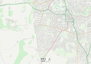
Background imageChestnut Close Collection: Dudley DY8 3 Map

Dudley DY8 3 Map
Postcode Sector Map of Dudley DY8 3

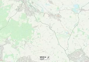
Background imageChestnut Close Collection: Cannock Chase WS15 4 Map

Cannock Chase WS15 4 Map
Postcode Sector Map of Cannock Chase WS15 4

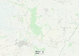
Background imageChestnut Close Collection: South Somerset TA11 6 Map

South Somerset TA11 6 Map
Postcode Sector Map of South Somerset TA11 6

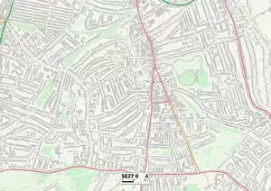
Background imageChestnut Close Collection: Lambeth SE27 0 Map

Lambeth SE27 0 Map
Postcode Sector Map of Lambeth SE27 0

Background imageChestnut Close Collection: Malvern Hills WR13 6 Map

Malvern Hills WR13 6 Map
Postcode Sector Map of Malvern Hills WR13 6

Background imageChestnut Close Collection: Stockton-on-Tees TS20 2 Map

Stockton-on-Tees TS20 2 Map
Postcode Sector Map of Stockton-on-Tees TS20 2

Background imageChestnut Close Collection: Mid Sussex RH15 8 Map

Mid Sussex RH15 8 Map
Postcode Sector Map of Mid Sussex RH15 8

Background imageChestnut Close Collection: Horsham RH20 3 Map

Horsham RH20 3 Map
Postcode Sector Map of Horsham RH20 3

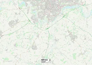
Background imageChestnut Close Collection: Norfolk NR14 8 Map

Norfolk NR14 8 Map
Postcode Sector Map of Norfolk NR14 8

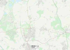
Background imageChestnut Close Collection: Bedford MK45 2 Map

Bedford MK45 2 Map
Postcode Sector Map of Bedford MK45 2

Background imageChestnut Close Collection: Milton Keynes MK17 0 Map

Milton Keynes MK17 0 Map
Postcode Sector Map of Milton Keynes MK17 0

Background imageChestnut Close Collection: Calderdale HX4 8 Map

Calderdale HX4 8 Map
Postcode Sector Map of Calderdale HX4 8

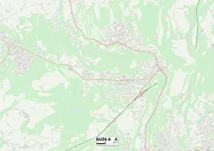
Background imageChestnut Close Collection: Waverley GU26 6 Map

Waverley GU26 6 Map
Postcode Sector Map of Waverley GU26 6

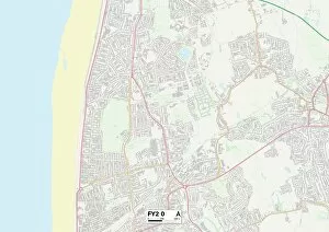
Background imageChestnut Close Collection: Blackpool FY2 0 Map

Blackpool FY2 0 Map
Postcode Sector Map of Blackpool FY2 0

Background imageChestnut Close Collection: Colchester CO4 5 Map

Colchester CO4 5 Map
Postcode Sector Map of Colchester CO4 5

Background imageChestnut Close Collection: Tamworth B78 2 Map

Tamworth B78 2 Map
Postcode Sector Map of Tamworth B78 2

Background imageChestnut Close Collection: Bolton BL3 4 Map

Bolton BL3 4 Map
Postcode Sector Map of Bolton BL3 4

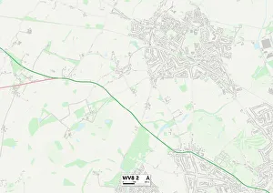
Background imageChestnut Close Collection: Wolverhampton WV8 2 Map

Wolverhampton WV8 2 Map
Postcode Sector Map of Wolverhampton WV8 2

Background imageChestnut Close Collection: Wakefield WF7 6 Map

Wakefield WF7 6 Map
Postcode Sector Map of Wakefield WF7 6

Background imageChestnut Close Collection: York YO8 5 Map

York YO8 5 Map
Postcode Sector Map of York YO8 5

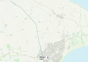
Background imageChestnut Close Collection: East Riding of Yorkshire YO16 6 Map

East Riding of Yorkshire YO16 6 Map
Postcode Sector Map of East Riding of Yorkshire YO16 6

Background imageChestnut Close Collection: North Yorkshire YO12 5 Map

North Yorkshire YO12 5 Map
Postcode Sector Map of North Yorkshire YO12 5

Background imageChestnut Close Collection: Redcar & Cleveland TS12 1 Map

Redcar & Cleveland TS12 1 Map
Postcode Sector Map of Redcar & Cleveland TS12 1

Background imageChestnut Close Collection: Worcester WR3 7 Map

Worcester WR3 7 Map
Postcode Sector Map of Worcester WR3 7

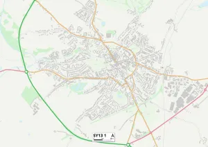
Background imageChestnut Close Collection: Shropshire SY13 1 Map

Shropshire SY13 1 Map
Postcode Sector Map of Shropshire SY13 1

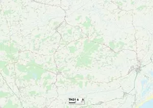
Background imageChestnut Close Collection: Rother TN31 6 Map

Rother TN31 6 Map
Postcode Sector Map of Rother TN31 6

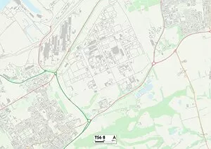
Background imageChestnut Close Collection: Redcar & Cleveland TS6 8 Map

Redcar & Cleveland TS6 8 Map
Postcode Sector Map of Redcar & Cleveland TS6 8

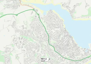
Background imageChestnut Close Collection: Cornwall TR11 2 Map

Cornwall TR11 2 Map
Postcode Sector Map of Cornwall TR11 2

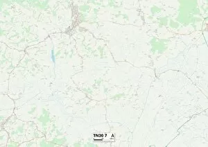
Background imageChestnut Close Collection: Ashford TN30 7 Map

Ashford TN30 7 Map
Postcode Sector Map of Ashford TN30 7

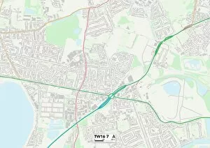
Background imageChestnut Close Collection: Spelthorne TW16 7 Map

Spelthorne TW16 7 Map
Postcode Sector Map of Spelthorne TW16 7

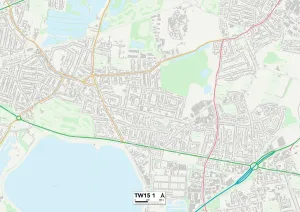
Background imageChestnut Close Collection: Spelthorne TW15 1 Map

Spelthorne TW15 1 Map
Postcode Sector Map of Spelthorne TW15 1

Background imageChestnut Close Collection: Hillingdon UB3 1 Map

Hillingdon UB3 1 Map
Postcode Sector Map of Hillingdon UB3 1

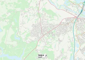
Background imageChestnut Close Collection: Runnymede TW20 0 Map

Runnymede TW20 0 Map
Postcode Sector Map of Runnymede TW20 0

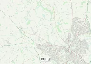
Background imageChestnut Close Collection: Shropshire SY3 8 Map

Shropshire SY3 8 Map
Postcode Sector Map of Shropshire SY3 8

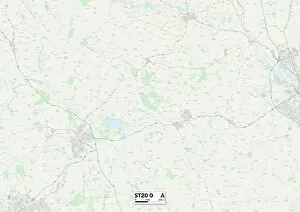
Background imageChestnut Close Collection: Staffordshire ST20 0 Map

Staffordshire ST20 0 Map
Postcode Sector Map of Staffordshire ST20 0

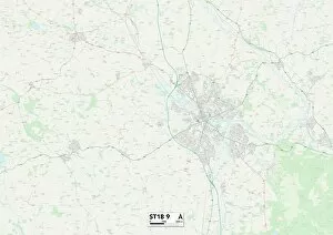
Background imageChestnut Close Collection: Staffordshire ST18 9 Map

Staffordshire ST18 9 Map
Postcode Sector Map of Staffordshire ST18 9

Background imageChestnut Close Collection: Staffordshire ST10 4 Map

Staffordshire ST10 4 Map
Postcode Sector Map of Staffordshire ST10 4

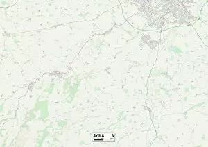
Background imageChestnut Close Collection: Shropshire SY5 8 Map

Shropshire SY5 8 Map
Postcode Sector Map of Shropshire SY5 8

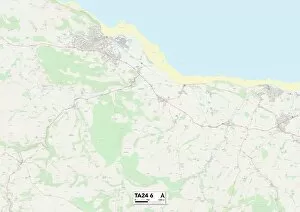
Background imageChestnut Close Collection: Somerset TA24 6 Map

Somerset TA24 6 Map
Postcode Sector Map of Somerset TA24 6

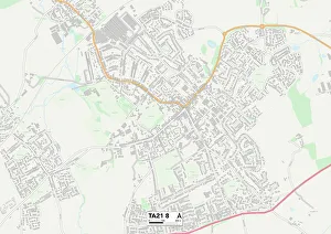
Background imageChestnut Close Collection: Somerset TA21 8 Map

Somerset TA21 8 Map
Postcode Sector Map of Somerset TA21 8

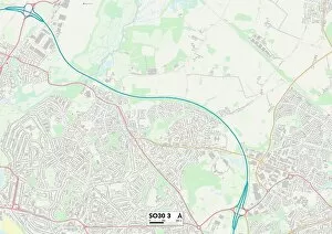
Background imageChestnut Close Collection: Eastleigh SO30 3 Map

Eastleigh SO30 3 Map
Postcode Sector Map of Eastleigh SO30 3

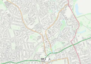
Background imageChestnut Close Collection: Sutton SM5 2 Map

Sutton SM5 2 Map
Postcode Sector Map of Sutton SM5 2

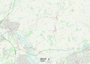
Background imageChestnut Close Collection: East Hertfordshire SG12 8 Map

East Hertfordshire SG12 8 Map
Postcode Sector Map of East Hertfordshire SG12 8

Background imageChestnut Close Collection: Cheshire East SK9 2 Map

Cheshire East SK9 2 Map
Postcode Sector Map of Cheshire East SK9 2

Background imageChestnut Close Collection: High Peak SK22 4 Map

High Peak SK22 4 Map
Postcode Sector Map of High Peak SK22 4

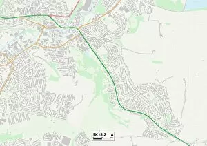
Background imageChestnut Close Collection: Tameside SK15 2 Map

Tameside SK15 2 Map
Postcode Sector Map of Tameside SK15 2

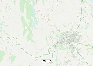
Background imageChestnut Close Collection: Derbyshire Dales SK17 6 Map

Derbyshire Dales SK17 6 Map
Postcode Sector Map of Derbyshire Dales SK17 6

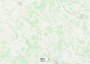
Background imageChestnut Close Collection: South Oxfordshire RG9 6 Map

South Oxfordshire RG9 6 Map
Postcode Sector Map of South Oxfordshire RG9 6

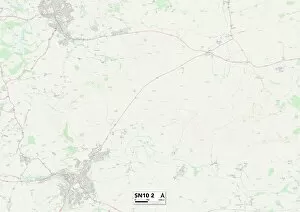
Background imageChestnut Close Collection: Kennet SN10 2 Map

Kennet SN10 2 Map
Postcode Sector Map of Kennet SN10 2

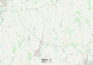
Background imageChestnut Close Collection: Wychavon WR10 2 Map

Wychavon WR10 2 Map
Postcode Sector Map of Wychavon WR10 2

Background imageChestnut Close Collection: Lichfield WS7 3 Map

Lichfield WS7 3 Map
Postcode Sector Map of Lichfield WS7 3

Background imageChestnut Close Collection: Cannock Chase WS11 7 Map

Cannock Chase WS11 7 Map
Postcode Sector Map of Cannock Chase WS11 7

Background imageChestnut Close Collection: Wychavon WR11 7 Map

Wychavon WR11 7 Map
Postcode Sector Map of Wychavon WR11 7

Background imageChestnut Close Collection: Wychavon WR11 2 Map

Wychavon WR11 2 Map
Postcode Sector Map of Wychavon WR11 2

Background imageChestnut Close Collection: East Riding of Yorkshire YO43 3 Map

East Riding of Yorkshire YO43 3 Map
Postcode Sector Map of East Riding of Yorkshire YO43 3

Background imageChestnut Close Collection: Bassetlaw S80 1 Map

Bassetlaw S80 1 Map
Postcode Sector Map of Bassetlaw S80 1

Background imageChestnut Close Collection: North East Derbyshire S18 1 Map

North East Derbyshire S18 1 Map
Postcode Sector Map of North East Derbyshire S18 1

Background imageChestnut Close Collection: Rotherham S66 3 Map

Rotherham S66 3 Map
Postcode Sector Map of Rotherham S66 3

Background imageChestnut Close Collection: Ashford TN17 2 Map

Ashford TN17 2 Map
Postcode Sector Map of Ashford TN17 2

Background imageChestnut Close Collection: Hillingdon UB7 0 Map

Hillingdon UB7 0 Map
Postcode Sector Map of Hillingdon UB7 0

Background imageChestnut Close Collection: Hampshire PO7 6 Map

Hampshire PO7 6 Map
Postcode Sector Map of Hampshire PO7 6

Background imageChestnut Close Collection: Mid Sussex RH19 3 Map

Mid Sussex RH19 3 Map
Postcode Sector Map of Mid Sussex RH19 3

Background imageChestnut Close Collection: Havering RM12 5 Map

Havering RM12 5 Map
Postcode Sector Map of Havering RM12 5

Background imageChestnut Close Collection: Somerset TA9 3 Map

Somerset TA9 3 Map
Postcode Sector Map of Somerset TA9 3

Background imageChestnut Close Collection: Sedgemoor TA6 5 Map

Sedgemoor TA6 5 Map
Postcode Sector Map of Sedgemoor TA6 5

Background imageChestnut Close Collection: Tunbridge Wells TN4 0 Map

Tunbridge Wells TN4 0 Map
Postcode Sector Map of Tunbridge Wells TN4 0

Background imageChestnut Close Collection: Sevenoaks TN8 5 Map

Sevenoaks TN8 5 Map
Postcode Sector Map of Sevenoaks TN8 5

Background imageChestnut Close Collection: Powys SY22 6 Map

Powys SY22 6 Map
Postcode Sector Map of Powys SY22 6

Background imageChestnut Close Collection: Reigate and Banstead RH1 6 Map

Reigate and Banstead RH1 6 Map
Postcode Sector Map of Reigate and Banstead RH1 6

Background imageChestnut Close Collection: South Buckinghamshire SL9 0 Map

South Buckinghamshire SL9 0 Map
Postcode Sector Map of South Buckinghamshire SL9 0

Background imageChestnut Close Collection: South Buckinghamshire SL7 2 Map

South Buckinghamshire SL7 2 Map
Postcode Sector Map of South Buckinghamshire SL7 2

Background imageChestnut Close Collection: South Buckinghamshire SL6 8 Map

South Buckinghamshire SL6 8 Map
Postcode Sector Map of South Buckinghamshire SL6 8

Background imageChestnut Close Collection: Wiltshire SP1 1 Map

Wiltshire SP1 1 Map
Postcode Sector Map of Wiltshire SP1 1

Background imageChestnut Close Collection: Eastleigh SO53 3 Map

Eastleigh SO53 3 Map
Postcode Sector Map of Eastleigh SO53 3

Background imageChestnut Close Collection: Test Valley SO51 9 Map

Test Valley SO51 9 Map
Postcode Sector Map of Test Valley SO51 9

Background imageChestnut Close Collection: Rochford SS5 5 Map

Rochford SS5 5 Map
Postcode Sector Map of Rochford SS5 5

Background imageChestnut Close Collection: West Oxfordshire OX28 1 Map

West Oxfordshire OX28 1 Map
Postcode Sector Map of West Oxfordshire OX28 1

Background imageChestnut Close Collection: Cherwell OX26 5 Map

Cherwell OX26 5 Map
Postcode Sector Map of Cherwell OX26 5

Background imageChestnut Close Collection: Cornwall PL11 2 Map

Cornwall PL11 2 Map
Postcode Sector Map of Cornwall PL11 2

Background imageChestnut Close Collection: Plymouth PL9 0 Map

Plymouth PL9 0 Map
Postcode Sector Map of Plymouth PL9 0

Background imageChestnut Close Collection: West Devon PL20 7 Map

West Devon PL20 7 Map
Postcode Sector Map of West Devon PL20 7

Background imageChestnut Close Collection: Cornwall PL30 3 Map

Cornwall PL30 3 Map
Postcode Sector Map of Cornwall PL30 3


All products are expertly crafted, using premium materials, tailored to your specifications and promptly shipped

Discover the charm of Chestnut Close, a collection of picturesque neighborhoods scattered across various regions in the UK. From Ashford's tranquil TN23 3 Map to Dudley's vibrant DY8 3 Map, each location offers its own unique character and appeal. Nestled amidst the bustling streets of Lambeth SE27 0 Map or the serene landscapes of Horsham RH20 3 Map, residents can enjoy a diverse range of amenities and attractions right at their doorstep. Whether you prefer the peaceful countryside of Norfolk NR14 8 Map or the lively atmosphere of Bedford MK45 2 Map, it has something for everyone. Explore Aylesbury Vale HP22 5 Map with its stunning natural beauty or immerse yourself in Waverley GU26 6 Map's rich history and culture. Tamworth B78 2 Map boasts a perfect blend of modern conveniences and scenic surroundings while Wolverhampton WV8 2Map offers an ideal balance between urban living and green spaces. Cannock Chase WS15 4Map is a haven for nature enthusiasts with its expansive forests and trails, while Wakefield WF7 6Map provides a welcoming community atmosphere. No matter where you choose to settle within Chestnut Close, you'll find comfort, convenience, and endless opportunities for exploration.

© Copyright Media Storehouse, All Rights Reserved 2003 - 2024
Facebook     Pinterest     100% Payment Secure     Reviews IO