
Church Close Collection (page 4)
"Exploring the Hidden Gems: Church Close Edition" Discovering the charm in various locations across the UK


All Professionally Made to Order for Quick Shipping
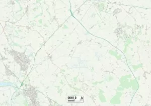
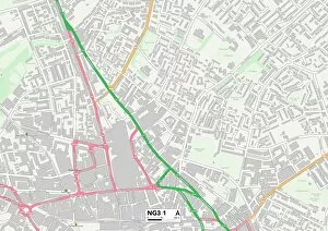
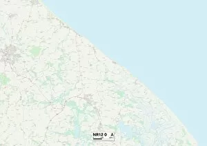
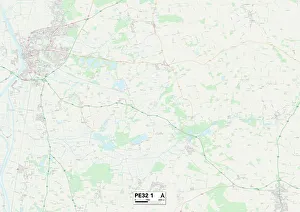
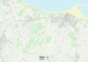
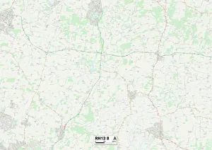
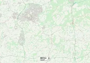
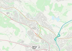
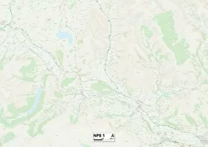
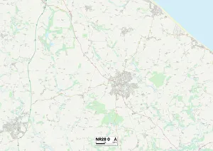
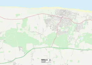
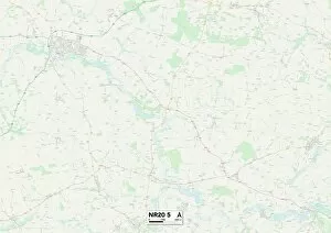
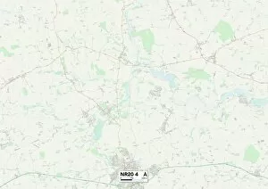
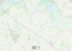
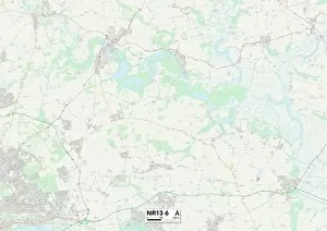
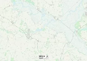
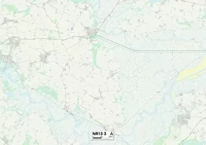
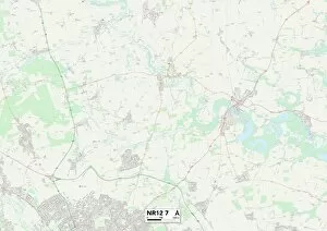
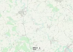
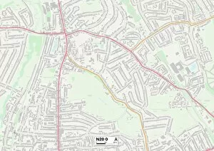
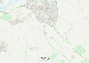
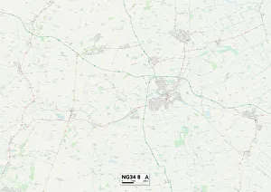
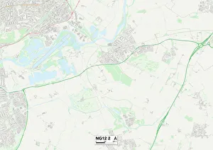
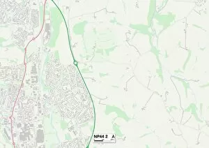
"Exploring the Hidden Gems: Church Close Edition" Discovering the charm in various locations across the UK. From Brentwood CM14 5 to North Dorset SP8 5, these maps will guide you to picturesque churchyards and serene surroundings. Immerse yourself in history as you wander through Cannock Chase WS15 2 or York YO19 6, where ancient architecture meets peaceful landscapes. Experience tranquility at East Riding of Yorkshire YO15 1 or North Yorkshire YO14 9, where hidden gems await your exploration. Escape to Worcester WR6 6 for a spiritual retreat amidst breathtaking scenery, or head over to Ashford TN25 6 for a glimpse into architectural wonders nestled within vibrant communities. Somerset TA12 6 offers a perfect blend of natural beauty and spiritual solace that will leave you awe-inspired. Test Valley SP11 7 invites you on an enchanting journey through time with its historic churches and captivating stories etched in every corner. Meanwhile, Cheshire East SK9 3 beckons with its idyllic countryside setting and charming village atmosphere. Don't miss out on the treasures awaiting discovery in East Riding of Yorkshire YO25 9 – a haven for those seeking serenity amidst rolling hills and quaint villages. Embark on an unforgettable adventure as you explore Church Close locations across the UK's diverse landscapes. Let these maps be your guide as you uncover hidden histories and find solace within their sacred grounds.