
Cow Lane Collection
Cow Lane is a hidden gem that winds its way through various towns and counties, offering a unique experience for those who stumble upon it


All Professionally Made to Order for Quick Shipping
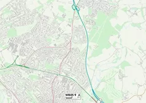
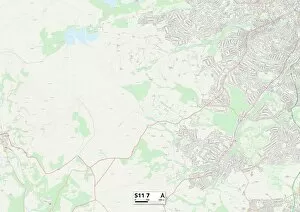
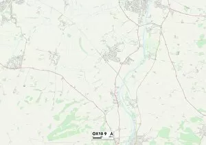
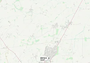
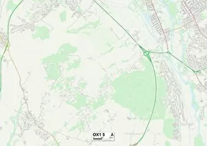
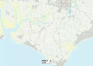
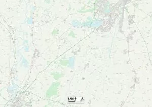
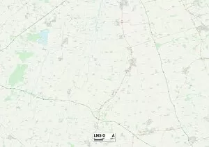
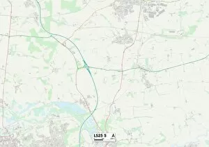
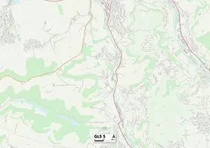
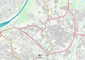
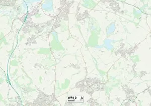
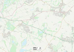
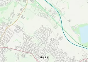
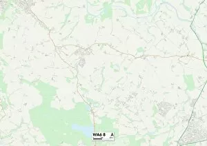
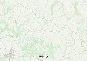
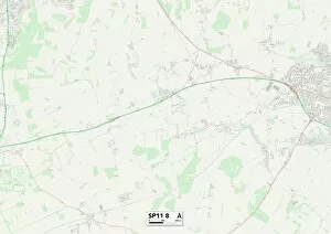
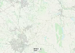
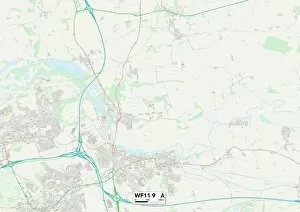
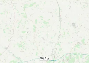
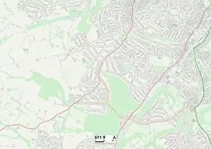
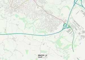
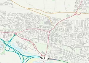
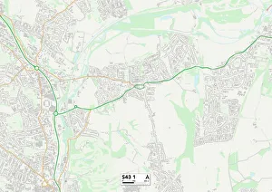
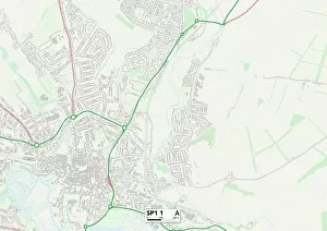
Cow Lane is a hidden gem that winds its way through various towns and counties, offering a unique experience for those who stumble upon it. Starting in Watford WD25 9 Map, this charming lane takes you on a journey through Sheffield S11 7 Map, Aylesbury Vale MK18 4 Map, South Oxfordshire OX10 9 Map, Vale of White Horse OX12 0 Map, and finally leading to the vibrant city of Oxford OX1 5 Map. As you traverse Cow Lane's meandering path, you'll be treated to picturesque landscapes and idyllic countryside views. The tranquility found here is unmatched as you escape the hustle and bustle of everyday life. Passing through Oldham OL4 1 Map brings an unexpected twist with its industrial charm contrasting against the natural beauty surrounding it. The allure lies not only in its scenic surroundings but also in the diverse communities it connects. From Sussex PO20 7 Map to Lincoln LN6 9 Map and Lincoln LN5 0 Map, this route unites people from different regions under one shared experience. Leeds LS25 5 map offers a taste of urban living before Cow Lane leads us towards Stroud GL5 map where nature takes center stage once again. Here, lush greenery blankets the landscape providing a peaceful retreat for weary travelers. Whether you're seeking solace or adventure, Cow Lane promises both. Its ever-changing scenery captivates all who venture along its path. So next time you find yourself yearning for exploration or simply craving some fresh air.