
Fern Close Collection
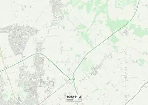
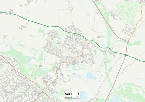
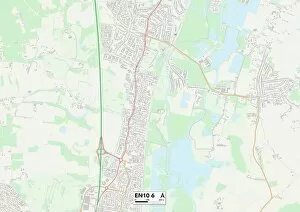
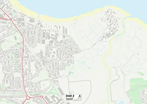
Discover the beauty of 'fern close' in these enchanting locations across the UK. From Wigan WN6 8 to Barnsley S73 9, each map unveils a hidden gem waiting to be explored


All Professionally Made to Order for Quick Shipping
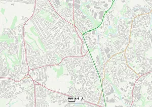
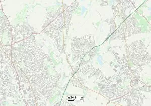
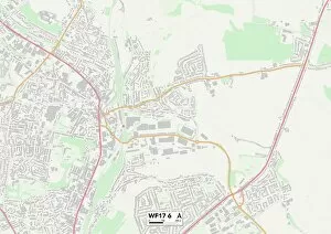
Discover the beauty of 'fern close' in these enchanting locations across the UK. From Wigan WN6 8 to Barnsley S73 9, each map unveils a hidden gem waiting to be explored. Wander through the vibrant streets of Hackney N1 5 or immerse yourself in the rich history of Kingston upon Hull HU2 0. Broxbourne EN10 6 offers a tranquil escape, while Bexley DA8 2 invites you to indulge in its picturesque landscapes. Marvel at Wolverhampton WV14 9's architectural wonders and let Wigan WA3 7 captivate your senses with its natural charm. West Lancashire WN8 8 boasts stunning vistas that will leave you breathless, while Southampton SO19 6 promises coastal delights for every adventurer. Uncover the secrets of Walsall WS4 1 and embark on an unforgettable journey through Kirklees WF17-6's captivating terrain. With 'fern close, ' there's always something extraordinary just around the corner.