
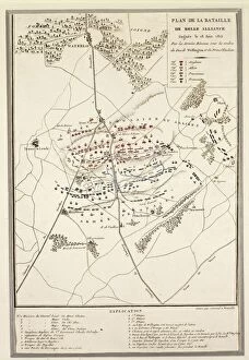
Franz Hogenberg Collection
Franz Hogenberg was a renowned engraver and cartographer who left an indelible mark on the world of art and geography


All Professionally Made to Order for Quick Shipping
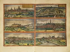
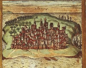
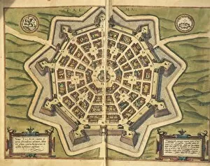
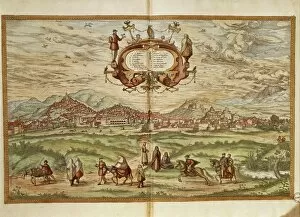
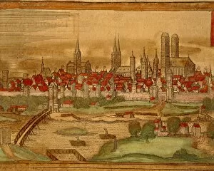
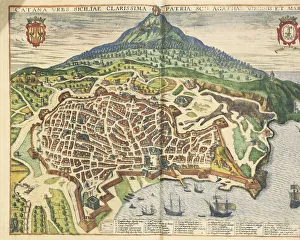
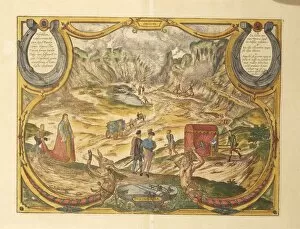
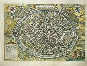
Franz Hogenberg was a renowned engraver and cartographer who left an indelible mark on the world of art and geography. Born in Germany, he collaborated with Georg Braun to create some of the most exquisite engravings of cities around the globe. One such masterpiece is their depiction of Sulmona, Italy, captured in their work "The city of Sulmona from Civitates Orbis Terrarum. " Through intricate lines and delicate shading, Hogenberg brings to life the beauty and charm of this enchanting Italian town. In another stunning creation, Hogenberg presents us with a hand-colored engraving showcasing Zurich in 1575. The map not only serves as a navigational tool but also showcases his attention to detail and artistic flair. Moving further south, we are transported to Seville through Hogenberg's eyes. His hand-colored engraving titled "Plan and view of Seville" offers a captivating glimpse into this vibrant Spanish city during the late 16th century. Hogenberg's talent extends beyond Europe as well. In his famous engraving "View of Calcutta, " he takes us on a visual journey to India. The bustling streets come alive under his skilled hands while smaller views beneath depict Ormuz at its entrance. Back in Europe, Hogenberg captures Nuremberg's essence with precision and authenticity in his panoramic view. Figures dressed in local attire add depth to the scene while showcasing his ability to capture cultural nuances. Tragedy unfolds before our eyes as we witness Henry III's assassination through Hogenberg's powerful portrayal. This eventful moment is etched forever thanks to his masterful strokes that convey both drama and emotion. Hogenberg doesn't shy away from capturing historical events either; Windsor Castle stands tall amidst lush greenery in one such piece from 1902. Its grandeur is evident as every architectural detail is meticulously engraved by his skilled hand.