
Friars Close Collection
Discover the hidden charm of Friars Close, a collection of picturesque neighborhoods scattered across the UK


All Professionally Made to Order for Quick Shipping
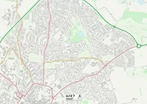
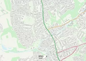
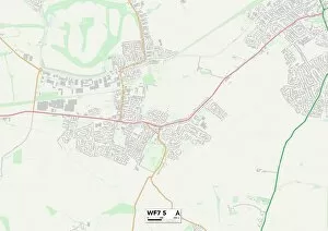
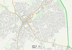
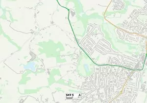
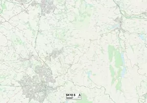
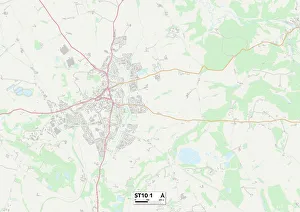
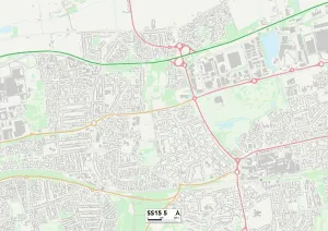
Discover the hidden charm of Friars Close, a collection of picturesque neighborhoods scattered across the UK. From Wrexham's LL12 7 Map to Dudley's DY8 5 Map, each location offers its own unique appeal. Wakefield's WF7 5 Map boasts stunning landscapes that will leave you in awe, while Shropshire's SY11 2 Map invites you to explore its rich history and heritage. Cheshire East beckons with two enchanting spots - SK9 5 Map and SK10 5 Map - where tranquility meets elegance. Travel further south to Wiltshire's SN6 8 Map, where rolling hills and quaint villages create an idyllic setting for peaceful living. Ealing's UB5 6 Map in London provides a vibrant urban atmosphere with endless entertainment options at your doorstep. Trafford's WA14 3 Map offers a perfect blend of modernity and green spaces, making it an ideal place for families seeking balance. Venturing into Staffordshire? ST10 1 map leads you to Friars Close, where charming cottages line the streets amidst breathtaking countryside views. Basildon’s SS15 5 map showcases a thriving community filled with diverse cultures and exciting opportunities. Last but not least is Neath Port Talbot’s SA10 7 map – a coastal gem that combines stunning beaches with rugged mountainscapes; nature lovers will be captivated by this hidden paradise. No matter which corner of the country you choose, Friars Close promises something special for everyone. So pack your bags and embark on an unforgettable journey through these remarkable locations.