Fraud Blocker Skip to main content

Gleneagles Drive Collection

Gleneagles Drive, a name that echoes through various regions of the United Kingdom

Background imageGleneagles Drive Collection: Wellingborough NN8 5 Map

Wellingborough NN8 5 Map
Postcode Sector Map of Wellingborough NN8 5

Background imageGleneagles Drive Collection: Lancaster LA1 3 Map

Lancaster LA1 3 Map
Postcode Sector Map of Lancaster LA1 3

Background imageGleneagles Drive Collection: Doncaster DN4 6 Map

Doncaster DN4 6 Map
Postcode Sector Map of Doncaster DN4 6

Background imageGleneagles Drive Collection: Wakefield WF6 1 Map

Wakefield WF6 1 Map
Postcode Sector Map of Wakefield WF6 1

Background imageGleneagles Drive Collection: Hastings TN38 0 Map

Hastings TN38 0 Map
Postcode Sector Map of Hastings TN38 0

Background imageGleneagles Drive Collection: Staffordshire ST16 3 Map

Staffordshire ST16 3 Map
Postcode Sector Map of Staffordshire ST16 3

Background imageGleneagles Drive Collection: Cheshire East SK10 2 Map

Cheshire East SK10 2 Map
Postcode Sector Map of Cheshire East SK10 2

Background imageGleneagles Drive Collection: Halton WA8 9 Map

Halton WA8 9 Map
Postcode Sector Map of Halton WA8 9

Background imageGleneagles Drive Collection: St. Helens WA11 0 Map

St. Helens WA11 0 Map
Postcode Sector Map of St. Helens WA11 0

Background imageGleneagles Drive Collection: Hampshire PO7 8 Map

Hampshire PO7 8 Map
Postcode Sector Map of Hampshire PO7 8

Background imageGleneagles Drive Collection: Preston PR2 7 Map

Preston PR2 7 Map
Postcode Sector Map of Preston PR2 7

Background imageGleneagles Drive Collection: Preston PR1 0 Map

Preston PR1 0 Map
Postcode Sector Map of Preston PR1 0

Background imageGleneagles Drive Collection: East Lindsey PE25 1 Map

East Lindsey PE25 1 Map
Postcode Sector Map of East Lindsey PE25 1

Background imageGleneagles Drive Collection: Renfrewshire PA19 1 Map

Renfrewshire PA19 1 Map
Postcode Sector Map of Renfrewshire PA19 1

Background imageGleneagles Drive Collection: Sefton PR8 3 Map

Sefton PR8 3 Map
Postcode Sector Map of Sefton PR8 3

Background imageGleneagles Drive Collection: Chorley PR7 6 Map

Chorley PR7 6 Map
Postcode Sector Map of Chorley PR7 6

Background imageGleneagles Drive Collection: Nottingham NG5 8 Map

Nottingham NG5 8 Map
Postcode Sector Map of Nottingham NG5 8

Background imageGleneagles Drive Collection: North Kesteven NG34 8 Map

North Kesteven NG34 8 Map
Postcode Sector Map of North Kesteven NG34 8

Background imageGleneagles Drive Collection: Lincoln LN10 6 Map

Lincoln LN10 6 Map
Postcode Sector Map of Lincoln LN10 6

Background imageGleneagles Drive Collection: Maidstone ME15 6 Map

Maidstone ME15 6 Map
Postcode Sector Map of Maidstone ME15 6

Background imageGleneagles Drive Collection: Sunderland NE37 1 Map

Sunderland NE37 1 Map
Postcode Sector Map of Sunderland NE37 1

Background imageGleneagles Drive Collection: Ashfield NG17 8 Map

Ashfield NG17 8 Map
Postcode Sector Map of Ashfield NG17 8

Background imageGleneagles Drive Collection: Luton LU2 7 Map

Luton LU2 7 Map
Postcode Sector Map of Luton LU2 7

Background imageGleneagles Drive Collection: Leeds LS26 0 Map

Leeds LS26 0 Map
Postcode Sector Map of Leeds LS26 0

Background imageGleneagles Drive Collection: Lancaster LA4 5 Map

Lancaster LA4 5 Map
Postcode Sector Map of Lancaster LA4 5

Background imageGleneagles Drive Collection: Ipswich IP4 5 Map

Ipswich IP4 5 Map
Postcode Sector Map of Ipswich IP4 5

Background imageGleneagles Drive Collection: Rushmoor GU14 0 Map

Rushmoor GU14 0 Map
Postcode Sector Map of Rushmoor GU14 0

Background imageGleneagles Drive Collection: Moray IV30 6 Map

Moray IV30 6 Map
Postcode Sector Map of Moray IV30 6

Background imageGleneagles Drive Collection: East Dunbartonshire G64 3 Map

East Dunbartonshire G64 3 Map
Postcode Sector Map of East Dunbartonshire G64 3

Background imageGleneagles Drive Collection: East Renfrewshire G77 5 Map

East Renfrewshire G77 5 Map
Postcode Sector Map of East Renfrewshire G77 5

Background imageGleneagles Drive Collection: East Staffordshire DE13 0 Map

East Staffordshire DE13 0 Map
Postcode Sector Map of East Staffordshire DE13 0

Background imageGleneagles Drive Collection: Cheshire East CW4 7 Map

Cheshire East CW4 7 Map
Postcode Sector Map of Cheshire East CW4 7

Background imageGleneagles Drive Collection: Cheshire West and Chester CW7 2 Map

Cheshire West and Chester CW7 2 Map
Postcode Sector Map of Cheshire West and Chester CW7 2

Background imageGleneagles Drive Collection: Carlisle CA3 9 Map

Carlisle CA3 9 Map
Postcode Sector Map of Carlisle CA3 9

Background imageGleneagles Drive Collection: Bristol BS10 7 Map

Bristol BS10 7 Map
Postcode Sector Map of Bristol BS10 7

Background imageGleneagles Drive Collection: Birmingham B75 6 Map

Birmingham B75 6 Map
Postcode Sector Map of Birmingham B75 6

Background imageGleneagles Drive Collection: BN Brighton, BN27 3

BN Brighton, BN27 3
BN27 3

Background imageGleneagles Drive Collection: Hyndburn BB6 8 Map

Hyndburn BB6 8 Map
Postcode Sector Map of Hyndburn BB6 8

Background imageGleneagles Drive Collection: Bromsgrove B60 1 Map

Bromsgrove B60 1 Map
Postcode Sector Map of Bromsgrove B60 1

Background imageGleneagles Drive Collection: B Birmingham, B69 1

B Birmingham, B69 1
B69 1

Background imageGleneagles Drive Collection: Birmingham B43 7 Map

Birmingham B43 7 Map
Postcode Sector Map of Birmingham B43 7

Background imageGleneagles Drive Collection: AB Aberdeen, AB22 8

AB Aberdeen, AB22 8
AB22 8


All Professionally Made to Order for Quick Shipping

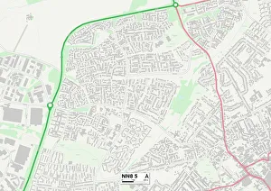
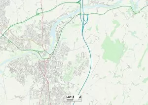
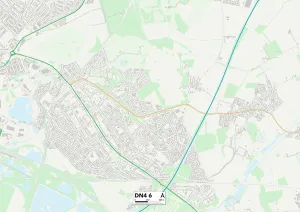
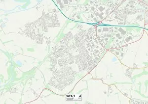
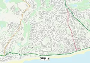
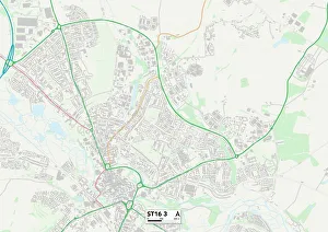
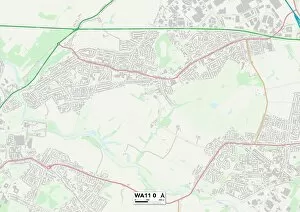
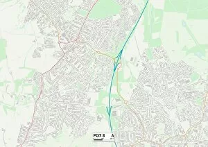
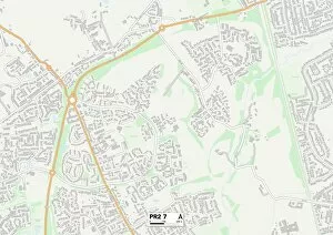
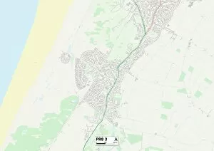
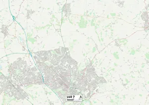
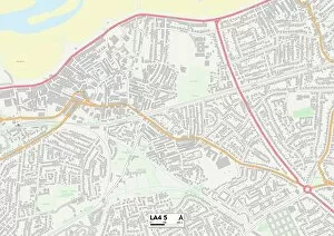
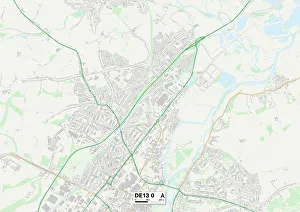
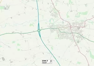
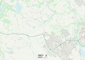
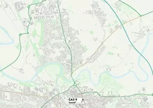
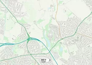
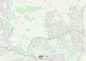
Gleneagles Drive, a name that echoes through various regions of the United Kingdom. From Wellingborough to Lancaster, Doncaster to Wakefield, this road connects communities and weaves its way through diverse landscapes. Starting in Wellingborough NN8 5 Map, Gleneagles Drive sets off on its journey with an air of anticipation. As it reaches Lancaster LA1 3 Map, the road embraces the charm of historic architecture and scenic beauty. Moving further northwards towards Doncaster DN4 6 Map, Gleneagles Drive becomes a conduit for bustling city life and vibrant energy. Continuing its path towards Wakefield WF6 1 Map, Gleneagles Drive encounters a blend of urban development and serene countryside. The road then ventures southward to Hastings TN38 0 Map where coastal breezes dance along its route while offering breathtaking views of the sea. As Gleneagles Drive enters Staffordshire ST16 3 Map, it immerses itself in picturesque landscapes dotted with rolling hills and quaint villages. Journeying onwards into Cheshire East SK10 2 Map reveals stunning rural vistas accompanied by charming country estates. Halton WA8 9 Map welcomes Gleneagles Drive with open arms as it meanders through this community filled with warmth and hospitality. Continuing westward towards St. Helens WA11 0 Map unveils an area rich in industrial heritage yet brimming with modern-day vibrancy. The final stretch takes us to Hampshire PO7 8Map where nature's wonders unfold alongside peaceful neighborhoods. Finally arriving at Preston PR2 7Map followed by Preston PR1 OMap signifies journeys end for our beloved Gleneagles drive - leaving behind memories etched within each mile traveled. Gleneagles Drive is not just a mere roadway but rather an intricate tapestry connecting diverse locations across the UK; uniting people from different walks of life and offering a glimpse into the beauty that lies within each region it touches.