
Grange Street Collection
Welcome to Grange Street, a vibrant and diverse neighborhood that spans across various locations in the UK


All Professionally Made to Order for Quick Shipping
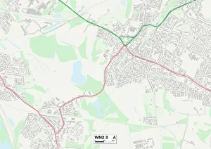
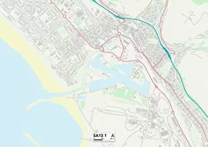
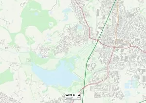
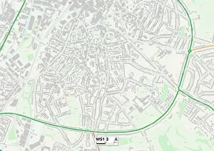
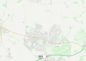
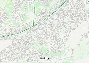
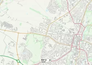
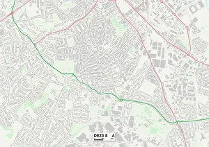
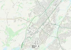
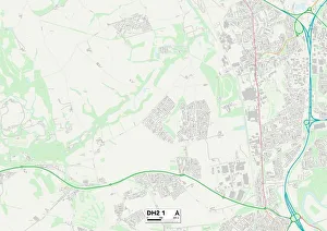
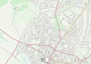
Welcome to Grange Street, a vibrant and diverse neighborhood that spans across various locations in the UK. From Wigan's WN2 3 Map to Neath Port Talbot's SA13 1 Map, Hackney's N1 5 Map to Salford's M6 5 Map, this street connects communities far and wide. Grange Street is not just a physical address; it represents unity and shared experiences. It symbolizes the coming together of different cultures, backgrounds, and stories. Whether you find yourself in BB Blackburn or Burnley's BB11 4 Map, Wakefield's WF2 8 Map or York's YO10 4 Map, each corner has its own unique charm. As you stroll along this bustling street, you'll encounter Central Bedfordshire at SG17 5 Map and Walsall at WS1 3 map. Each location brings its own flavor to the mix – from quaint cafes serving up delicious treats to local shops offering one-of-a-kind treasures. Grange Street is more than just a place; it is a community where residents come together for festivals, events, and celebrations. The spirit of camaraderie can be felt as neighbors gather on warm summer evenings or during festive holiday seasons. No matter which part you call home – whether it be Barnsley at S63 O map or any other location along this vast stretch – there is always something exciting happening nearby. Parks offer green spaces for relaxation while museums provide opportunities for learning about local history. So come explore Grange Street. Immerse yourself in its rich tapestry of diversity and discover the hidden gems that lie within each postcode. This street truly embodies the essence of community – where people from all walks of life coexist harmoniously under one name: Grange Street.