Fraud Blocker Skip to main content

Hampden Road Collection

Hampden Road, a name that echoes through various locations across the United Kingdom

Background imageHampden Road Collection: South Ribble PR25 3 Map

South Ribble PR25 3 Map
Postcode Sector Map of South Ribble PR25 3

Background imageHampden Road Collection: Slough SL3 8 Map

Slough SL3 8 Map
Postcode Sector Map of Slough SL3 8

Background imageHampden Road Collection: Aylesbury Vale HP22 5 Map

Aylesbury Vale HP22 5 Map
Postcode Sector Map of Aylesbury Vale HP22 5

Background imageHampden Road Collection: Brighton and Hove BN2 9 Map

Brighton and Hove BN2 9 Map
Postcode Sector Map of Brighton and Hove BN2 9

Background imageHampden Road Collection: Ashford TN23 6 Map

Ashford TN23 6 Map
Postcode Sector Map of Ashford TN23 6

Background imageHampden Road Collection: Sunderland SR6 9 Map

Sunderland SR6 9 Map
Postcode Sector Map of Sunderland SR6 9

Background imageHampden Road Collection: North Hertfordshire SG4 0 Map

North Hertfordshire SG4 0 Map
Postcode Sector Map of North Hertfordshire SG4 0

Background imageHampden Road Collection: Malvern Hills WR14 1 Map

Malvern Hills WR14 1 Map
Postcode Sector Map of Malvern Hills WR14 1

Background imageHampden Road Collection: East Riding of Yorkshire YO42 1 Map

East Riding of Yorkshire YO42 1 Map
Postcode Sector Map of East Riding of Yorkshire YO42 1

Background imageHampden Road Collection: Doncaster S64 9 Map

Doncaster S64 9 Map
Postcode Sector Map of Doncaster S64 9

Background imageHampden Road Collection: Havering RM5 3 Map

Havering RM5 3 Map
Postcode Sector Map of Havering RM5 3

Background imageHampden Road Collection: South Buckinghamshire SL9 9 Map

South Buckinghamshire SL9 9 Map
Postcode Sector Map of South Buckinghamshire SL9 9

Background imageHampden Road Collection: South Buckinghamshire SL6 5 Map

South Buckinghamshire SL6 5 Map
Postcode Sector Map of South Buckinghamshire SL6 5

Background imageHampden Road Collection: Fenland PE13 2 Map

Fenland PE13 2 Map
Postcode Sector Map of Fenland PE13 2

Background imageHampden Road Collection: Thurrock RM17 5 Map

Thurrock RM17 5 Map
Postcode Sector Map of Thurrock RM17 5

Background imageHampden Road Collection: Vale of White Horse OX12 7 Map

Vale of White Horse OX12 7 Map
Postcode Sector Map of Vale of White Horse OX12 7

Background imageHampden Road Collection: Oxford OX4 3 Map

Oxford OX4 3 Map
Postcode Sector Map of Oxford OX4 3

Background imageHampden Road Collection: Oldham OL2 8 Map

Oldham OL2 8 Map
Postcode Sector Map of Oldham OL2 8

Background imageHampden Road Collection: Berkshire RG4 5 Map

Berkshire RG4 5 Map
Postcode Sector Map of Berkshire RG4 5

Background imageHampden Road Collection: Newport NP19 0 Map

Newport NP19 0 Map
Postcode Sector Map of Newport NP19 0

Background imageHampden Road Collection: Islington N19 4 Map

Islington N19 4 Map
Postcode Sector Map of Islington N19 4

Background imageHampden Road Collection: Haringey N17 0 Map

Haringey N17 0 Map
Postcode Sector Map of Haringey N17 0

Background imageHampden Road Collection: Rushcliffe NG13 8 Map

Rushcliffe NG13 8 Map
Postcode Sector Map of Rushcliffe NG13 8

Background imageHampden Road Collection: Haringey N10 2 Map

Haringey N10 2 Map
Postcode Sector Map of Haringey N10 2

Background imageHampden Road Collection: Haringey N8 0 Map

Haringey N8 0 Map
Postcode Sector Map of Haringey N8 0

Background imageHampden Road Collection: Bedford MK45 1 Map

Bedford MK45 1 Map
Postcode Sector Map of Bedford MK45 1

Background imageHampden Road Collection: Bury M25 1 Map

Bury M25 1 Map
Postcode Sector Map of Bury M25 1

Background imageHampden Road Collection: Trafford M33 7 Map

Trafford M33 7 Map
Postcode Sector Map of Trafford M33 7

Background imageHampden Road Collection: Wrexham LL13 7 Map

Wrexham LL13 7 Map
Postcode Sector Map of Wrexham LL13 7

Background imageHampden Road Collection: Leicester LE4 9 Map

Leicester LE4 9 Map
Postcode Sector Map of Leicester LE4 9

Background imageHampden Road Collection: Kingston upon Thames KT1 3 Map

Kingston upon Thames KT1 3 Map
Postcode Sector Map of Kingston upon Thames KT1 3

Background imageHampden Road Collection: Wycombe HP27 0 Map

Wycombe HP27 0 Map
Postcode Sector Map of Wycombe HP27 0

Background imageHampden Road Collection: Aylesbury Vale HP22 6 Map

Aylesbury Vale HP22 6 Map
Postcode Sector Map of Aylesbury Vale HP22 6

Background imageHampden Road Collection: Aylesbury Vale HP21 8 Map

Aylesbury Vale HP21 8 Map
Postcode Sector Map of Aylesbury Vale HP21 8

Background imageHampden Road Collection: Wycombe HP16 0 Map

Wycombe HP16 0 Map
Postcode Sector Map of Wycombe HP16 0

Background imageHampden Road Collection: Wycombe HP13 6 Map

Wycombe HP13 6 Map
Postcode Sector Map of Wycombe HP13 6

Background imageHampden Road Collection: Harrow HA3 5 Map

Harrow HA3 5 Map
Postcode Sector Map of Harrow HA3 5

Background imageHampden Road Collection: North Somerset BS22 9 Map

North Somerset BS22 9 Map
Postcode Sector Map of North Somerset BS22 9

Background imageHampden Road Collection: Wirral CH42 5 Map

Wirral CH42 5 Map
Postcode Sector Map of Wirral CH42 5

Background imageHampden Road Collection: Bristol BS4 2 Map

Bristol BS4 2 Map
Postcode Sector Map of Bristol BS4 2

Background imageHampden Road Collection: BR Bromley, BR3 4

BR Bromley, BR3 4
BR3 4


All Professionally Made to Order for Quick Shipping

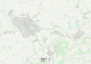
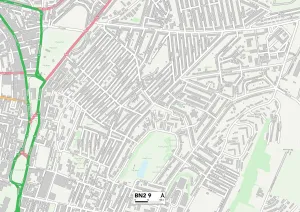
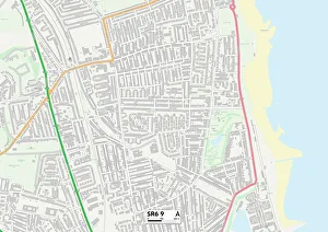
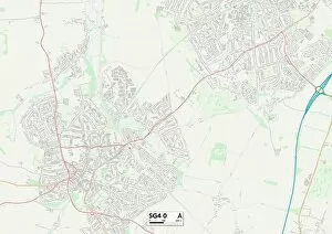
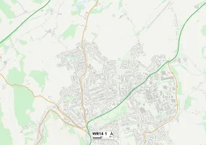
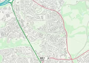
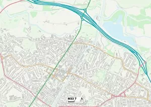
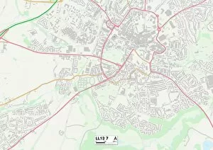
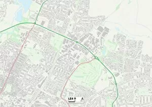
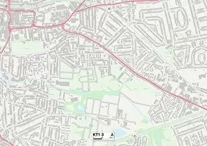
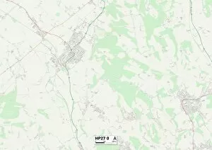
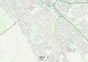
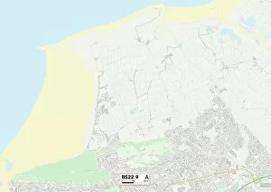
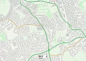
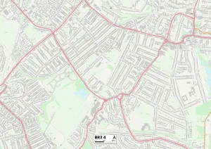
Hampden Road, a name that echoes through various locations across the United Kingdom. From South Ribble to Slough, Aylesbury Vale to Brighton and Hove, this road connects communities far and wide. In South Ribble (PR25 3), Hampden Road is nestled among picturesque surroundings. Its map reveals a neighborhood filled with green spaces and charming homes, offering residents a tranquil haven away from the hustle and bustle of city life. Venturing further south to Slough (SL3 8), Hampden Road takes on a different character. Here, it weaves through an urban landscape bustling with activity. The map showcases its proximity to schools, shops, and other amenities that cater to the needs of its vibrant community. Moving eastward towards Aylesbury Vale (HP22 5), Hampden Road becomes synonymous with rural beauty. Surrounded by rolling hills and sprawling fields captured in its map's contours, this area offers residents a peaceful retreat amidst nature's splendor. Brighton and Hove (BN2 9) welcome Hampden Road as it winds along the coastlines of this seaside town. With its map revealing stunning views of sandy beaches and sparkling waters nearby, residents can enjoy leisurely strolls or soak up the sun in this idyllic setting. Heading northwards to Ashford (TN23 6), Sunderland (SR6 9), North Hertfordshire (SG4 0), Malvern Hills (WR14 1) - each location brings forth unique characteristics that make their stretch special. Whether it be historical landmarks or thriving communities depicted on their respective maps, these areas showcase diversity at every turn. East Riding of Yorkshire's section of Hampden Road (YO42 1) presents vast landscapes dotted with quaint villages displayed on its map—a place where tradition meets progress amid breathtaking countryside vistas.