Fraud Blocker Skip to main content

Harris Close Collection

Harris Close is a hidden gem tucked away in various locations across the UK

Background imageHarris Close Collection: Basildon SS12 9 Map

Basildon SS12 9 Map
Postcode Sector Map of Basildon SS12 9

Background imageHarris Close Collection: Wychavon WR9 8 Map

Wychavon WR9 8 Map
Postcode Sector Map of Wychavon WR9 8

Background imageHarris Close Collection: Berkshire RG17 8 Map

Berkshire RG17 8 Map
Postcode Sector Map of Berkshire RG17 8

Background imageHarris Close Collection: Hounslow TW3 4 Map

Hounslow TW3 4 Map
Postcode Sector Map of Hounslow TW3 4

Background imageHarris Close Collection: Havering RM3 8 Map

Havering RM3 8 Map
Postcode Sector Map of Havering RM3 8

Background imageHarris Close Collection: Thurrock SS17 7 Map

Thurrock SS17 7 Map
Postcode Sector Map of Thurrock SS17 7

Background imageHarris Close Collection: Cornwall PL17 8 Map

Cornwall PL17 8 Map
Postcode Sector Map of Cornwall PL17 8

Background imageHarris Close Collection: South Kesteven PE6 7 Map

South Kesteven PE6 7 Map
Postcode Sector Map of South Kesteven PE6 7

Background imageHarris Close Collection: East Lindsey PE25 2 Map

East Lindsey PE25 2 Map
Postcode Sector Map of East Lindsey PE25 2

Background imageHarris Close Collection: South Northamptonshire NN13 6 Map

South Northamptonshire NN13 6 Map
Postcode Sector Map of South Northamptonshire NN13 6

Background imageHarris Close Collection: Wokingham RG5 4 Map

Wokingham RG5 4 Map
Postcode Sector Map of Wokingham RG5 4

Background imageHarris Close Collection: Crawley RH11 9 Map

Crawley RH11 9 Map
Postcode Sector Map of Crawley RH11 9

Background imageHarris Close Collection: Rochdale OL10 3 Map

Rochdale OL10 3 Map
Postcode Sector Map of Rochdale OL10 3

Background imageHarris Close Collection: Nottingham NG8 1 Map

Nottingham NG8 1 Map
Postcode Sector Map of Nottingham NG8 1

Background imageHarris Close Collection: Northampton NN4 6 Map

Northampton NN4 6 Map
Postcode Sector Map of Northampton NN4 6

Background imageHarris Close Collection: Wellingborough NN9 6 Map

Wellingborough NN9 6 Map
Postcode Sector Map of Wellingborough NN9 6

Background imageHarris Close Collection: Enfield N11 3 Map

Enfield N11 3 Map
Postcode Sector Map of Enfield N11 3

Background imageHarris Close Collection: Milton Keynes MK17 0 Map

Milton Keynes MK17 0 Map
Postcode Sector Map of Milton Keynes MK17 0

Background imageHarris Close Collection: Bedford MK42 8 Map

Bedford MK42 8 Map
Postcode Sector Map of Bedford MK42 8

Background imageHarris Close Collection: Leicester LE9 6 Map

Leicester LE9 6 Map
Postcode Sector Map of Leicester LE9 6

Background imageHarris Close Collection: Tameside M34 2 Map

Tameside M34 2 Map
Postcode Sector Map of Tameside M34 2

Background imageHarris Close Collection: Blackpool FY4 5 Map

Blackpool FY4 5 Map
Postcode Sector Map of Blackpool FY4 5

Background imageHarris Close Collection: Gloucester GL3 2 Map

Gloucester GL3 2 Map
Postcode Sector Map of Gloucester GL3 2

Background imageHarris Close Collection: East Renfrewshire G77 6 Map

East Renfrewshire G77 6 Map
Postcode Sector Map of East Renfrewshire G77 6

Background imageHarris Close Collection: Mid Devon EX16 7 Map

Mid Devon EX16 7 Map
Postcode Sector Map of Mid Devon EX16 7

Background imageHarris Close Collection: Enfield EN2 8 Map

Enfield EN2 8 Map
Postcode Sector Map of Enfield EN2 8

Background imageHarris Close Collection: Warwick CV35 0 Map

Warwick CV35 0 Map
Postcode Sector Map of Warwick CV35 0

Background imageHarris Close Collection: Cheshire East CW1 4 Map

Cheshire East CW1 4 Map
Postcode Sector Map of Cheshire East CW1 4

Background imageHarris Close Collection: Amber Valley DE5 3 Map

Amber Valley DE5 3 Map
Postcode Sector Map of Amber Valley DE5 3

Background imageHarris Close Collection: Gravesham DA11 8 Map

Gravesham DA11 8 Map
Postcode Sector Map of Gravesham DA11 8

Background imageHarris Close Collection: Wirral CH63 9 Map

Wirral CH63 9 Map
Postcode Sector Map of Wirral CH63 9

Background imageHarris Close Collection: Stratford-on-Avon B95 5 Map

Stratford-on-Avon B95 5 Map
Postcode Sector Map of Stratford-on-Avon B95 5

Background imageHarris Close Collection: Mendip BA11 5 Map

Mendip BA11 5 Map
Postcode Sector Map of Mendip BA11 5

Background imageHarris Close Collection: B Birmingham, B98 7

B Birmingham, B98 7
B98 7


All Professionally Made to Order for Quick Shipping

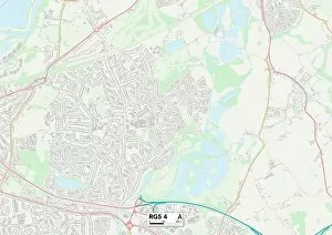
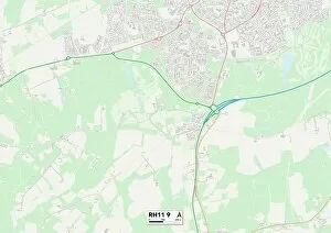
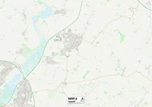
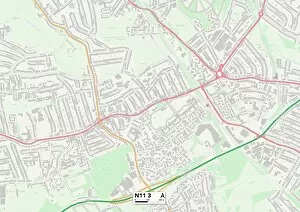
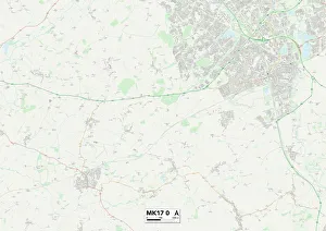
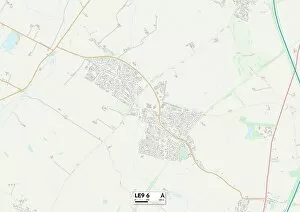
Harris Close is a hidden gem tucked away in various locations across the UK. From Basildon's SS12 9 Map to Wychavon's WR9 8 Map, this quaint street can be found in different corners of the country. Its charm extends to Berkshire's RG17 8 Map and Hounslow's TW3 4 Map, where residents enjoy the peacefulness of their surroundings. Venturing further, Harris Close welcomes visitors in Havering at RM3 8 Map and Thurrock at SS17 7 Map. Each location offers its own unique character while maintaining the sense of community that defines Harris Close. For those seeking a coastal escape, Cornwall's PL17 8 Map boasts stunning views near Harris Close. Meanwhile, South Kesteven at PE6 7 Map and East Lindsey at PE25 2 Map offer picturesque countryside settings for residents to relish. Heading towards Northamptonshire, you'll find South Northamptonshire nestled within NN13 6 Map. Here, Harris Close provides a tranquil retreat from bustling city life. Completing our journey through these idyllic locales is Wokingham at RG5 4Map and Crawley at RH11 9Map. Both areas showcase the allure with their well-maintained streets and friendly neighbors.