
Hawthorne Close Collection
Welcome to Hawthorne Close, a charming residential neighborhood located in various parts of the United Kingdom


All Professionally Made to Order for Quick Shipping
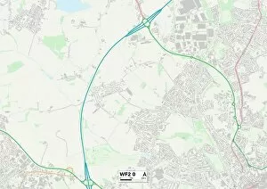
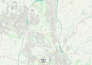
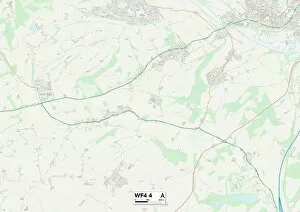
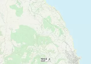
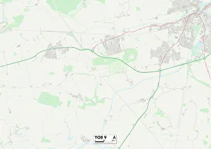
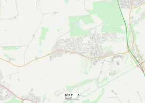
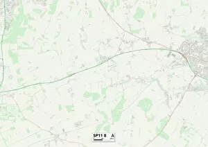
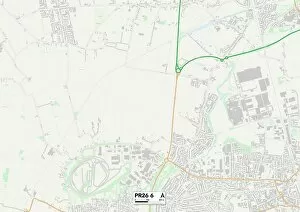
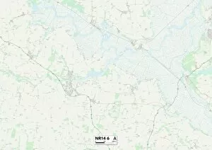
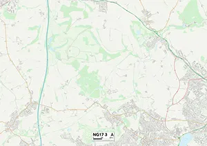
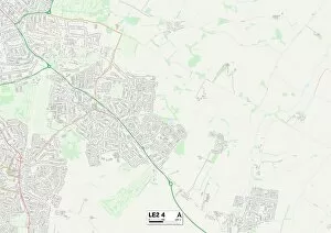
Welcome to Hawthorne Close, a charming residential neighborhood located in various parts of the United Kingdom. With its diverse locations spanning Wakefield, Teignbridge, Chorley, North Yorkshire, York, Staffordshire, Somerset, County Durham, Test Valley, North Hertfordshire and Wychavon - there's something for everyone here. In Wakefield WF2 0 Map and WF4 4 Map areas offer a peaceful retreat from the bustling city life. Surrounded by lush greenery and scenic landscapes; it's an ideal place to unwind after a long day. If you're looking for a coastal escape with breathtaking views then head over to Teignbridge TQ12 4 Map or North Yorkshire YO13 0 Map. These locations within Hawthorne Close provide easy access to stunning beaches and picturesque seaside towns that will leave you feeling refreshed and rejuvenated. For those seeking historical charm mixed with modern amenities; Chorley PR6 7 Map is the perfect spot. This area boasts beautiful architecture alongside vibrant shops and restaurants offering a delightful blend of old-world charm and contemporary living. York YO8 9 Map offers residents the best of both worlds - rich history combined with urban convenience. Explore ancient landmarks such as York Minster or indulge in shopping at high-end boutiques before enjoying a delicious meal at one of the many trendy eateries nearby. Staffordshire ST10 4 Map provides an idyllic countryside setting where nature lovers can immerse themselves in tranquil surroundings while Somerset TA18 7 Map offers rolling hills dotted with quaint villages waiting to be explored. County Durham SR7 9 Map is another gem within Hawthorne Close that showcases stunning landscapes along with cultural attractions like Beamish Museum which brings history alive through interactive exhibits. Test Valley SP11 8Map nestled amidst Hampshire's picturesque countryside offers residents ample opportunities for outdoor activities such as hiking, cycling, and fishing.