
Hydrology Collection
Hydrology, the study of water and its movement through various landscapes, unveils nature's intricate tapestry


All Professionally Made to Order for Quick Shipping
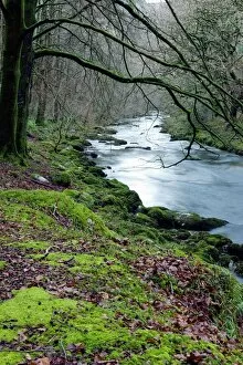
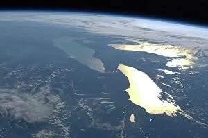
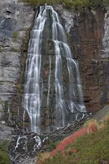
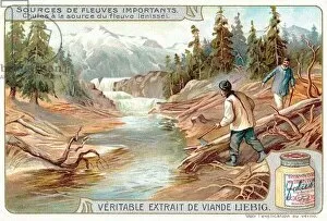
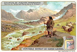
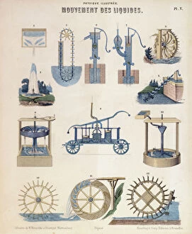
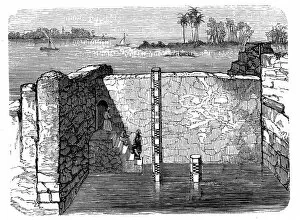
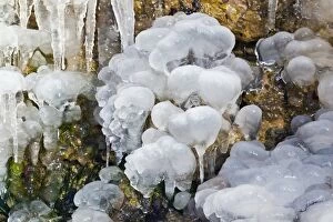
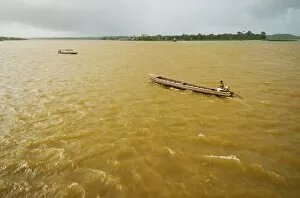
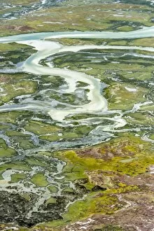
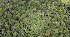
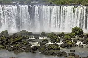
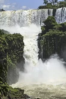
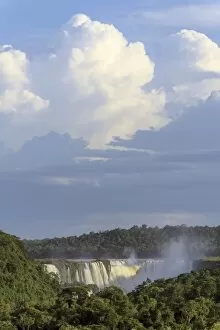
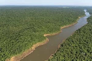
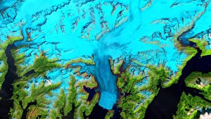
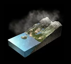
Hydrology, the study of water and its movement through various landscapes, unveils nature's intricate tapestry. From the vast expanse of a desert alluvial fan to the serene beauty of a woodland river, hydrology encompasses it all. Satellite images capture the grandeur of hydrological wonders like The Great Lakes seen from space aboard the International Space Station. A mesmerizing sight that showcases their sheer size and importance in North America's water cycle. In Uinta National Forest, Utah, Bridal Veil Falls cascades gracefully during autumn. Its golden hues blend with the vibrant foliage, creating a breathtaking spectacle that exemplifies hydrology's harmony with seasonal changes. Measuring water levels becomes vital in understanding our planet's delicate balance. Scientists diligently work on this task using advanced techniques such as those employed by NASA's Global Precipitation Measurement Mission. Their efforts enable us to comprehend precipitation patterns crucial for sustainable resource management. Chromolithographs transport us to distant lands where hydrological marvels shape landscapes and cultures alike. The Yenisei River reveals its power at its source through an awe-inspiring waterfall while Tibet holds secrets within as it births the mighty Yangtze River amidst stunning surroundings. The Mississippi River boasts its own majestic waterfall, captivating hearts with its raw energy and splendorous display. Meanwhile, a chromolithograph depicts a tranquil lake from which the Amazon flows—a reminder of how interconnected Earth's water systems truly are. James Rennell immortalized his passion for hydrology through engravings that depict rivers' origins across continents. These works remind us that every drop has traveled far before reaching our eyes—a testament to both nature's resilience and humanity's reliance on these life-giving waters. As we delve into hydrology’s depths, we unravel mysteries hidden beneath Earth’s surface—like discovering the source of Rhone River depicted in yet another enchanting chromolithograph—an invitation to explore the intricate web of waterways that shape our world.