
Illustrated Map Collection
"Discover the Rich Tapestry of History with Illustrated Maps" Step back in time and embark on a visual journey through the ages with these captivating illustrated maps


All Professionally Made to Order for Quick Shipping
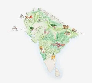
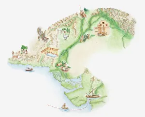
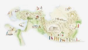
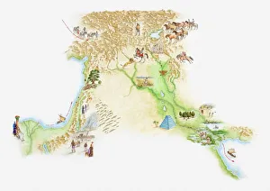
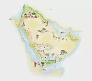
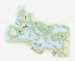
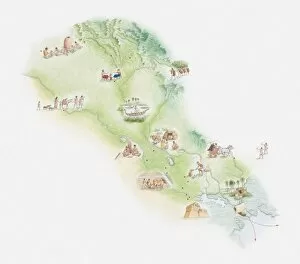
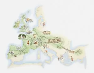
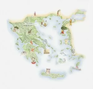
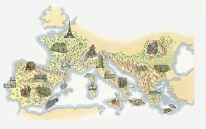
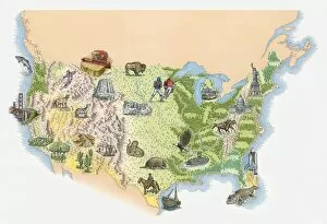
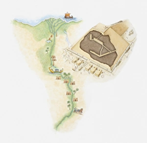
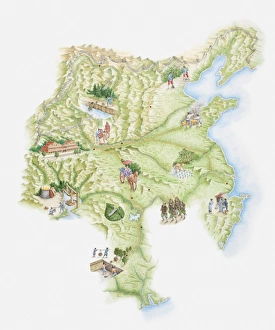
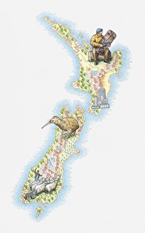
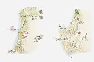
"Discover the Rich Tapestry of History with Illustrated Maps" Step back in time and embark on a visual journey through the ages with these captivating illustrated maps. Delve into the ancient Mauryan Empire as you explore an intricately detailed map of India, tracing its borders and landmarks that once defined this powerful civilization. Uncover the secrets of the mighty Assyrian Empire, brought to life through an illustrated map that showcases its vast territories and influential cities. Marvel at the intricate network of trade routes and pilgrimage sites that shaped ancient Arab civilizations, beautifully depicted on another stunning illustration. Immerse yourself in the fascinating world of ancient Japan as you navigate through a meticulously crafted map, highlighting key regions and historical landmarks that played a significant role in shaping this enigmatic culture. Travel back to Indus Valley Civilization, where a visually striking map reveals its sprawling cities and advanced urban planning. Witness how ancient Persia flourished under various dynasties by exploring an illustrated map showcasing its grandeur and strategic locations. Transport yourself to a time when Rome reigned supreme over vast territories across Europe with an awe-inspiring depiction of their empire during BC times. Marvel at Greenland's icy landscapes while uncovering hidden gems within its boundaries on yet another captivating illustrated map. Trace the origins of human civilization along rivers Tigris and Euphrates as you explore Sumer's rich history through an intricately designed illustration. Embark on a journey across Bronze Age civilizations in Europe, marveling at stone circles, settlements, and agricultural activity carefully mapped out for your exploration. Experience Ancient Greece like never before as you traverse through time via an exquisitely detailed illustration capturing iconic city-states such as Athens and Sparta. Finally, venture beyond continents to Central and Southern America where vibrant cultures thrived long ago - let your imagination soar amidst lush jungles or towering pyramids thanks to these mesmerizing illustrations. These beautifully crafted illustrated maps offer more than just geographical information.