
Image Created 1860 1869 Collection
"Journey through Time: Exploring the World in the 1860s" Step back in time with this captivating collection of images created between 1860 and 1869


All Professionally Made to Order for Quick Shipping
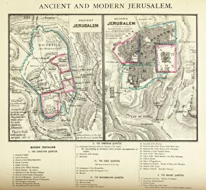
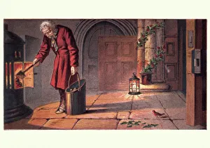
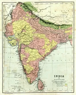
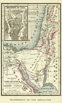
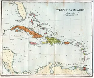
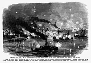
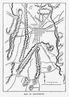
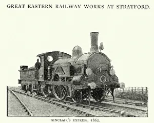
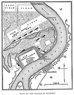
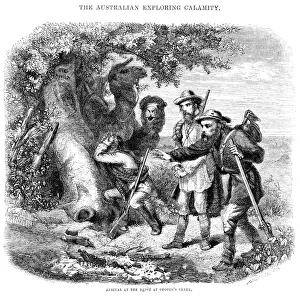
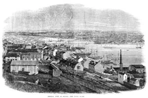
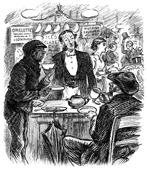
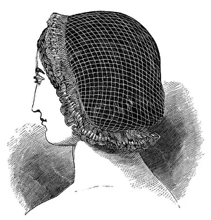
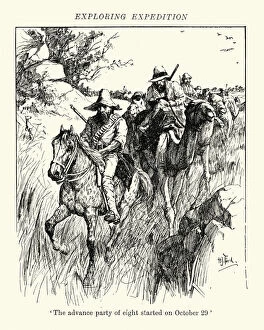
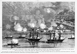
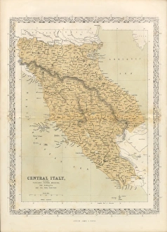
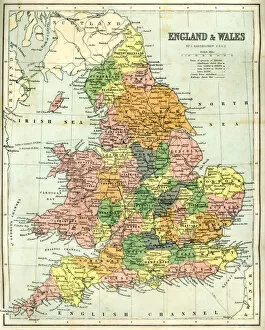
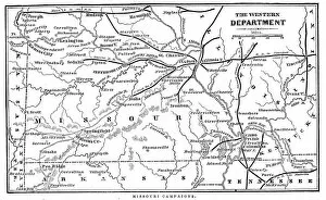
"Journey through Time: Exploring the World in the 1860s" Step back in time with this captivating collection of images created between 1860 and 1869. Delve into the rich history and diverse landscapes of different regions, as depicted by these antique maps. Embark on a visual tour of Ireland, Scotland, and India through beautifully detailed antique maps. Discover the ancient charm of Jerusalem with an engraving that showcases both its past and present. Immerse yourself in the wonders of Ancient Greece, tracing the footsteps of legendary philosophers and warriors. Follow the wanderings of the Israelites across a meticulously crafted map engraving that brings their epic journey to life. Marvel at a vintage map showcasing the enchanting West India Islands during the mid-1800s. Witness naval battles unfold along Mississippi's shores during America's Civil War with striking engravings capturing intense moments from history. Study a meticulously drawn Battle of Gettysburg Map, offering insights into one of America's most significant conflicts. Transport yourself to Victorian times as you witness a church warden lighting fires on Christmas Eve—a heartwarming scene filled with holiday spirit. Explore Italy through an exquisite antique map that highlights its cultural heritage and breathtaking landscapes. Finally, marvel at technological advancements with an image featuring Great Eastern Railway Single Express Locomotive from 1862—an engineering marvel revolutionizing transportation during this era. These images offer glimpses into various aspects of life during this transformative decade—history, geography, warfare, religion, culture—all captured within frames frozen in time. Let your imagination soar as you unravel stories woven by these remarkable visuals from yesteryear.