
International Border Collection
"Exploring the World's Dividing Lines: A Journey Through International Borders" Embarking on a visual odyssey


All Professionally Made to Order for Quick Shipping
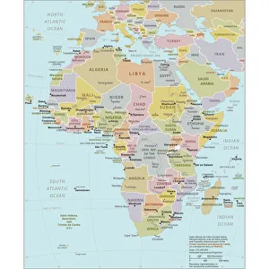
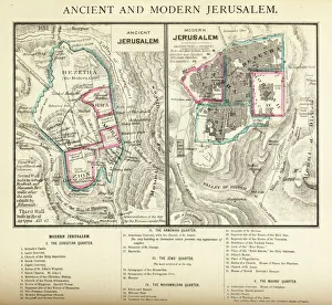
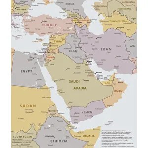
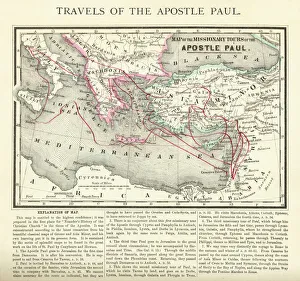
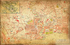
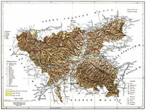
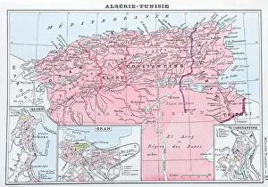
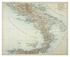
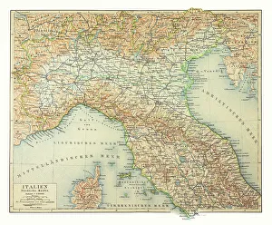
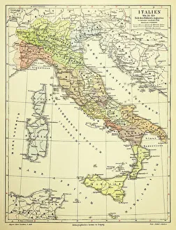
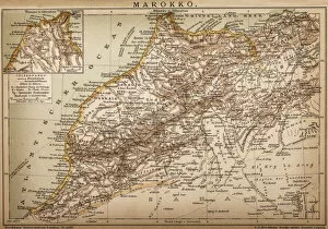
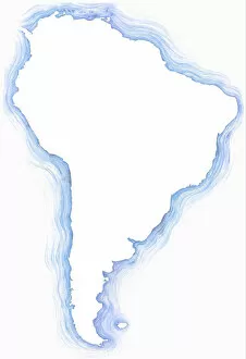
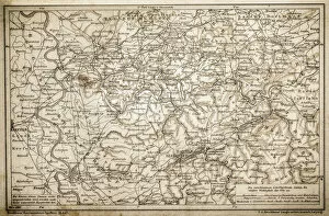
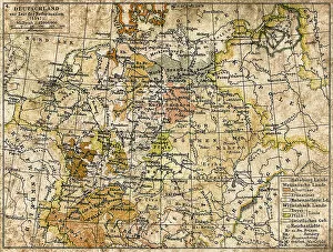
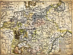
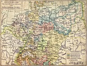
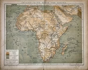
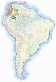
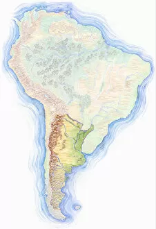
"Exploring the World's Dividing Lines: A Journey Through International Borders" Embarking on a visual odyssey, we delve into the intricate web of international borders that shape our global landscape. From the Political Map of Africa to China's expansive territory, and from the Political Map of The Middle East to tracing the Travels of The Apostle Paul, each map unravels stories etched in history. Ancient and Modern Jerusalem Map Engraving takes us through time as we witness the evolution of this sacred city. Meanwhile, Singapore beckons with its vibrant multiculturalism while Romania reveals its rich cultural tapestry nestled within Europe's boundaries. A Highly detailed hand-drawn map showcases Brazil's vastness within South America's embrace, adorned with a compass rose guiding explorers along the equator. In contrast, maps from 1895 unveil Italy's regional diversity - Southern Italy exuding warmth and charm while Northern Italy captivates with its majestic landscapes. As we navigate an antique map showcasing Algeria and Tunisia, echoes of ancient civilizations reverberate across these North African lands. These borders remind us how geography shapes nations but also serve as reminders that unity can transcend divisions, and are more than mere lines on a map; they represent complex histories, diverse cultures, political dynamics, and economic interactions. They symbolize both connection and separation – gateways for exchange yet barriers between nations. In this captivating journey through cartography’s lens, we gain insight into humanity’s quest for identity amidst shifting territorial boundaries. Let us celebrate these international borders not only for their geographical significance but also for their role in shaping our shared human story.