
James Close Collection
"James Close: A Journey Across the UK's Map" Embarking on a geographical adventure, James Close traverses through various towns and cities across the United Kingdom


All Professionally Made to Order for Quick Shipping
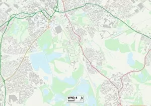
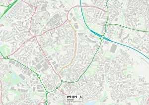
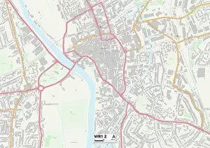
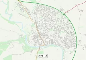
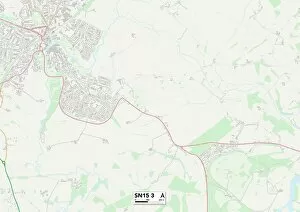
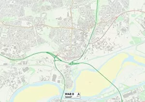
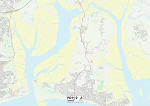
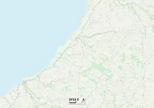
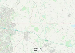
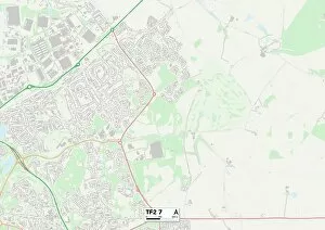
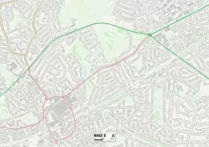
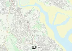
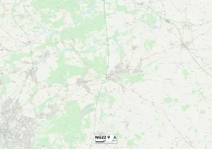
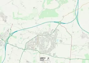
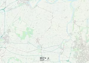
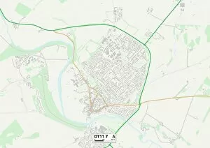
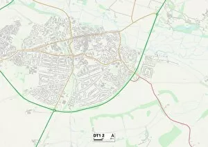
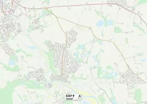
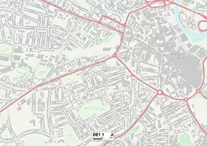
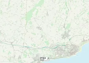
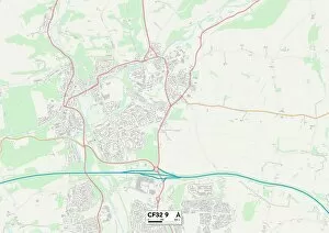
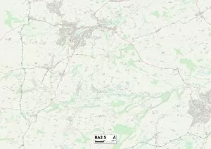
"James Close: A Journey Across the UK's Map" Embarking on a geographical adventure, James Close traverses through various towns and cities across the United Kingdom. From the vibrant streets of Wigan in WN3 to the bustling community of Sandwell in WS10, he immerses himself in diverse cultures and landscapes. Venturing further south, James finds solace amidst the coastal beauty of Plymouth in PL9. With its picturesque views and maritime charm, this destination becomes a cherished memory on his map. Moving eastward, Hertsmere welcomes him with open arms as he explores its charming neighborhoods and discovers hidden gems within WD23. The journey continues towards Worcester's WR1, where history intertwines seamlessly with modernity. The city's rich heritage captivates James as he wanders through its storied streets. Further north lies Shropshire in SY8 - a place brimming with natural wonders that leave an indelible mark on his soul. Tameside beckons next on SK16's map; it embraces him with warmth and hospitality as he delves into its vibrant local scene. Heading southwest to Wiltshire's SN15 reveals breathtaking countryside vistas that inspire awe at every turn. Lichfield awaits James' arrival at WS7 - a town steeped in tradition yet embracing progress. Its quaint charm leaves an imprint on his heart before venturing into East Riding of Yorkshire's YO42 and YO25 regions. Here, rural beauty merges harmoniously with thriving communities, creating an idyllic atmosphere for exploration. Finally reaching Halton at WA8-0 marks both an end and a beginning for James Close’s remarkable journey across these varied locations. Each pin dropped onto his personal map represents not just physical places but also memories etched forever within his being – reminding him of the incredible diversity found within our own backyard.