Fraud Blocker Skip to main content

Knights Close Collection

Embark on a journey through the realm of Knights Close, where history and charm intertwine

Background imageKnights Close Collection: Corby NN18 0 Map

Corby NN18 0 Map
Postcode Sector Map of Corby NN18 0

Background imageKnights Close Collection: Nottingham NG5 9 Map

Nottingham NG5 9 Map
Postcode Sector Map of Nottingham NG5 9

Background imageKnights Close Collection: Milton Keynes MK17 9 Map

Milton Keynes MK17 9 Map
Postcode Sector Map of Milton Keynes MK17 9

Background imageKnights Close Collection: Leicester LE17 6 Map

Leicester LE17 6 Map
Postcode Sector Map of Leicester LE17 6

Background imageKnights Close Collection: Leeds LS15 7 Map

Leeds LS15 7 Map
Postcode Sector Map of Leeds LS15 7

Background imageKnights Close Collection: Wolverhampton WV13 1 Map

Wolverhampton WV13 1 Map
Postcode Sector Map of Wolverhampton WV13 1

Background imageKnights Close Collection: Runnymede TW20 8 Map

Runnymede TW20 8 Map
Postcode Sector Map of Runnymede TW20 8

Background imageKnights Close Collection: Eastleigh SO31 9 Map

Eastleigh SO31 9 Map
Postcode Sector Map of Eastleigh SO31 9

Background imageKnights Close Collection: Staffordshire ST19 5 Map

Staffordshire ST19 5 Map
Postcode Sector Map of Staffordshire ST19 5

Background imageKnights Close Collection: East Hertfordshire SG9 9 Map

East Hertfordshire SG9 9 Map
Postcode Sector Map of East Hertfordshire SG9 9

Background imageKnights Close Collection: Wiltshire SN15 3 Map

Wiltshire SN15 3 Map
Postcode Sector Map of Wiltshire SN15 3

Background imageKnights Close Collection: Kennet SN8 4 Map

Kennet SN8 4 Map
Postcode Sector Map of Kennet SN8 4

Background imageKnights Close Collection: Halton WA8 3 Map

Halton WA8 3 Map
Postcode Sector Map of Halton WA8 3

Background imageKnights Close Collection: Somerset TA7 0 Map

Somerset TA7 0 Map
Postcode Sector Map of Somerset TA7 0

Background imageKnights Close Collection: Tunbridge Wells TN2 4 Map

Tunbridge Wells TN2 4 Map
Postcode Sector Map of Tunbridge Wells TN2 4

Background imageKnights Close Collection: Bracknell Forest SL4 5 Map

Bracknell Forest SL4 5 Map
Postcode Sector Map of Bracknell Forest SL4 5

Background imageKnights Close Collection: Cornwall PL34 0 Map

Cornwall PL34 0 Map
Postcode Sector Map of Cornwall PL34 0

Background imageKnights Close Collection: Fenland PE15 0 Map

Fenland PE15 0 Map
Postcode Sector Map of Fenland PE15 0

Background imageKnights Close Collection: Fenland PE13 5 Map

Fenland PE13 5 Map
Postcode Sector Map of Fenland PE13 5

Background imageKnights Close Collection: Huntingdonshire PE19 8 Map

Huntingdonshire PE19 8 Map
Postcode Sector Map of Huntingdonshire PE19 8

Background imageKnights Close Collection: Bedford NN29 7 Map

Bedford NN29 7 Map
Postcode Sector Map of Bedford NN29 7

Background imageKnights Close Collection: Nottingham NG2 7 Map

Nottingham NG2 7 Map
Postcode Sector Map of Nottingham NG2 7

Background imageKnights Close Collection: Rushcliffe NG13 8 Map

Rushcliffe NG13 8 Map
Postcode Sector Map of Rushcliffe NG13 8

Background imageKnights Close Collection: Broxtowe NG9 6 Map

Broxtowe NG9 6 Map
Postcode Sector Map of Broxtowe NG9 6

Background imageKnights Close Collection: Daventry NN6 0 Map

Daventry NN6 0 Map
Postcode Sector Map of Daventry NN6 0

Background imageKnights Close Collection: Wigan M46 0 Map

Wigan M46 0 Map
Postcode Sector Map of Wigan M46 0

Background imageKnights Close Collection: Medway ME3 9 Map

Medway ME3 9 Map
Postcode Sector Map of Medway ME3 9

Background imageKnights Close Collection: Bury M25 1 Map

Bury M25 1 Map
Postcode Sector Map of Bury M25 1

Background imageKnights Close Collection: Milton Keynes MK46 4 Map

Milton Keynes MK46 4 Map
Postcode Sector Map of Milton Keynes MK46 4

Background imageKnights Close Collection: Leicester LE9 4 Map

Leicester LE9 4 Map
Postcode Sector Map of Leicester LE9 4

Background imageKnights Close Collection: Leicester LE10 2 Map

Leicester LE10 2 Map
Postcode Sector Map of Leicester LE10 2

Background imageKnights Close Collection: Central Bedfordshire LU6 2 Map

Central Bedfordshire LU6 2 Map
Postcode Sector Map of Central Bedfordshire LU6 2

Background imageKnights Close Collection: Leicester LE65 2 Map

Leicester LE65 2 Map
Postcode Sector Map of Leicester LE65 2

Background imageKnights Close Collection: Leicester LE7 9 Map

Leicester LE7 9 Map
Postcode Sector Map of Leicester LE7 9

Background imageKnights Close Collection: Suffolk Coastal IP11 9 Map

Suffolk Coastal IP11 9 Map
Postcode Sector Map of Suffolk Coastal IP11 9

Background imageKnights Close Collection: Elmbridge KT8 2 Map

Elmbridge KT8 2 Map
Postcode Sector Map of Elmbridge KT8 2

Background imageKnights Close Collection: Mid Suffolk IP14 6 Map

Mid Suffolk IP14 6 Map
Postcode Sector Map of Mid Suffolk IP14 6

Background imageKnights Close Collection: Mid Suffolk IP14 4 Map

Mid Suffolk IP14 4 Map
Postcode Sector Map of Mid Suffolk IP14 4

Background imageKnights Close Collection: Wyre FY5 3 Map

Wyre FY5 3 Map
Postcode Sector Map of Wyre FY5 3

Background imageKnights Close Collection: Doncaster DN9 1 Map

Doncaster DN9 1 Map
Postcode Sector Map of Doncaster DN9 1

Background imageKnights Close Collection: Derby DE24 3 Map

Derby DE24 3 Map
Postcode Sector Map of Derby DE24 3

Background imageKnights Close Collection: North East Lincolnshire DN37 7 Map

North East Lincolnshire DN37 7 Map
Postcode Sector Map of North East Lincolnshire DN37 7

Background imageKnights Close Collection: North Dorset DT11 9 Map

North Dorset DT11 9 Map
Postcode Sector Map of North Dorset DT11 9

Background imageKnights Close Collection: Tendring CO11 1 Map

Tendring CO11 1 Map
Postcode Sector Map of Tendring CO11 1

Background imageKnights Close Collection: Colchester CO5 0 Map

Colchester CO5 0 Map
Postcode Sector Map of Colchester CO5 0

Background imageKnights Close Collection: East Hertfordshire CM23 4 Map

East Hertfordshire CM23 4 Map
Postcode Sector Map of East Hertfordshire CM23 4

Background imageKnights Close Collection: Bristol BS9 4 Map

Bristol BS9 4 Map
Postcode Sector Map of Bristol BS9 4

Background imageKnights Close Collection: Birmingham B23 6 Map

Birmingham B23 6 Map
Postcode Sector Map of Birmingham B23 6


All Professionally Made to Order for Quick Shipping

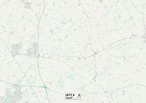
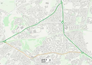
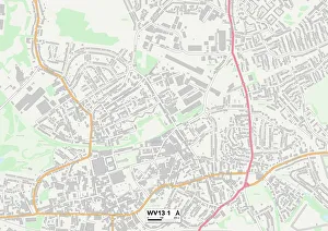
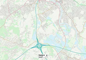
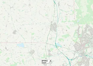
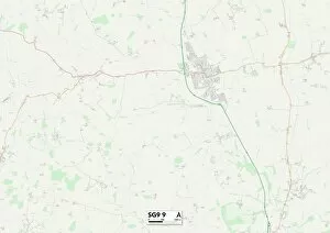
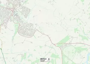
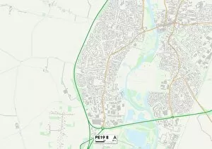
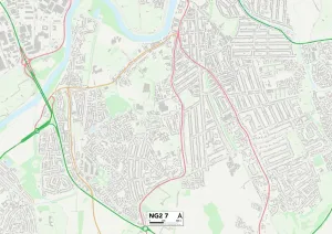
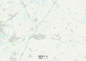
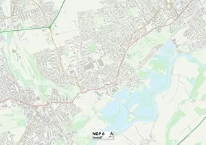
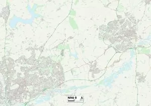
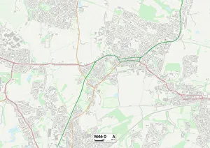
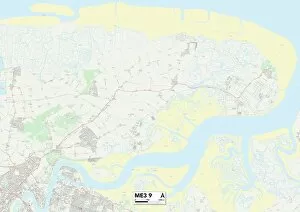
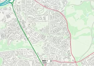
Embark on a journey through the realm of Knights Close, where history and charm intertwine. Located in various picturesque locations across England, from Nottingham to Kennet, each address is marked by its unique map coordinates. Explore the medieval streets of Nottingham NG5 9 or immerse yourself in Milton Keynes MK17 9's modern allure. Discover the rich heritage of Leicester LE17 6 or experience the vibrant energy of Leeds LS15 Wander through Wolverhampton WV13 1's enchanting landscapes or bask in the tranquility of Runnymede TW20 Uncover hidden gems in Eastleigh SO31 9 or delve into Staffordshire ST19 5's rustic beauty. Indulge your senses amidst Cheshire East SK11 7's idyllic surroundings or savor the quaint charm of East Hertfordshire SG9 Lose yourself in Wiltshire SN15 3's rolling hills or let your spirit soar through Kennet SN8 4's breathtaking vistas. Each location holds its own story waiting to be unraveled, inviting you to become part of their timeless tales at Knights Close.