
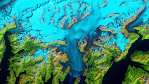
Landsat Collection
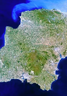
Landsat, the true-colour satellite image of southwest England reveals the stunning beauty of nature's palette


All Professionally Made to Order for Quick Shipping
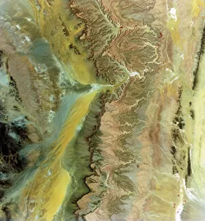
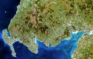
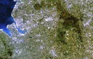
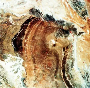
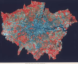
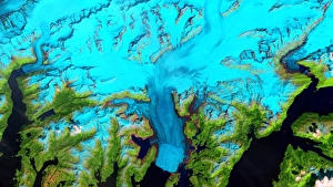
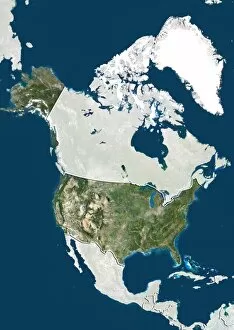
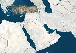
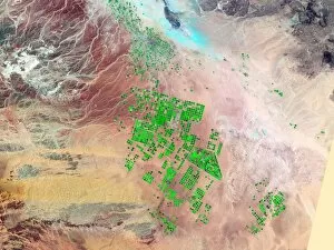
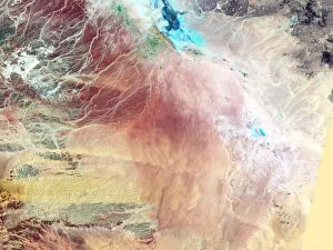
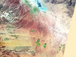
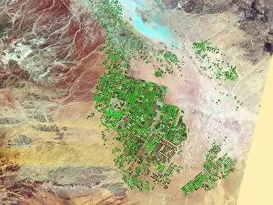
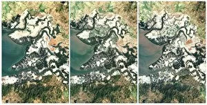
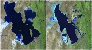
Landsat, the true-colour satellite image of southwest England reveals the stunning beauty of nature's palette. From lush green fields to meandering rivers, this snapshot from above captures the essence of this picturesque region. Venturing across continents, Landsat takes us to the Saudi Arabian desert where vast stretches of golden sand extend as far as the eye can see. The barren landscape is a testament to both the harshness and mesmerizing allure of Mother Earth. In contrast, Barbados appears like a tropical paradise in its satellite image. With turquoise waters surrounding pristine beaches and vibrant coral reefs, it's no wonder why this Caribbean gem attracts visitors from around the world. Moving towards the Middle East, another satellite image showcases an intricate tapestry woven by human hands. Sprawling cities juxtaposed against arid deserts create a captivating sight that reflects mankind's ability to adapt and thrive in challenging environments. Closer to home, a true-colour satellite image unveils southwest Scotland's rugged terrain. Majestic mountains shrouded in mist stand tall amidst serene lochs and dense forests - an enchanting panorama that beckons explorers and nature enthusiasts alike. Crossing over oceans once again brings us to one of nature's most awe-inspiring wonders: Grand Canyon. This geological masterpiece is captured through Landsat's lens, showcasing its breathtaking magnitude and vivid hues carved by millions of years' worth of erosion. Looking back at history, Landsat provides glimpses into our past with photographs such as Great Namaland in Namibia from 1972 or Death Valley in California spanning over a decade from 1982-1993. These images serve as reminders not only of our planet's ever-changing landscapes but also humanity's impact on them. Shifting focus towards urban landscapes, composite photographs taken by Landsat reveal iconic cities like London and Manhattan during different eras. These snapshots offer insights into their growth and development over time while highlighting the intricate patterns and structures that define these bustling metropolises.